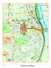
Albany downtown map
Road map of downtown Albany, NY. Shows city parks and New York State government buildings.
263 miles away
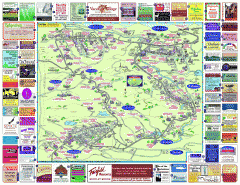
North County Berkshires map
Tourist map of North County - Pittsfield, N. Adams, Adams, Lanesboro, Cheshire, Williamstown...
263 miles away
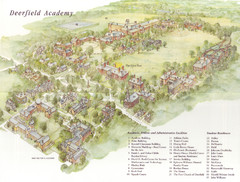
Deerfield Academy Campus Map
Shows buildings and facilities of Deerfield Academy. Scanned.
263 miles away
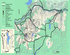
Wendell State Forest trail map
Trail map of Wendell State Forest in Massachusetts.
263 miles away
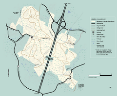
Georgetown-Rowley State Forest summer use map
Summer use map for Georgetown-Rowley State Forest.
264 miles away
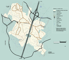
Georgetown-Rowley State Forest winter use map
Winter use map for the Georgetown-Rowley State Forest in Massachusetts.
264 miles away
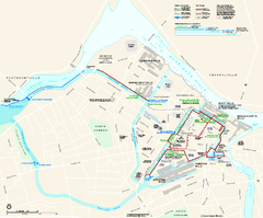
Lowell National Historical Park Official Map
Official NPS map of Lowell National Historical Park in Lowell, Massachusetts. Map shows all of...
265 miles away
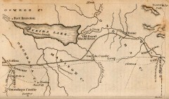
Antique map of Utica, NY from 1830
Map of Utica, NY from The Northern Traveller, and Northern Tour; with the Routes to The Springs...
265 miles away
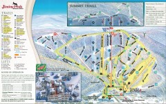
Jiminy Peak Ski Trail Map
Official ski trail map of Jiminy Peak ski area from the 2007-2008 season.
265 miles away
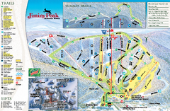
Jiminy Peak Resort Ski Trail Map
Trail map from Jiminy Peak Resort.
265 miles away
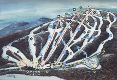
Brodie Ski Trail Map
Trail map from Brodie.
266 miles away
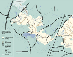
Willowdale State Forest map of Hood Pond
Trail map of the Hood Pond area of the Willowdale State Park in Massachusetts.
266 miles away
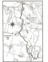
Monoosnoc Trail Map
267 miles away
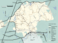
Willowdale State Forest map of Pine Swamp
Trail map of the Pine Swamp area of Willowdale State Park in Massachusetts.
267 miles away
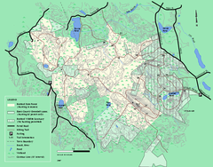
Boxford State Park trail map
Trail map of Boxford State Forest in Massachusetts
267 miles away
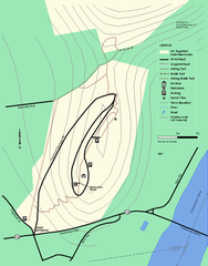
Mt. Sugarloaf State Reservation trail map
Trail map of Mount Sugarloaf State Reservation
268 miles away
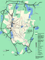
Leominster State Forest trail map
Trail map of Leominster State Forest in Massachusetts
268 miles away
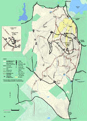
Wachusett Mountain State Reservation trail map
Trail map of Wachusett Mountain State Reservation in Massachusetts.
268 miles away
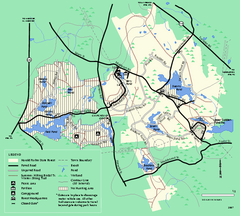
Harold Parker State Forest trail map
Trail map of Harold Parker State Forest in Massachusetts
268 miles away
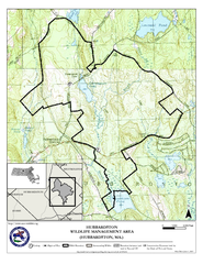
Hubbardston WMA Map
268 miles away
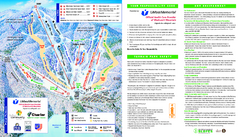
Wachusett Mountain Ski Trail Map
Trail map from Wachusett Mountain.
268 miles away
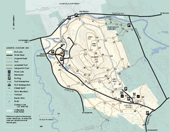
Bradley Palmer State Park summer map
Summer use map of Bradley Palmer State Park in Massachusetts
269 miles away
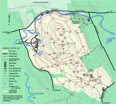
Bradley Palmer State Park winter map
Winter trail map of Bradley Palmer State Park.
269 miles away
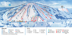
Nashoba Valley Ski Area Ski Trail Map
Trail map from Nashoba Valley Ski Area.
269 miles away
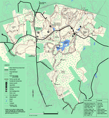
Great Brook Farm State Park trail map
Trail map of Great Brook Farm State Park.
269 miles away
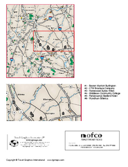
Greater Merrimack Valley, Massachusetts Map
Tourist map of greater Merrimack Valley, Massachusetts. Lodging, forests, and other points of...
270 miles away
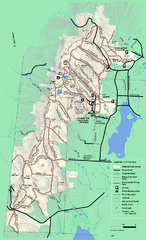
Pittsfield State Forest winter trail map
Winter use trail map of Pittsfield State Forest in Massachusetts.
270 miles away
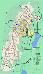
Pittsfield State Forest summer trail map
Summer use trail map of Pittsfield State Forest in Massachusetts.
270 miles away
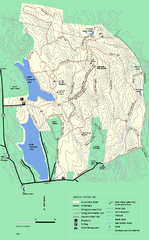
DAR State Forest winter map
Winter use map of the Daughters of the American Revolution State Forest.
271 miles away
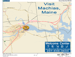
Machias, Maine, USA Map
Maine Coast Welcome Center's local Map of Machias, Me with recommended business locations.
271 miles away
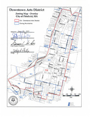
Pittsfield,, Massachusetts City Map
272 miles away
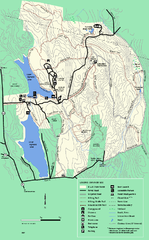
DAR State Forest summer map
Summer use map of the Daughters of the American Revolution state forest.
273 miles away
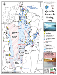
Quabbin Reservoir Fishing Map
Fishing access map of Quabbin Reservoir. Shows all ponds and submerged ponds.
273 miles away
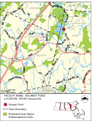
Delaney Conservation Land Map
274 miles away
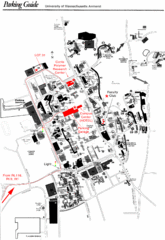
University of Massachusetts Amherst Parking Map
Map of the University of Massachusetts. Includes all buildings, streets, and parking information.
274 miles away
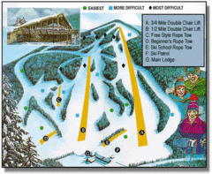
Bousquet Ski Area Ski Trail Map
Trail map from Bousquet Ski Area.
274 miles away
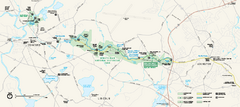
Minute Man National Historical Park Official Map
Official NPS map of Minute Man National Historical Park in Massachusetts. Map shows all areas. The...
275 miles away
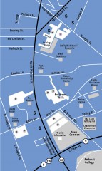
Downtown Amherst, Massachusetts Map
Tourist map of downtown Amherst, Massachusetts, showing attractions, government buildings, atms...
275 miles away
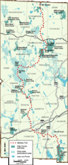
Midstate Trail Map
Map of the Midstate Trail, which runs from Ashburnham to the Rhode Island border. Shows state...
275 miles away

