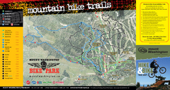
Mt. Washington Resort Summer Mountain Biking Ski...
Trail map from Mt. Washington Resort, which provides downhill and nordic skiing.
91 miles away
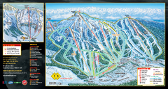
Mt. Washington Resort Ski Trail Map
Trail map from Mt. Washington Resort, which provides downhill and nordic skiing.
91 miles away
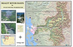
Skagit River Map
Skagit River Basin Overview Map (Pink shading is the FEMA 100 Year Flood)
92 miles away
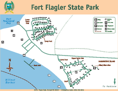
Fort Flagler State Park Map
Map of park with detail of trails and recreation zones
93 miles away
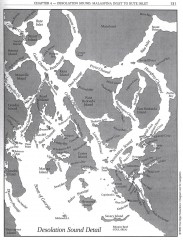
Desolation Sound Detail Map
Shows general geography of Desolation Sound from Malaspina Inlet to Bute Inlet. Shows Cortes Bay...
94 miles away
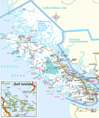
Vancouver Island Park Map
Parks and roads on Vancouver Island.
95 miles away
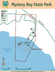
Mystery Bay State Park Map
Map of park with detail of trails and recreation zones
96 miles away
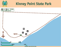
Kinney Point State Park Map
Map of island with detail of trails and recreation zones
96 miles away

Whidbey Island tourist map
Tourist map of Whidbey Island and Coupeville, Washington. Shows all businesses.
97 miles away
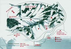
Hurricane Ridge Ski Trail Map
Trail map from Hurricane Ridge.
97 miles away

Arlington and Smokey Point tourist map
Tourist map of Arlington and Smokey Point, Washington. Shows all businesses.
97 miles away
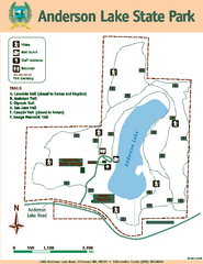
Anderson Lake State Park Map
Map of park and trails
97 miles away
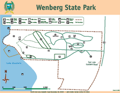
Wenberg State Park Map
Map of park with detail of trails and recreation zones
99 miles away
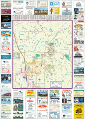
Arlington tourist map
Tourist map of Arlington, Washington. Shows all businesses.
99 miles away
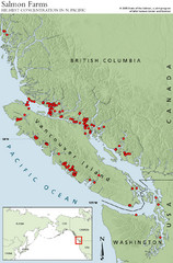
BC Salmon Farms Map
Shows fishfarms in BC around Vancouver Island, highest concentration of fish farms in North Pacific
99 miles away
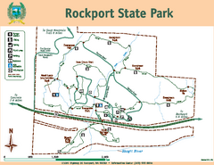
Rockport State Park Map
Map of park with detail of trails and recreation zones
99 miles away
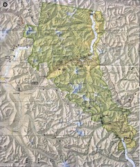
North Cascades National Park Physical Map
National Park
102 miles away

South Whidbey tourist map
Tourist map of South Whidbey, Washington. Shows all businesses.
102 miles away
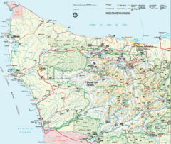
Olympic National Park Map
103 miles away

South Whidbey Island tourist map
Tourist map of South Whidbey Island, Washington. Shows all businesses.
104 miles away
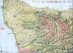
Olympic National Park Map
104 miles away
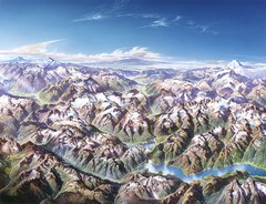
North Cascades National Park Oblique Map
Oblique map looking across Ross Damn, and Diablo Lake towards Seattle
105 miles away
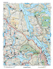
Campbell River Area Map
Vancouver Island, Victoria & Gulf Islands
105 miles away
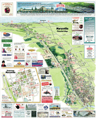
Marysville tourist map
Tourist map of Marysville, Washington. Shows all businesses.
106 miles away
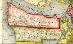
Clallam and Jefferson Counties Washington, 1909...
108 miles away
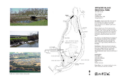
Spencer Island Park map
110 miles away
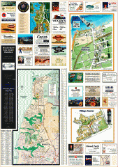
Mukilteo tourist map
Greater Mukilteo, Washington tourist map. Shows all businesses.
110 miles away
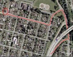
19th and Walnut in Everett, WA Map
110 miles away
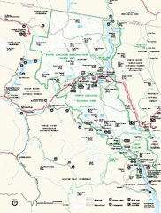
North Cascades National Park map
Official NPS map of North Cascades National Park, Washington. Shows the entire park and...
110 miles away
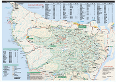
Olympic National Park wilderness campsite map
Official wilderness campsite map of Olympic National Park. Shows roads, trails, visitor...
111 miles away
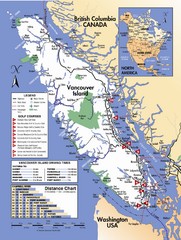
Vancouver Island Road Map
111 miles away

Centennial Trail Map
Centennial Trail has 23 miles completed (Snohomish to Bryant) with more in progress.
111 miles away
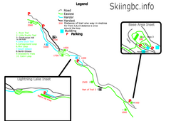
Manning Park Resort 2004–07 Manning Park...
Trail map from Manning Park Resort, which provides downhill and nordic skiing. It has 4 lifts...
112 miles away
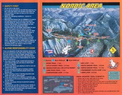
Manning Park Resort 2004–07 Manning Park Cross...
Trail map from Manning Park Resort, which provides downhill and nordic skiing. It has 4 lifts...
112 miles away
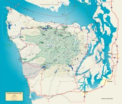
Olympic National Park and Peninsula Map
Guide to the Olympic National Park and surrounding region
112 miles away
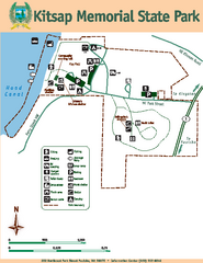
Kitsap Memorial State Park Map
Map of island with detail of trails and recreation zones
113 miles away

Centennial Trail Map
113 miles away
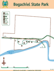
Bogachiel State Park Map
Map of park with detail of trails and recreation zones
113 miles away
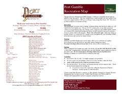
Stottlemeyer trails Map
113 miles away
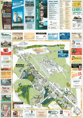
Mukilteo tourist map
Mukilteo, Washington tourist map. Shows all businesses.
113 miles away

