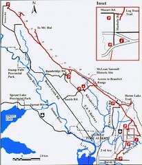
Log Train Trail Map
Trail map of the Log Train Trail near Port Alberni, Vancouver Island
68 miles away
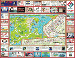
Anacortes tourist map
Tourist map of Anacortes, Washington. Shows recreation and points of interest.
71 miles away
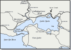
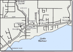
Community of Sooke, British Columbia Map
http://www.sooke.org/maps/map2.htm © Pax Media Inc.
71 miles away
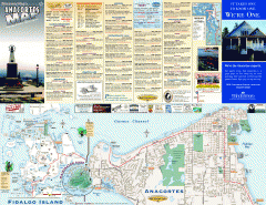
Fidalgo Island tourist map
Tourist map of Fidalgo Island in Anacortes, Washington. Shows recreation and points of interest.
73 miles away
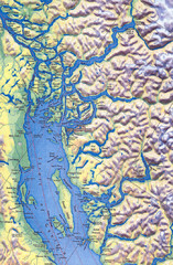
Northern Gulf Map
Map of Northern Gulf Islands
73 miles away

Skagit County Washington, 1909 Map
74 miles away
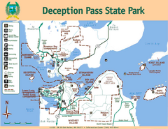
Deception Pass State Park Map
Map of park with detail of trails and recreation zones
75 miles away
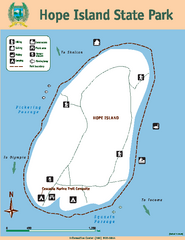
Hope Island State Park Map
Map of park with detail of trails and recreation zones
75 miles away
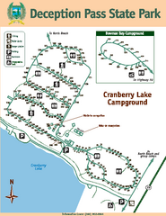
Deception Pass State Park Map
Map of park with detail of trails and recreation zones
75 miles away

West Coast Trail Map
76 miles away
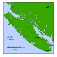
Vancouver Island Overview Map
Town of Parksville highlighted.
79 miles away
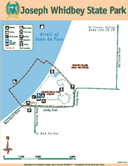
Joseph Whidbey State Park Map
Map of park with detail of trails and recreation zones
79 miles away
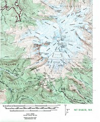
Mt. Baker Topo Map
Topo map of Mt. Baker, Washington, elevation 10,778ft.
81 miles away

Oak Harbor tourist map
Tourist map of Oak Harbor, Washington. Shows all businesses.
82 miles away
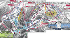
Mt. Baker Ski Area Ski Trail Map
Trail map from Mt. Baker Ski Area, which provides terrain park skiing. It has 10 lifts servicing 38...
83 miles away
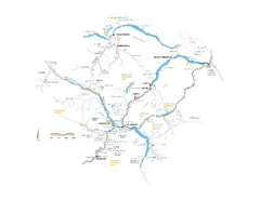
Pemberton Valley Area Parks Map
Area parks map of Pemberton Valley area in BC. Shows peaks and lakes.
84 miles away
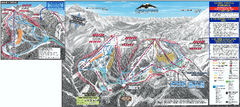
Mt. Baker Ski Trail Map
Official ski trail map of Mount Baker ski area from the 2007-2008 season.
84 miles away
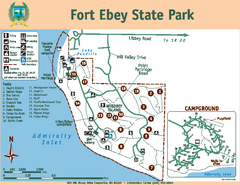
Fort Ebey State Park Map
Map of park with detail of trails and recreation zones
84 miles away
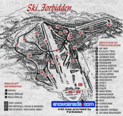
Pre-1999 Forbidden Plateau Map #2
Trail map from Forbidden Plateau.
84 miles away
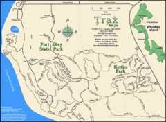
Ft Ebey/Kettle Park Trail Map
Trail map of Fort Ebey Park and Kettle Park, Washington
85 miles away

Coupeville tourist map
Tourist map of Coupeville, Washington. Shows all businesses.
86 miles away
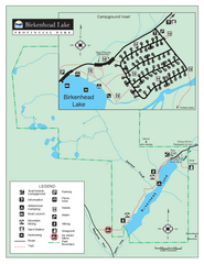
Birkenhead Lake Provincial Park Map
Park map of Birkenhead Lake Provincial Park, BC. Inset of campground
86 miles away
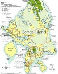
Cortes Island tourist map
Tourist map of Cortes Island in British Columbia, Canada. Shows businesses and roads.
86 miles away
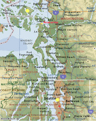
Washington State - West Coast Map
Washington State - West Coast Map
87 miles away
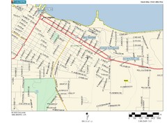
Port Angeles City Map
87 miles away
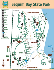
Sequim Bay State Park Map
Map of park with detail of trails and recreation zones
88 miles away
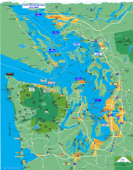
Seattle Ferry Guide Map
Map of ferries around Seattle, Puget Sound and Olympic Peninsula
88 miles away
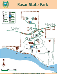
Rasar State Park Map
Map of park with detail of trails and recreation zones
88 miles away
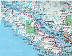
Vancouver Island Road Map
89 miles away
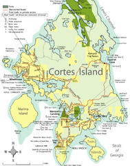
Cortes Island Tourist Map
Places of interest.
89 miles away
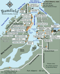
Bamfield Tourist Map
90 miles away
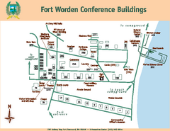
Fort Worden Conference Buildings Map
Map of conference buildings in Fort Worden State Park
90 miles away
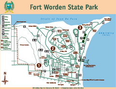
Fort Worden State Park Map
Map of park with detail of trails and recreation zones
90 miles away
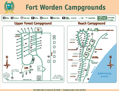
Fort Worden Campgrounds Map
Map of park campgrounds
90 miles away
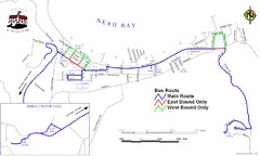
Neah Bay Bus Route Map
91 miles away
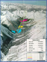
Cayoosh Resort (Melvin Creek) Ski Trail Map
Trail map from Cayoosh Resort (Melvin Creek), which provides downhill skiing.
91 miles away
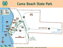
Cama Beach State Park Map
Map of park with detail of trails and recreation zones
91 miles away

