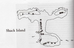
Shack Island Map
Illustration taken from the book "Shack Island" by Ruth English Matson. 2004.
30 miles away
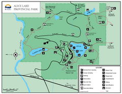
Alice Lake Provincal Park Map
30 miles away
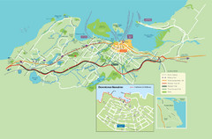
Nanaimo City Map
Map of Nanaimo, BC. Shows trails and parks.
31 miles away
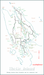
Thetis Island Map
Thetis Island map showing roads, properties, and the community trail.
31 miles away
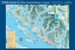
Sunshine Coast Recreation Map
Recreation map of the Sunshine Coast in BC. Shows trails for hiking (in yellow) and mountain...
32 miles away
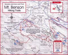
Mt. Benson Hiking Trail Map
Show hiking trails in the Nanaimo and Area Land Trust containing Mt. Benson. Also shows roads and...
36 miles away
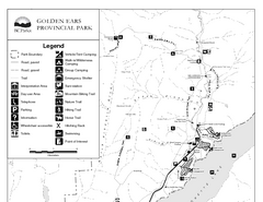
Golden Ears Provincial Park Map
Park map of Golden Ears Provincial Park, BC. 2 pages.
40 miles away
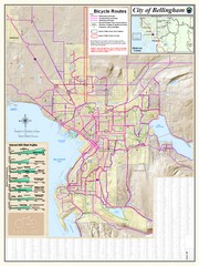
Bellingham, Washington City Map
40 miles away
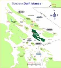
Southern Gulf Islands Map
Map of the region. Shows ferry routes.
41 miles away
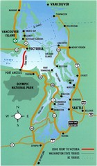
British Columbia, Canada Tourist Map
41 miles away
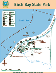
Birch Bay State Park Map
Map of park with detail of trails and recreation zones
42 miles away
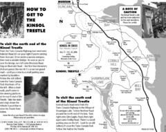
Kinsol Trestle Map
Map of the Kinsol Trestle
49 miles away
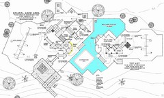
Lynden City Park Map
50 miles away

The Town of Sidney - Parks Map
51 miles away

Creekside Map
Tourist map of Creekside Village
52 miles away
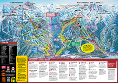
Whistler Blackcomb Trail map 2010-2011
Official ski trail map Whistler Blackcomb for the 2010-2011 season.
52 miles away
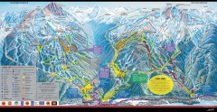
Whistler Blackcomb Ski Trail map 2005-06
Official ski trail map of the Whistler Blackcomb ski area from the 2005-2006 season. Site of the...
52 miles away
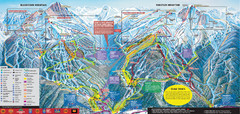
Whistler Blackcomb Ski Trail Map 2007-2008
Official ski trail map of the Whistler Blackcomb ski area from the 2007-2008 season. Site of Alpine...
52 miles away
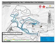
Whistler Olympic Park (Callaghan Nordic Centre...
Trail map from Whistler Olympic Park (Callaghan Nordic Centre), which provides night and nordic...
53 miles away
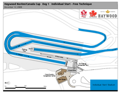
Whistler Olympic Park (Callaghan Nordic Centre...
Trail map from Whistler Olympic Park (Callaghan Nordic Centre), which provides night and nordic...
53 miles away
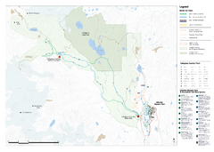
Callaghan Country Nordic Ski Trail Map
Trail map from Callaghan Country, which provides nordic skiing. This ski area opened in 1998, and...
53 miles away
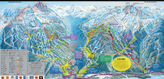
Whistler Blackcomb Ski Resort Map
Ski runs, lifts and amenities on the resort map
53 miles away
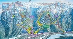
Whistler Blackcomb Trail Map
53 miles away
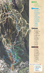
Whistler Blackcomb (Garibaldi Lift Co.) Biking...
Trail map from Whistler Blackcomb (Garibaldi Lift Co.), which provides downhill, night, and terrain...
54 miles away
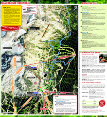
Whistler Blackcomb (Garibaldi Lift Co.) Hiking...
Trail map from Whistler Blackcomb (Garibaldi Lift Co.), which provides downhill, night, and terrain...
54 miles away
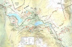
Whistler, CA Hiking and Biking Trails Map
54 miles away
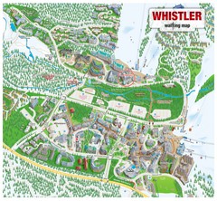
Whistler Village Map
54 miles away
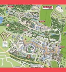
Whistler Village Map
54 miles away
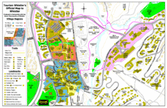
Whistler Village Map
54 miles away
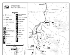
Garibaldi Provincial Park Map
Park map of Garibaldi Provincial Park, BC. 2 pages.
54 miles away
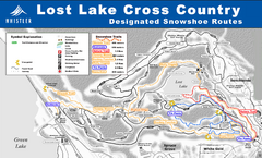
Whistler Cross Country Connection Snowshoeing Ski...
Trail map from Whistler Cross Country Connection.
54 miles away
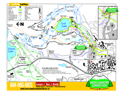
Whistler Cross Country Connection 2006–07...
Trail map from Whistler Cross Country Connection.
54 miles away

rthsaanich.ca District Map
54 miles away
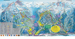
Trail Map Whistler Blackcomb
Map of all trails and ski runs at Whistler and Blackcomb mountains. Includes detailed information...
54 miles away
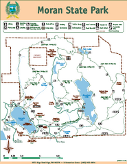
Moran State Park Map
Map of park with detail of trails and recreation zones
55 miles away
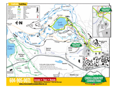
Lost Lake, Whistler Hiking and Biking Trail Map
55 miles away
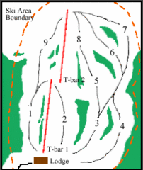
Mount Arrowsmith (Upper) Ski Trail Map
Trail map from Mount Arrowsmith (Upper).
57 miles away
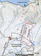
Mt. Arrowsmith Park CPR Historic Trail Map
Trail map of Mt. Arrowsmith Regional Park CPR Historic Trail, Vancouver Island
57 miles away

Orcas tourist map
Tourist map of Orcas, Washington. Shows all businesses.
57 miles away

