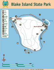
Blake Island State Park Map
Map of park with detail of trails and recreation zones
177 miles away
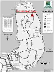
Seward Park Trails Map
Map of the trails in Seward Park, a 300-acre park on a peninsula in the south Seattle, WA area.
177 miles away
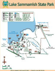
Lake Sammamish State Park Map
Map of island with detail of trails and recreation zones
179 miles away
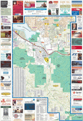
Issaquah tourist map
Issaquah, Washington tourist map. Shows all businesses.
179 miles away
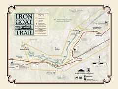
Iron Goat Trail Map
180 miles away
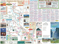
Snoqualmie Valley tourist map
Tourist map of the Snoqualmie Valley, Washington. Shows all businesses.
180 miles away
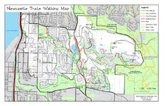
Newcastle Trails Trail Map
Trail map of existing and proposed trails in Newcastle, WA
180 miles away
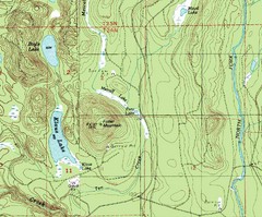
Fuller Mountain Topo Map
Fuller Mountain map with lakes, mountains and elevations identified.
180 miles away
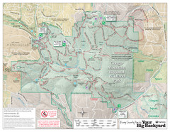
Cougar Mountain Park Trail Map
Trail map of Cougar Mountain Regional Wildland Park, part of the "Issaquah Alps"
180 miles away
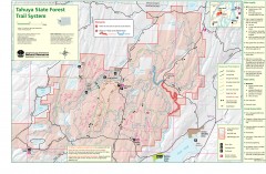
Tahuya State Forest Trail Map
Shows trails of Tahuya State Forest. Show roads, doubletrack, singletrack, and 4WD only.
180 miles away
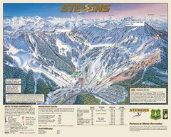
Stevens Pass Trail Map
181 miles away
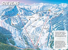
Stevens Pass Ski Area Stevens Pass Mill Valley...
Trail map from Stevens Pass Ski Area, which provides night and terrain park skiing. It has 8 lifts...
181 miles away
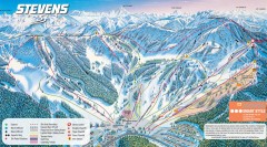
Stevens Pass Ski Trail Map
Official ski trail map of Stevens Pass ski area
181 miles away
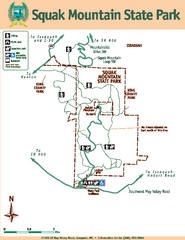
Squak Mountain State Park Map
Map of park with detail of trails and recreation zones
182 miles away
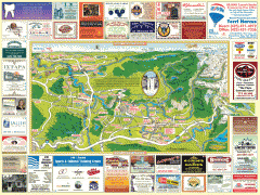
Snoqualmie tourist map
Snoqualmie, Washington tourist map. Shows all businesses.
183 miles away
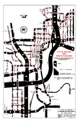
Renton WA Traffic Flow Map
City of Renton, WA traffic flow map
183 miles away
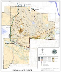
Snoqualmie Trail Map
Shows both soft surface and paved trails for biking, running/hiking/wailking, and horseback riding
183 miles away
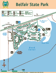
Belfair State Park Map
Map of park, with detail of trails and recreation zones
184 miles away
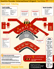
SeaTac Airport Map
185 miles away
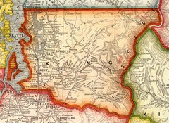
King County Washington, 1909 Map
185 miles away
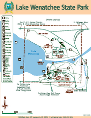
Lake Wenatchee State Park Map
Map of island with detail of trails and recreation zones
185 miles away

Tourist map of Downtown Des Moines, Washington
Tourist map of Downtown Des Moines, Washington. Shows all businesses.
187 miles away

Des Moines Washington tourist map
Tourist map of Des Moines, Washington, including Kent and SeaTac airport.
187 miles away
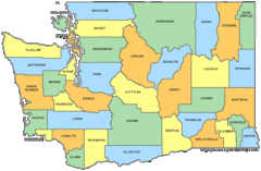
Washington State Counties Map
188 miles away
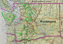
Washington State Road and Recreation Map
188 miles away
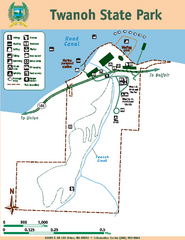
Twanoh State Park Map
Map of park with detail of trails and recreation zones
188 miles away

Kettle Valley Trails Map
Map of Kettle Valley Trails. Includes all trails, streets, and attractions.
188 miles away
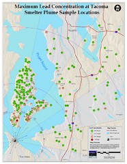
Tacoma Lead Concentration Map
A map of maximum lead concentrations near Tacoma.
188 miles away
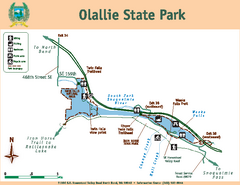
Olallie State Park Map
Map of park with detail of trails and recreation zones
191 miles away
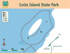
Cutts Island Stay Park Map
Map of park with detail of trails and recreation zones
192 miles away
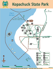
Kopachuck State Park Map
Map of island with detail of trails and recreation zones
193 miles away
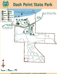
Dash Point State Park Map
Map of park with detail of trails and recreation zones
193 miles away
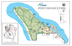
Point Defiance Park Map
193 miles away
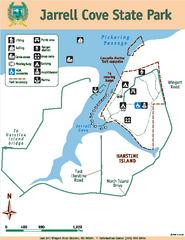
Jarrell Cove State Park Map
Map of park with detail of trails and recreation zones
194 miles away
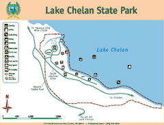
Lake Chelan State Park Map
Map of island with detail of trails and recreation zones
195 miles away
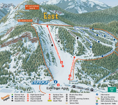
The Summit at Snoqualmie Summit East Ski Trail Map
Trail map from The Summit at Snoqualmie, which provides night and terrain park skiing. It has 30...
196 miles away
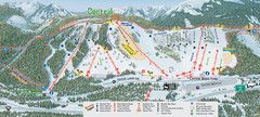
The Summit at Snoqualmie Summit Central Ski Trail...
Trail map from The Summit at Snoqualmie, which provides night and terrain park skiing. It has 30...
196 miles away
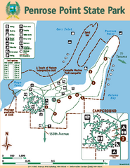
Penrose Point State Park Map
Map of park with detail of trails and recreation zones
196 miles away
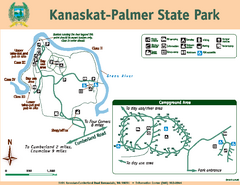
Kanaskat-Palmer State Park Map
Map of park with detail of trails and recreation zones
196 miles away
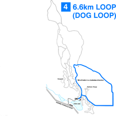
Hallis Lake Dog Loop Ski Trail Map
Trail map from Hallis Lake, which provides night and nordic skiing. This ski area has its own...
197 miles away

