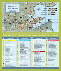
Bownen Island Tourist Map
54 miles away

Bowen Island 3D Aerial Map
3d aerial map of Bowen Island, BC
54 miles away
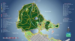
Stanley Park Map
56 miles away
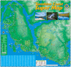
Sunshine Coast Super Map
Sunshine Coast Super Map Poster. 44" X 42". Also Available in folded version.
56 miles away
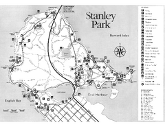
Stanley Park Trail Map
Trail map of Stanley Park near downtown Vancouver, BC. Shows monuments.
56 miles away
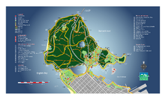
Stanley Park Map
Overview trail map of Stanley Park in Vancouver, BC.
56 miles away
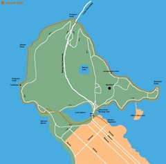
Stanley Park Map
56 miles away
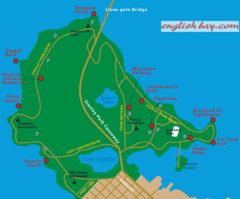
Stanely Park Map
56 miles away
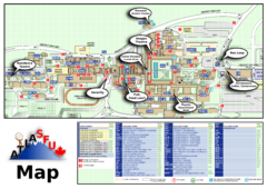
Simon Fraser University Campus Map
Simon Fraser University Campus Map includes the location of all buildings, bus stops, emergency...
56 miles away
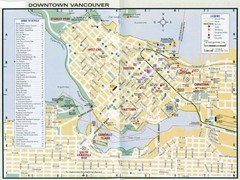
Vancouver Map
56 miles away
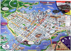
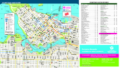
Vancouver Downtown Map
Panoramic tourist map of downtown Vancouver, BC. Shows major buildings in 3D.
57 miles away
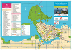
Map of Greater Vancouver
Tourism Vancouver's official map of Greater Vancouver. Shows accomodations, attractions...
57 miles away
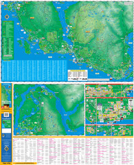
Folded Sunshine Coast Super Map
Folded Sunshine Coast Super Map
57 miles away
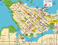
Vancouver Downtown Map
Detailed street map of Downtown Vancouver
57 miles away
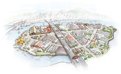
Granville Island Map
58 miles away
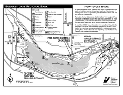
Burnaby Lake Park Trail Map
Trail map of Burnaby Lake Park in Vancouver, BC
59 miles away
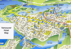
Vancouver Hotels Map
59 miles away
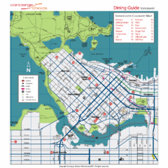
Downtown Vancouver Map
59 miles away
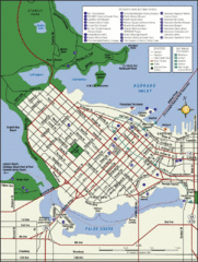
Vancouver Map
Street map of Vancouver
59 miles away
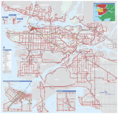
Vancouver Regional Transportation System Map
59 miles away
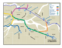
Highway 1 Rapid Bus Service Map
59 miles away
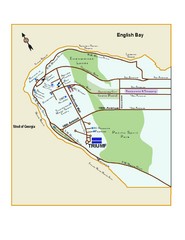
Downtown Vancouver Map
60 miles away
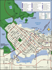
Vancouver Tourist Map
Tourist map of downtown Vancouver
60 miles away
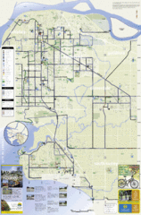
Bicycle Friendly Route Map
61 miles away
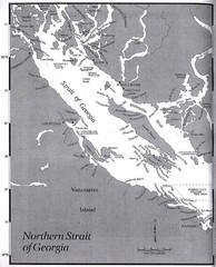
Northern Strait of Georgia Map
61 miles away
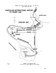
Vancouver Locational Map
Visitor Information Map includes directions from the Vancouver International Airport to the...
61 miles away
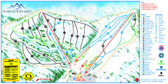
Hemlock Resort Ski Trail Map
Trail map from Hemlock Resort, which provides downhill and terrain park skiing. It has 4 lifts...
64 miles away
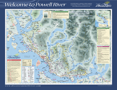
Upper Sunshine Coast Recreation Map
Recreation map of Upper Sunshine Coast in BC. Shows hiking trails, kayaking and canoeing routes...
67 miles away
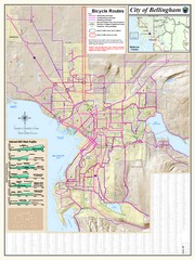
Bellingham, Washington City Map
78 miles away
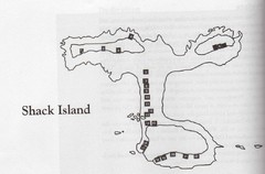
Shack Island Map
Illustration taken from the book "Shack Island" by Ruth English Matson. 2004.
78 miles away
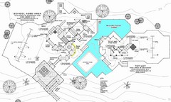
Lynden City Park Map
81 miles away
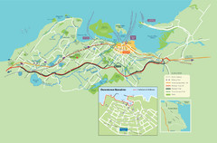
Nanaimo City Map
Map of Nanaimo, BC. Shows trails and parks.
81 miles away
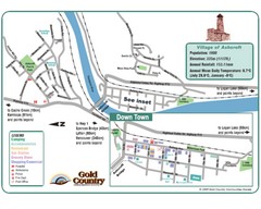
Ashcroft Map
Map of Ashcroft, includes all streets, highways, accommodations and attractions.
82 miles away
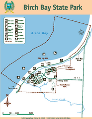
Birch Bay State Park Map
Map of park with detail of trails and recreation zones
82 miles away
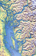
Northern Gulf Map
Map of Northern Gulf Islands
84 miles away
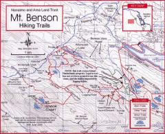
Mt. Benson Hiking Trail Map
Show hiking trails in the Nanaimo and Area Land Trust containing Mt. Benson. Also shows roads and...
84 miles away
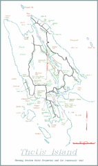
Thetis Island Map
Thetis Island map showing roads, properties, and the community trail.
85 miles away
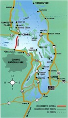
British Columbia, Canada Tourist Map
89 miles away


