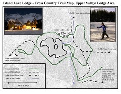
Island Lake Lodge Ski Trail Map
Trail map from Island Lake Lodge, which provides nordic skiing. This ski area has its own website.
344 miles away
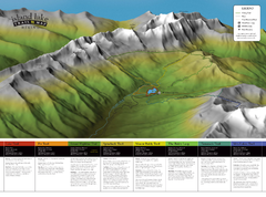
Island Lake Hiking Map
Hiking trail map of Island Lake area near Fernie, BC
344 miles away
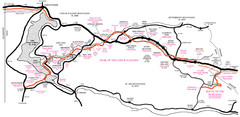
Trail of the Coeur d'Alenes Map
Shows the Trail of the Coeur d'Alenes, a 72 mile bike path that follows the Union Pacific...
346 miles away
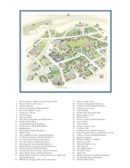
Whitman College Campus Map
Campus map of Whitman College in Walla Walla, WA
347 miles away
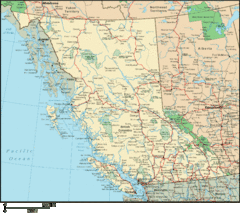
British Columbia Map
Detailed British Columbia Map
347 miles away
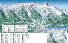
Fernie Alpine Trail Map
Ski trail map
348 miles away
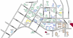
Washington State University's Greek Row Map
Map of WSU's fraternities and sororities
348 miles away
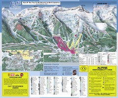
Fernie Ski Trail Map
Official ski trail map of Fernie ski area from the 2007-2008 season.
348 miles away

Pullman Parks Trail Map
Trails and pathways map
349 miles away
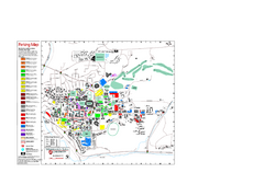
Washington State University Map
Washington State University Campus Map. All buildings shown.
349 miles away
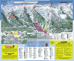
Fernie Alpine Resort Ski Trail Map
Trail map from Fernie Alpine Resort, which provides downhill and nordic skiing. This ski area has...
349 miles away
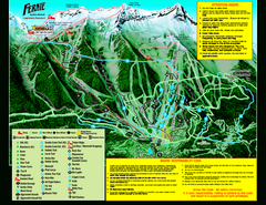
Fernie Alpine Resort 2007 Fernie Summer Map
Trail map from Fernie Alpine Resort, which provides downhill and nordic skiing. This ski area has...
349 miles away
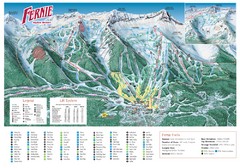
Fernie Mountain Trail Map
349 miles away
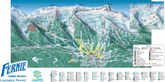
Fernie Mountain Trail Map
349 miles away
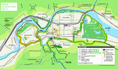
Fernie Town Trails Map
Trail map of recreational trails in and around town of Fernie, BC
349 miles away
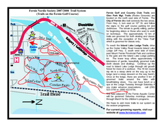
Fernie Golf Course Ski Trail Map
Trail map from Fernie Golf Course, which provides nordic skiing. This ski area has its own website.
350 miles away
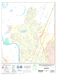
Keizer Oregon Road Map
353 miles away
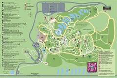
Oregon Garden Map
Map and key marking trails and more in this amazing garden.
353 miles away
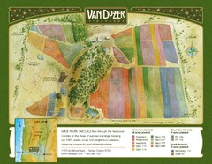
Van Duzer Vineyard Map
"A colorful vineyard map that shows the location of Van Duzer’s numerous grape varietals...
354 miles away
Silver Mountain Resort Ski Trail Map
Trail map from Silver Mountain Resort, which provides downhill, night, and terrain park skiing. It...
355 miles away
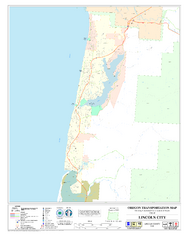
Lincoln City Oregon Road Map
359 miles away
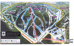
Bluewood Ski Trail Map
360 miles away
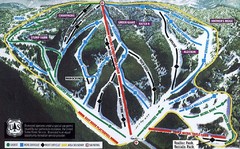
Bluewood Ski Trail Map
Trail map from Bluewood, which provides downhill, nordic, and terrain park skiing. It has 3 lifts...
361 miles away

Independence Oregon Road Map
363 miles away
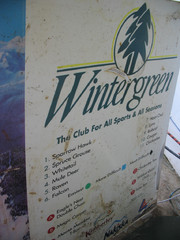
2001 Wintergreen Downhill Map Part 2
Trail map from Wintergreen.
368 miles away
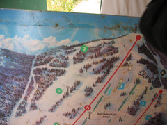
2001 Wintergreen Downhill Map Part 1
Trail map from Wintergreen.
368 miles away
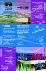
Bulkley Valley Ski Trail Map
Trail map from Bulkley Valley, which provides night and nordic skiing. This ski area has its own...
370 miles away
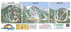
Lookout Pass Ski Trail Map
Official ski trail map of Lookout Pass ski area from the 2007-2008 season. Shows Montana, Idaho...
373 miles away
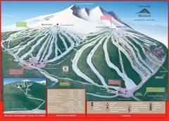
Ski Smithers Ski Trail Map
Trail map from Ski Smithers, which provides downhill and terrain park skiing. It has 3 lifts...
374 miles away
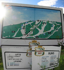
Silver Summit Ski Trail Map
Trail map from Silver Summit, which provides downhill and nordic skiing. This ski area has its own...
375 miles away
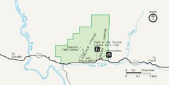
Clarno Unit John Day Fossils Beds National...
375 miles away
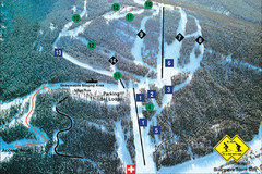
Pass Powderkeg Ski Trail Map
Trail map from Pass Powderkeg, which provides downhill skiing. This ski area has its own website.
375 miles away
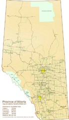
Alberta Tourist Map
Cities and areas in Alberta, Canada
376 miles away
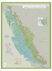
BC and Alaska Coastal Forest and Mountains Map
Relief map of coastal forest and mountains of southeast Alaska and British Columbia
378 miles away
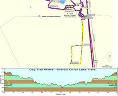
Onion Lake Dog Ski Trail Map
Trail map from Onion Lake, which provides nordic skiing. This ski area has its own website.
378 miles away
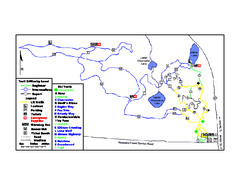
Onion Lake Ski Trail Map
Trail map from Onion Lake, which provides nordic skiing. This ski area has its own website.
378 miles away
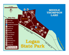
Logan State Park Map
With frontage on the north shore of Middle Thompson Lake, Logan is heavily forested with western...
378 miles away

