Rotary Trail Map
271 miles away
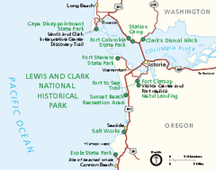
Lewis & Clark National Historic Trail...
Official NPS map of Lewis & Clark National Historic Trail in Oregon-Washington. Shows all areas...
271 miles away
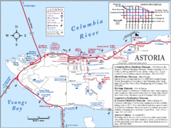
Astoria Oregon Map
A detailed topographic map of Astoria, Oregon and the Columbia River.
274 miles away
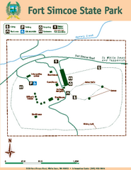
Fort Simcoe State Park Map
Map of park with detail of trails and recreation zones
275 miles away
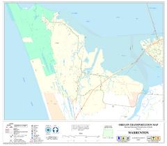
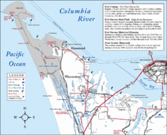
Warrenton Oregon Road Map
276 miles away
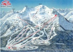
Jasper’s Marmot Basin Future Lift for Ski Trail...
Trail map from Jasper’s Marmot Basin, which provides downhill skiing. This ski area has its own...
278 miles away
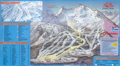
Jasper’s Marmot Basin Ski Trail Map
Trail map from Jasper’s Marmot Basin, which provides downhill skiing. This ski area has its own...
278 miles away
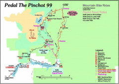
Pedal the Pinchot Bike Ride Route Map
Route Map for the Pedal the Pinchot 99 bike ride - annotated on a Park trail map.
280 miles away
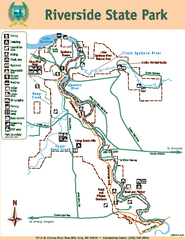
Riverside State Park Map
Map of park with detail of trails and recreation zones
289 miles away
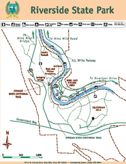
Riverside State Park Map
Map of park with detail of trails and recreation zones
289 miles away
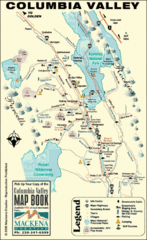
Columbia Valley Map
Easy to follow map and legend of this wilderness area.
290 miles away
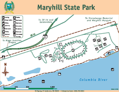
Maryhill State Park Map
Map of park with detail of trails and recreation zones
292 miles away
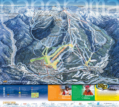
Panorama Mountain Village Ski Trail Map
Trail map from Panorama Mountain Village.
293 miles away
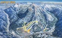
Panorama Ski Trail Map
Official ski trail map of Panorama ski area from the 2006-2007 season.
293 miles away

Panorama Trail Map
Ski trail map
293 miles away
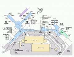
Spokane International Airport Terminal Map
Official Map of Spokane International Airport in Washington state. Shows all terminals.
295 miles away
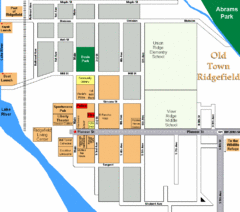
Guide Map of Old Town Ridgefield
Guide Map of Old Town Ridgefield, Washington
296 miles away
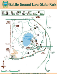
Battle Ground Lake State Park Map
Map of park with detail of trails and recreation zones
297 miles away

BANKS-VERNONIA STATE TRAIL Map
298 miles away
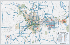
Spokane, Washington Bike Map
298 miles away
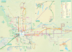
Spokane Guide Map
Roads and areas in and around Spokane, Washington
299 miles away
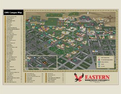
Eastern Washington University Campus Map
Campus map of Eastern Washington University in Cheney, Washington
299 miles away
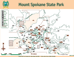
Mount Spokane State Park Map
Map of park with detail of trails and recreation zones
299 miles away
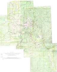
Mount Spokane Trail Map
Contour map of Mount Spokane
300 miles away
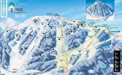
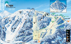
Mt. Spokane Ski Trail Map
Official ski trail map of Mount Spokane ski area from the 2006-2007 season.
300 miles away
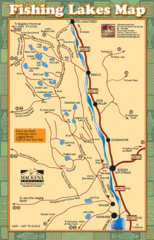
Radium Hot Springs Fishing Map
Beautiful map of the many fishing spots at this amazing site.
301 miles away
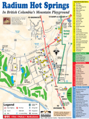
Radium Hot Springs Map
An easy to read map of this amazing hot springs area.
301 miles away
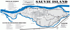
Sauvie Island tourist map
Tourist map of Sauvie Island in Oregon. Shows all businesses and points of interest.
301 miles away
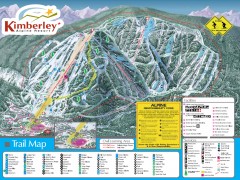
Kimberley Ski Trail Map
Official ski trail map of Kimberley ski area from the 2007-2008 season.
304 miles away
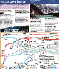
Lake Louise Area Map
Map of Lake Louise with detail of trails and recreation zones
305 miles away
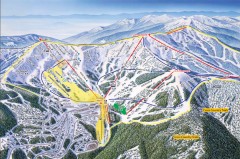
Schweitzer Ski Trail Map - Front
Official ski trail map of front side of Schweitzer ski area from the 2007-2008 season.
305 miles away
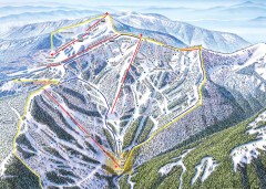
Schweitzer Ski Trail Map - Outback Bowl
Official ski trail map of back side of Schweitzer ski area from the 2007-2008 season.
305 miles away
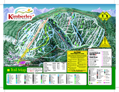
Kimberley Alpine Resort Ski Trail Map
Trail map from Kimberley Alpine Resort.
305 miles away
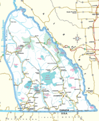
Kootenay Mountains Map
306 miles away
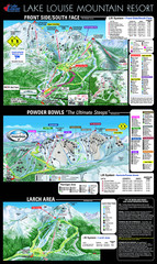
Lake Louise Trail Map
Ski area trail map for Lake Louise Mountain
306 miles away
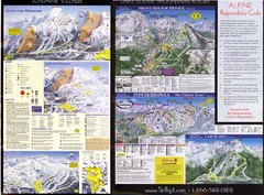
2007–08 2007–08 Ski Big 3 Side 2 (Lake Louise...
Trail map from Lake Louise, which provides downhill skiing. This ski area has its own website.
306 miles away
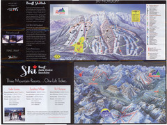
Lake Louise 2007–08 Ski Big 3 Side 1 (3...
Trail map from Lake Louise, which provides downhill skiing. This ski area has its own website.
306 miles away

