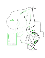
Providence Canyon State Park Map
Map of park with detail of trails and recreation zones
121 miles away
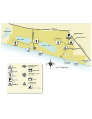
Topsail Hill Preserve State Park Map
Map of park with detail of recreation zones
124 miles away
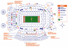
Ben Hill Griffin Stadium Map
Clear map and legend of this stadium.
124 miles away

University of Florida Map
124 miles away
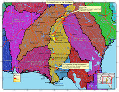
Drainage Basins of the Southeast United States Map
Lakes, rivers and dams in the Apalachicola, Chattahoochee and Flint River System.
125 miles away
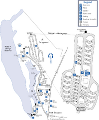
Florence Marina State Park Map
Map of park with detail of trails and recreation zones
126 miles away
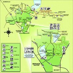
Paynes Prairie State Preserve Map
Map of preserve with detail of trails and recreation zones
128 miles away
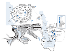
Laura S. Walker State Park Map
Map of park with detail of trails and recreation zones
130 miles away
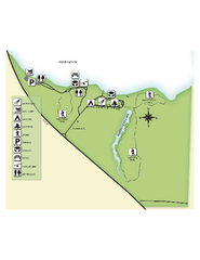
Fred Gannon Rocky Bayou State Park Map
Map of park with detail of trails and recreation zones
131 miles away
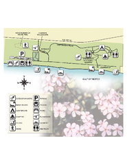
Henderson State Park Map
Map of park with detail of trails and recreation zones
132 miles away
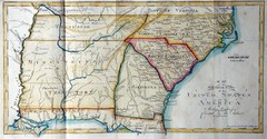
Southern Parts of the US Map
"This map was initially published in Morse's American Gazetteer in 1797 with Georgia...
140 miles away
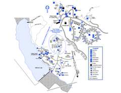
Little Ocmulgee State Park Map
Map of park with detail of trails and recreation zones
141 miles away
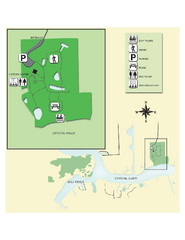
Crystal River Archeological State Park Map
Map of park with detail of trails and recreation zones
141 miles away
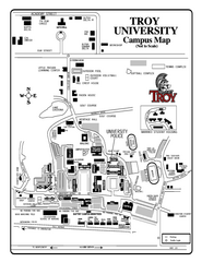
Troy University Map
Campus map of Troy University Troy campus. All areas shown.
141 miles away
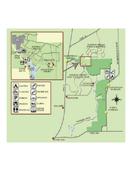
Rainbow Springs State Park Map
Map of park with detail of recreation zones
141 miles away
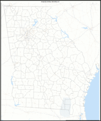
Georgia Zip Code Map
Check out this Zip code map and every other state and county zip code map zipcodeguy.com.
143 miles away
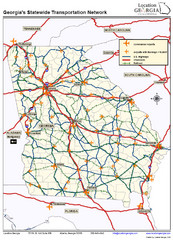
Georgia Transportation Map
144 miles away
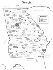
Georgia Tourist Map
144 miles away
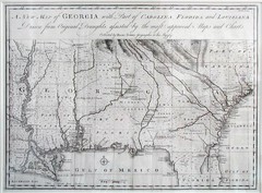
Georgia Map
Map of Georgia circa 1748. Includes Georgia and parts of the Carolinas, Florida and Louisiana.
144 miles away
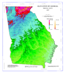
Map of Georgia Elevations
Digital elevation map of Georgia, U.S.
144 miles away
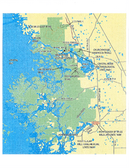
Crystal River Preserve State Park Map
Map of park with detail of recreation zones
144 miles away
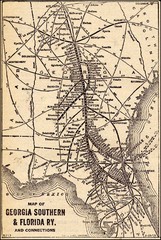
1913 Georgia Southern & Florida Railway Map
148 miles away
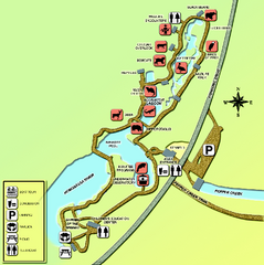
Homosassa Springs Wildlife State Park map
Map of park with detail of trails and recreation zones
149 miles away
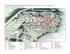
Florida International University at Biscayne...
149 miles away

Citrus County, Florida Map
Tourist map of Citrus County, Florida. Shows parks, trails, museums, and other points of interest.
150 miles away
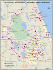
Jacksonville, Florida City Map
153 miles away
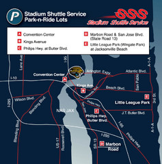
Stadium Shuttle Service Map
153 miles away
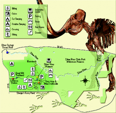
Silver River State Park Map
Map of park with detail of trails and recreation zones
156 miles away
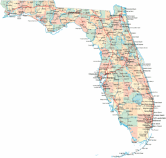
Florida Road Map
158 miles away
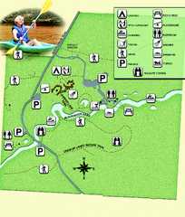
Blackwater River State Park Map
Map of park with detail of various recreation zones
159 miles away
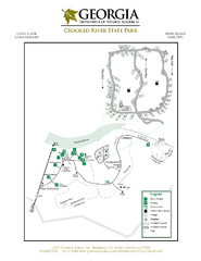
Crooked River State Park Map
Map of park with detail of trails and recreation zones
162 miles away
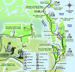
Jacksonville Area Florida State Parks Map
Overview map of Florida State Parks near Jacksonville, Florida. Shows Pumpkin Hill Creek Preserve...
162 miles away
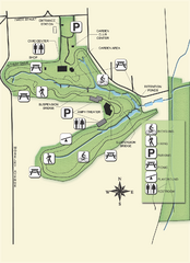
Ravine Gardens State Park Map
Map of park with detail of trails and recreation zones
164 miles away
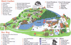
Weeki Wachee Springs State Park Map
Map of park
164 miles away
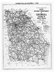
Georgia 1939 Road Map
State Road Map of Georgia in 1939
167 miles away
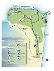
Fort Clinch State Park Map
Park map of Fort Clinch State Park in Amelia Island, Florida. Shows fort historic site, facilities...
167 miles away
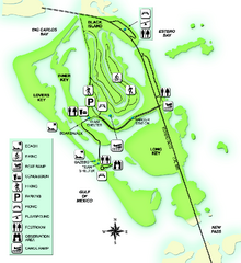
Lovers Key State Park Map
Map of park with detail of trails and recreation zones
167 miles away
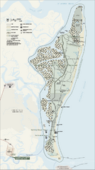
Cumberland Island National Seashore Map
Official NPS map of Cumberland Island National Seashore, Cumberland Island, Georgia. Rated #4...
167 miles away
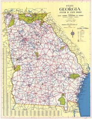
Georgia Road Map
Road map of state of Georgia, 1952
169 miles away
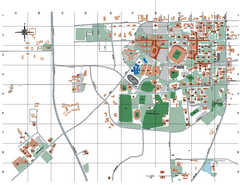
Auburn University Map
169 miles away

