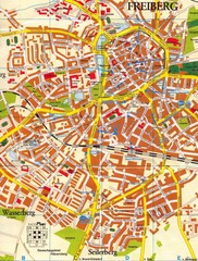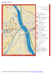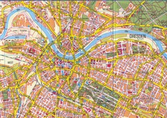
Drezden Map
229 miles away
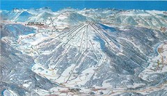
Plan de Corones Ski Trail Map
Trail map from Plan de Corones.
230 miles away
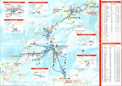
Plande Corones Ski Trail Map
231 miles away
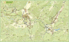
Nature Fitness Park in Kronplatz Dolomiti Map
Panoramic map of Nature Fitness Park in Dolomites. The park is very well signposted and its trails...
231 miles away
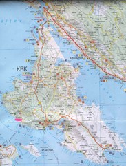
Krk Tourist Map
Tourist map of island of Krk, Croatia. Second biggest island in Croatia
231 miles away
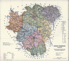
1910 Hungarian Map
Guide to historic Hungary, current Slovakia
232 miles away

Umag Tourist Map
Tourist map of Umag, Croatia. Shows restaurants and lodging.
235 miles away
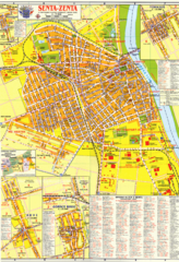
Zenta Map
235 miles away
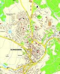
Schneeberg Map
Street map of city of Schneeberg
236 miles away
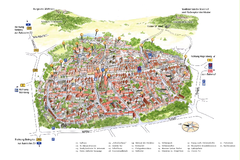
Neumarkt in der Oberpfalz Map
Tourist map of city center of Neumarkt in der Oberpfalz, Germany. In German
236 miles away
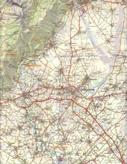
Northern Italy Tourist Map
Pordenone, Coltura, Polcenigo, Italy
236 miles away
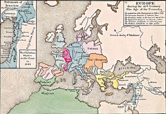
Old Map of Europe - 12th century
236 miles away
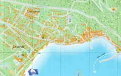
Baska Krk Tourist Map
Tourist map of Baska Krk, Croatia. Scanned.
237 miles away

Bács Map
237 miles away

bibione Map
237 miles away
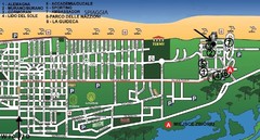
bibione - lido del sole Map
bibione & bibione lido del sole
238 miles away
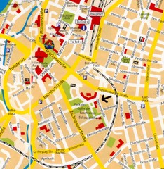
Chemnitz Center Map
Street map of Chemnitz center
238 miles away
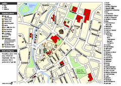
Chemnitz Tourist Map
Tourist map of Chemnitz city center
239 miles away
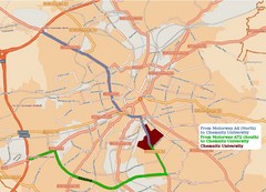
Chemnitz University Location Map
Location of Chemnitz University
239 miles away
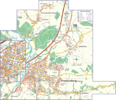
Frankenberg Map
Street map of Frankenberg and surrounding region
240 miles away
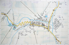
Corvara Town Map
Tourist map of Corvara, Italy in the Dolomites. From photo of sign
240 miles away
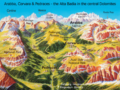
Arabba Corvara Pedraces Summer Map
Summer map of Alta Badia region in Italian Dolomites
240 miles away
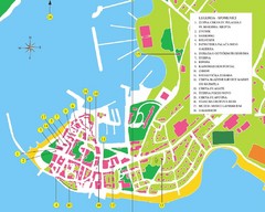
Novigrad Tourist Map
Tourist map of Novigrad, Croatia. Shows points of interest.
240 miles away
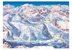
Alta Badia Alta Badia Ski Trail Map
Trail map from Alta Badia, which provides downhill skiing. This ski area has its own website.
240 miles away
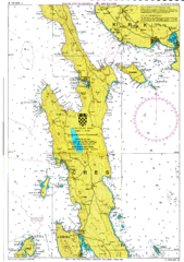
Cres hajózási Map
241 miles away
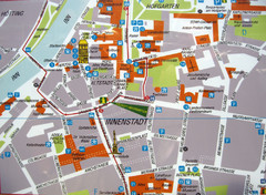
Innsbruck Tourist Map
Tourist map of inner Innsbruck, Austria. Photo of outdoor map.
241 miles away
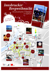
Innsbruck Christmas Markets Map
Christmas market map of Innsbruck, Austria.
241 miles away
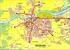
Neuburg an der Donau Map
Street map of Neuburg an der Donau
241 miles away
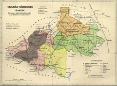
Csanád vármegye Map
241 miles away
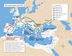
Germanic Invasions Map 378-439
Shows the breakdown of the Roman frontier in the late 4th and early 5th centuries.
241 miles away
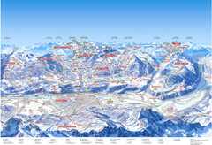
Innsbruck Region Ski Map
Shows ski regions around Innsbruck, Austria
241 miles away
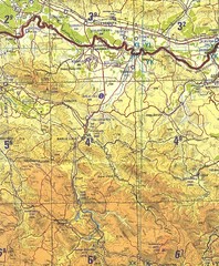
Banja Luka Region Map
241 miles away
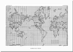
World Music Map
A world map made out of musical notation.
242 miles away
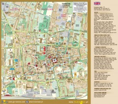
Tarnow Tourist Map
Tourist map of the center of Tarnow, Poland
243 miles away
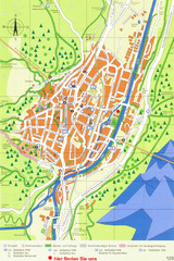
Mittenwald Tourist Map
Tourist street map
243 miles away
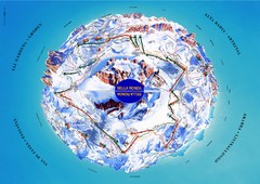
Sella Ronda Ski Tour Map
Shows ski mountaineering tour of Sella Ronda, a circular ski route leading around the mighty Sella...
243 miles away
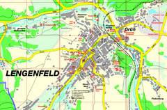
Lengenfeld Map
Street map of Lengenfeld
243 miles away
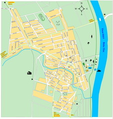
Ada város Map
243 miles away

