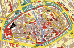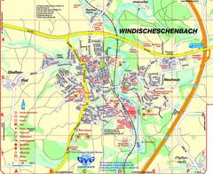
Windischeschenbach Tourist Map
Tourist street map of Windischeschenbach
221 miles away
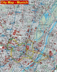
Munich City Map
City map of Munich, Germany
221 miles away
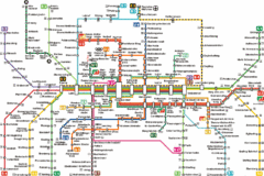
Munich Metro Map
Metro map of Munich, Germany. In German.
221 miles away
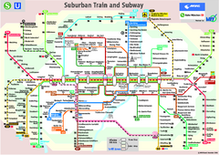
Munich public transportation system Map
This MVV network map, probably the best known one, shows all lines and stops for the urban rail and...
221 miles away
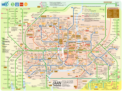
Munich Public Transportation Map
221 miles away
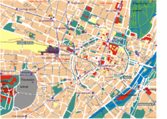
Munich Tourist Map
Tourist map of central Munich (München), Germany.
221 miles away
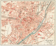
Munich Map
221 miles away
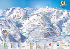
Mayrhofen Ski Trail Map
Trail map from Mayrhofen.
222 miles away
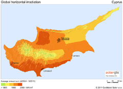
Solar Radiation Map of Cyprus
Solar Radiation Map Based on high resolution Solar Radiation Database: SolarGIS. On the Solar Map...
222 miles away
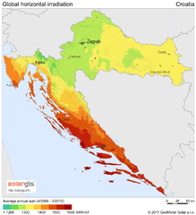
Solar Radiation Map of Croatia
Solar Radiation Map Based on high resolution Solar Radiation Database: SolarGIS. On the Solar Map...
222 miles away
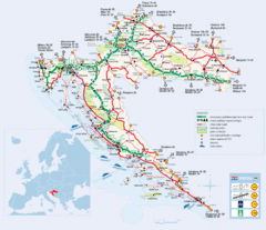
Coratia Tourist Map
Map of Croatia showing roads, international border crossings, parks, airports and ferrys.
222 miles away
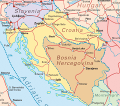
Interrail Routes for Croatia Map
Interrail railway routes for Croatia, Bosnia Hercegovina, Slovenia, and Hungary.
222 miles away
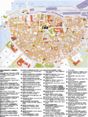
Koper Tourist Map
Tourist map of Koper, Slovenia. Shows 55 tourist sights.
223 miles away
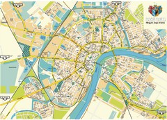
Szeged Map
Map of central Szeged, Hungary
223 miles away
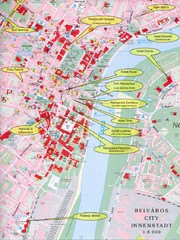
Szeged Tourist Map
Tourist map of central Szeged, Hungary. Shows points of interest.
223 miles away
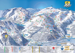
Mayrhofen Ski Trail Map
Ski trail map of Mayrhofen ski area in Austria.
223 miles away
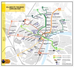
Szeged Public Transportation Map (Hungarian)
223 miles away
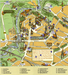
Bautzen Tourist Map
Tourist map of Bautzen town center
223 miles away
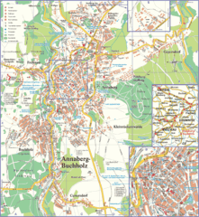
Annaberg-Buchholz Tourist Map
Tourist map of Annaberg-Buchholz region
224 miles away

Slavonski Brod Tourist Map
Map of Slavonski Brod, Croatia showing streets, hotels, restaurants and tourist attractions.
225 miles away
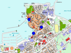
Izola Slovenia Parking map
Parking places in Izola (blue sign - payable parking, white sign - free parking).
225 miles away
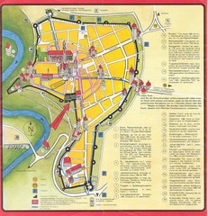
Rothenburg Tourist Map
Tourist map of town of Rothenburg
225 miles away
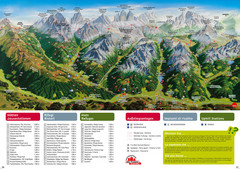
Alta Pusteria Summer Map
Panoramic summer hiking map of the Alta Pusteria, Italy, in the South Tyrol. Shows towns...
226 miles away

Bácstopolya Map
226 miles away

Danube River Basin by Maps Illustrated Map
Map from Diplomat magazine from an article on the economic region based on the Danube Basin
226 miles away

Novi Vinodolski Street Map
Street map of Novi Vinodolski, Croatia. Scanned.
226 miles away
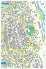
Kosice Tourist Map
Tourist map of Kosice, Slovakia. Shows points of interest.
227 miles away
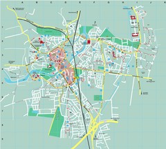
Dachau City Map
City street map of Dachau
227 miles away
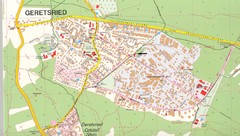
Geretsried Map
Street map of Geretsried
228 miles away
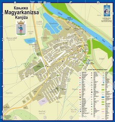
Kanizsa City Map
City map of Kanjiza, Serbia. Shows businesses.
228 miles away
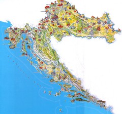
Tourist Map of Croatia
228 miles away
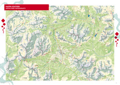
Cortina d'Ampezzo Hiking Map
Summer hiking map of the Cortina d'Ampezzo, Italy area in the heart of the Dolomite Mountains...
228 miles away
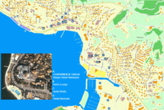
Portorož Lodging Map
229 miles away

Bács-Bodrog vármegye Map
229 miles away
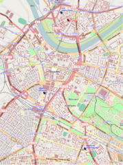
Dresden, Germany Tourist Map
Hotels in Dresden, Germany
229 miles away
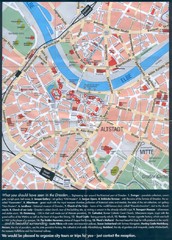
Dresden Tourist Map
Tourist map of center of Dresden, Germany. Shows major tourist attractions.
229 miles away
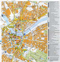
Drezden Center Map
229 miles away

