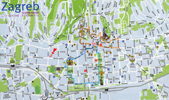
Zagreb Croatia Tourist Map
Zagreb City Centre Tourist map showing tourist attractions, hotels, tourist information and city...
167 miles away
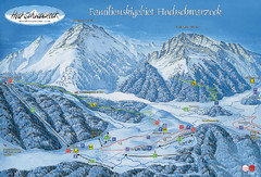
Berchtesgadener Land Ski Trail Map
Trail map from Berchtesgadener Land.
168 miles away
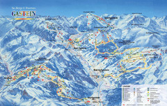
Gastein Ski Trail Map
Ski trail map of the Gastein Valley in Austria. Shows lift systems from Bad Gastein, Bad...
169 miles away
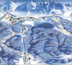
Arnoldstein—Dreiländereck Ski Trail Map
Trail map from Arnoldstein—Dreiländereck, which provides downhill skiing. It has 8 lifts. This...
170 miles away
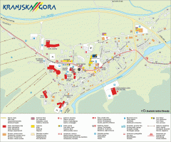
Kranjska Gora town map
Blurb from town website: The Zgornjesavska Valley is one of the most breathtaking alpine valleys...
170 miles away
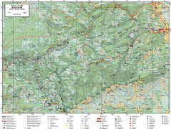
Samobor Region Cycling Route Map
Cycling route map for region west of Samobor, Croatia. Shows all routes in km
170 miles away
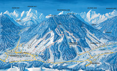
Kranjska Gora Ski Trail Map
Ski trail map of Kranjska Gora ski area.
171 miles away
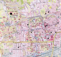
Pecs City Map
171 miles away
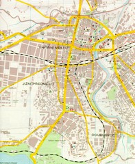
Plzen City Map
City map of Plzen, Czech Republic. Scanned.
173 miles away
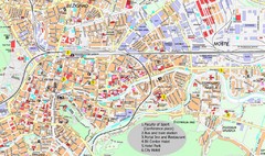
Ljubljana City Map
City map of Ljubljana, Slovenia. Shows some points of interest.
173 miles away
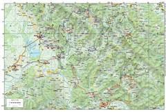
Bike Route starting in Ivanić-Grad Map
Bike route and trails through the cradle of Croatia’s oil drilling industry and the wondrous...
173 miles away
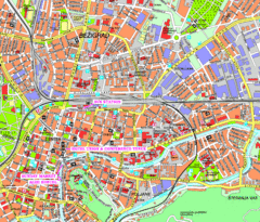
Ljubljana Tourist Map
Tourist map of central Ljubljana, Slovenia.
173 miles away
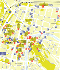
Ljubljana Slovenia Tourist Map
Tourist Map of Ljubljana Slovenia showing sites and roads of the city.
173 miles away
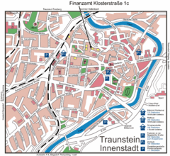
Traunstein Map
Street map of Traunstein
174 miles away
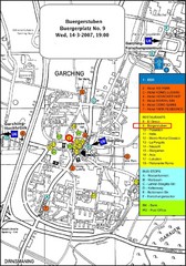
Map of the city of Garching, Germany
General visitor information including the locations of restaurants, hotels, bus stops and more.
175 miles away
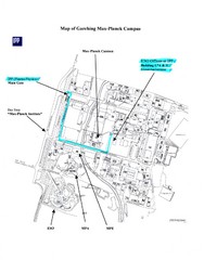
Garching Max-Planck Campus Map
Map of the Max-Planch Campus in Garching, Germany. Includes information on Accommodation and...
175 miles away
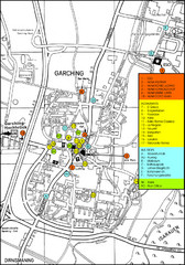
Garching Map
Map of Garching, a suburb to the north of Munich, with hotels, restaurants and bus stops marked.
175 miles away
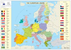
European Union Member States Map
Shows all member states and years joined. Also shows candidate states.
176 miles away
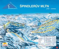
Špindlerův Mlýn Ski Trail Map
Trail map from Špindlerův Mlýn.
177 miles away
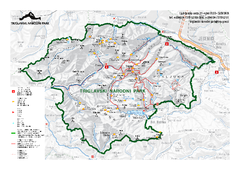
Triglav National Park Map
Triglav National Park is the only Slovenian national park. The park was named after Triglav, the...
178 miles away
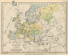
Europe 15th Century Colbeck Map
Europe during the 15th Century
180 miles away
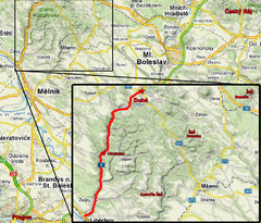
Czech Republic Tourist Map
181 miles away
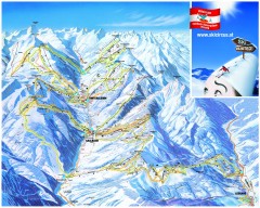
Saalbach and Hinterglemm Ski Trail map
Official ski trail map of Saalbach and Hinterglemm area from the 2006-2007 season. In German.
182 miles away
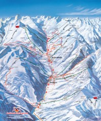
Saalbach and Hinterglemm Winter walks map
Panoramic map showing winter walks in the Saalbach and Hinterglemm Austria area.
182 miles away
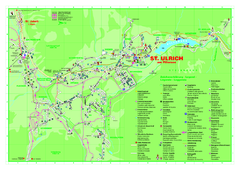
St. Ulrich am Pillersee Map
Village map of St. Ulrich am Pillersee, Austria
182 miles away
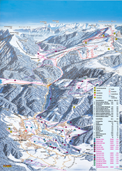
Reit im Winkl Ski Trail Map
Trail map from Reit im Winkl.
185 miles away
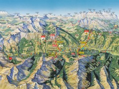
Saalbach Hinterglemm Summer Hiking Map
Summer panorama map of Saalbach and Hinterglemm Austria area. Shows trails, lifts, huts, and peaks.
185 miles away
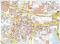
Katowice Tourist Map
Tourist map of central Katowice, Poland. Shows points of interest.
185 miles away
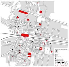
Kattowitz Tourist Map
Tourist map of Kattowitz, Poland. Shows points of interest.
185 miles away
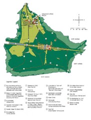
Chiemsee Island Germany Tourist Map
Tourist map of the island showing all the tourist sites.
185 miles away
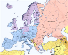
Traditional European Religious Majorities by...
Shows the traditional religious majorities by region in Europe.
188 miles away
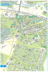
Poprad Tourist Map
Tourist map of Poprad, Slovakia. Shows points of interest.
189 miles away
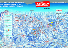
Wilder Kaiser Ski Trail Map
Trail map from Wilder Kaiser – Gosau, Scheffau, Ellmau.
192 miles away
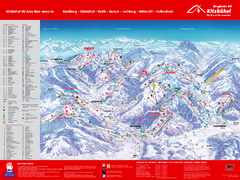
Kitzbuhel Ski Trail Map
Trail map from Kitzbuhel.
192 miles away
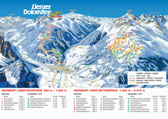
Lienz Austria Ski Map
Trail map for Lienz ski resort in Austria. Lifts, runs, elevations and amenities marked on map.
194 miles away
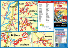
Neunburg vorm Wald District Map
Tourist street map of districts of Neunburg
198 miles away
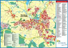
Neunburg vorm Wald Map
Tourist street map of Neunburg vorm Wald
198 miles away

