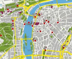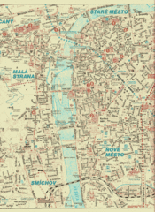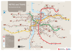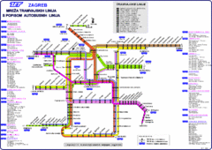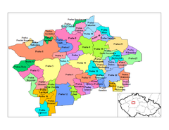
Prag Districts Map
157 miles away
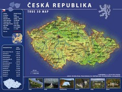
Prague, Czech Republic Tourist Map
157 miles away
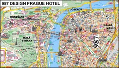
Prague, Czech Republic Tourist Map
157 miles away
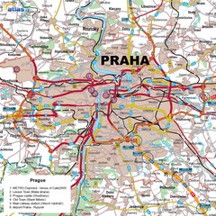
Prague, Czech Republic Tourist Map
157 miles away
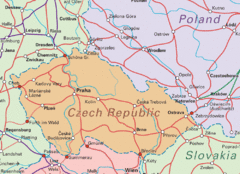
Czech Republic Tourist Map
157 miles away
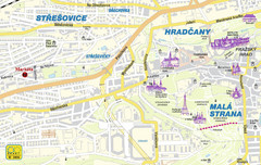
Prague Tourist Map
157 miles away
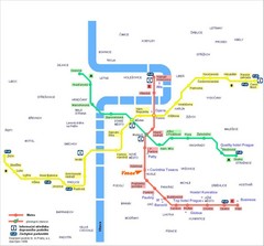
Prague Hotel Map
157 miles away
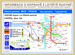
Prague Airport to Metro Map
157 miles away
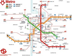
Prague Metro Map
157 miles away
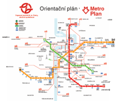
Prague Metro Map
157 miles away
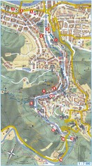
Transportation near Prague Map
Locations and destinations of transportation in and near Prague
157 miles away
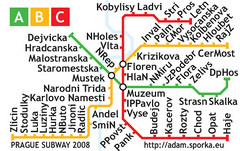
Prague Metro Map 2008 (for small displays)
Small version of Prague metro map of mobile phones, etc.
157 miles away
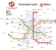
Prague Public Transport Map
Public transportation in Prague
157 miles away
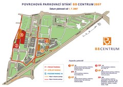
BB Centrum Map (Czech)
BB Centrum is one of the largest and most successful developments in the Czech Republic. This new...
157 miles away
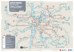
Tram Night Operation Map
157 miles away
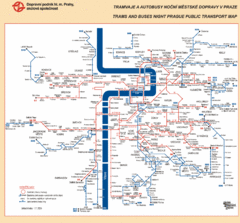
Prague Night Public Bus Tram Map
157 miles away
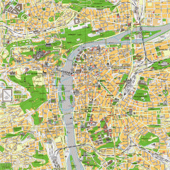
Prague City Center Map
Street map of Prague's city center. Shows tourist points of interest including landmark...
157 miles away
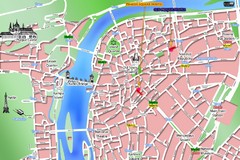
Prague Old Town Map
Tourist map of Old Town Prague, Czech Republic
157 miles away
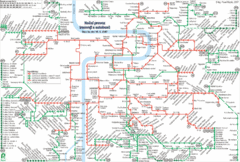
Prague Night Tram and Bus Lines Map
157 miles away
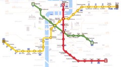
Prague Downtown Metro Map
Guide to public transportation in Prague
158 miles away
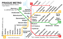
Prague Metro 2008 Map
158 miles away
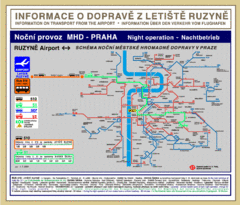
Prague Ruzyne Airport Night Public Transportation...
158 miles away
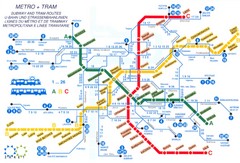
Prague (Praha) Metro Map
Guide to Prague Metro
158 miles away
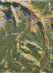
Tatras Map
The Tatras - rocks, landforms, weathering and soils field trip map with sites identified.
158 miles away
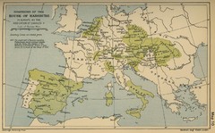
Dominions in the House of Habsburg - 1547...
159 miles away
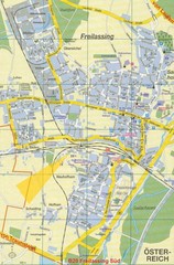
Freilassing Map
Street map of Freilassing
159 miles away
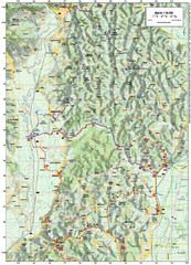
Villages and Sutla River Valley Bike Route Map
Bike routes and trails through the villages to the Sutla River Valley in Croatia. Note: The map...
160 miles away
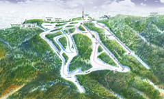
Medvednica Ski Trail Map
Trail map from Medvednica.
160 miles away
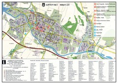
Liptovsky Mikulas Tourist Map
Tourist map of Liptovsky Mikulas, Slovakia
160 miles away
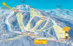
Arber Ski Trail Map
Trail map from Arber.
161 miles away
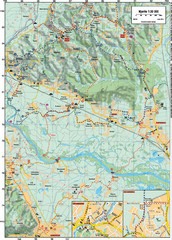
Sulta and Sava Croatia Cycling Route Map
the trails on this map are through picturesque hills to the confluence of the Sutla and Sava Rivers...
162 miles away
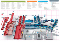
Praugue Airport Map
162 miles away
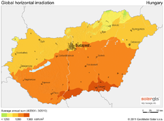
Solar Radiation Map of Hungary
Solar Radiation Map Based on high resolution Solar Radiation Database: SolarGIS. On the Solar Map...
163 miles away
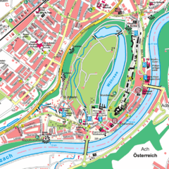
Burghausen Tourist Map
Tourist street map of Burghausen
164 miles away
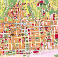
Zagreb Tourist Map
Tourist map of central Zagreb, Croatia. Shows major buildings.
167 miles away
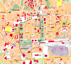
Zagreb Center Map
167 miles away

