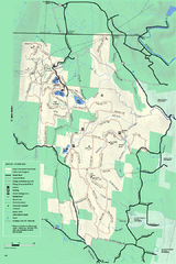
Savoy Mountain winter map
Winter use map of Savoy Mountain in Massachusetts.
104 miles away
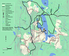
Tolland State Forest winter trail map
Winter usage trail map of the Tolland State Forest area in Massachusetts.
104 miles away
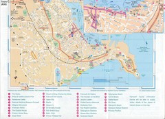
Falmouth Map
Map of Falmouth town and bay. Includes roads, parks, accommodations and attractions.
104 miles away
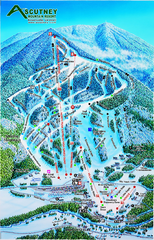
Ascutney Mountain Ski Trail Map 2006-07
Official ski trail map of Ascutney ski area from the 2006-2007 season.
104 miles away
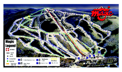
Magic Mountain Ski Trail map
Official ski trail map of Magic Mountain ski area from the 2006-2007 season.
104 miles away
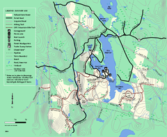
Tolland State Forest summer trail map
Summer use map for Tolland State Forest in Massachusetts.
104 miles away
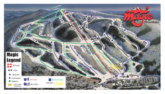
Magic Mountain Ski Trail Map
Trail map from Magic Mountain.
104 miles away
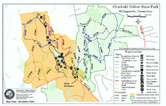
Chatfield Hollow State Park map
Trail map of Chatfield Hollow State Park
105 miles away
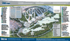
King Pine Ski Area Ski Trail Map
Trail map from King Pine Ski Area.
105 miles away
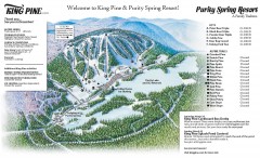
King Pine Ski trail Map
Official ski trail map of King Pine ski area from the 2006-2007 season.
105 miles away
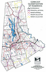
Connecticut Roadway Classification Map
105 miles away
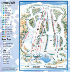
Powder Ridge Ski Area Ski Trail Map
Trail map from Powder Ridge Ski Area.
105 miles away
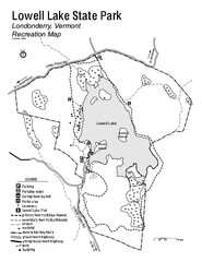
Lowell Lake State Park map
Campground map for Lowell Lake State Park in Vermont
105 miles away
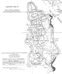
Frye Island Archaeological Map
106 miles away
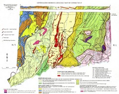
Connecticut Geologic Map
Geologic map of Connecticut bedrock. Shows shaded terranes, fault lines, and Mesozoic formations.
106 miles away
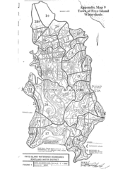
Frye Island Watershed Boundary Map
106 miles away

Eastern Long Island Placemat map
Photo of a placemat map from Gosman's Dock Restaurant in Montauk, NY. Shows eastern Long...
106 miles away
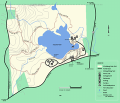
Clarksburg State Park trail map
Trail map of Clarksburg State Park in Massachusetts.
106 miles away
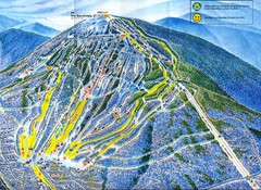
Sugarloaf Mountain Trail Map
Ski trail map
106 miles away
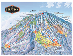
Stratton Mountain ski area trail map 2006-07
Official ski trail map of Stratton Mountain ski area from the 2006-2007 season.
107 miles away
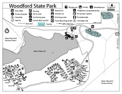
Woodford State Park Campground Map
Campground map for Woodford State Park in Vermont
107 miles away
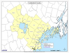
Cumberland County Map
Map showing all city divisions of Cumberland County, Maryland with specific location of the CPCOG.
107 miles away
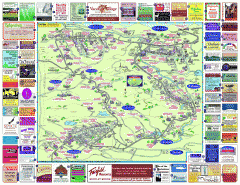
North County Berkshires map
Tourist map of North County - Pittsfield, N. Adams, Adams, Lanesboro, Cheshire, Williamstown...
108 miles away

Hammonasset Beach State Park map
Trail map for Hammonasset Beach State Park in Connecticut.
108 miles away

Hammonasset Beach State Park campground map
Campground map of Hammonasset State Park in Connecticut.
108 miles away
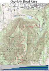
Mt. Greylock Road Race Course Map
Course map of the annual Mount Greylock Road Race. 8 Miles (uphill). Start/Finish: Mt. Williams...
109 miles away
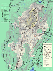
Mt. Greylock State Reservation summer trail map
Summer trail map of the Mt. Greylock State Park area in Massachusetts.
109 miles away
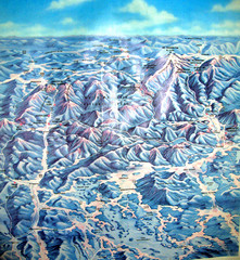
White Mountains New Hampshire Map
Old bird's eye view map of the White Mountain region of New Hampshire by Frank Thomas. Date of...
109 miles away
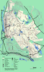
October Mountain State Forest trail map
Trail map of October Mountain State Forest in Massachusetts.
109 miles away
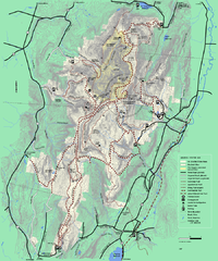
Mt. Greylock State Reservation winter trail map
Winter use trail map of Mt. Greylock State Park in Massachusetts.
109 miles away
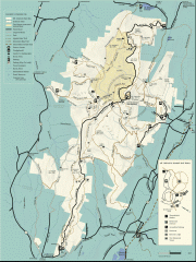
Mt. Greylock State Reservation map
Official summer map of the Mount Greylock State Reservation. At 3,491 feet, Mount Greylock is the...
110 miles away
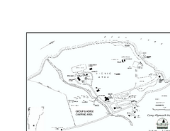
Camp Plymouth State Park map
Map of Camp Plymouth Park in Vermont.
110 miles away
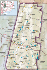
Berkshires Map
Overview map of the Berkshires region of Western Massachusetts
110 miles away
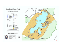
Burr Pond State Park map
Map of Burr Pond State Park in Connecticut.
110 miles away
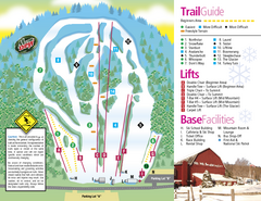
Mt. Southington Ski Area Ski Trail Map
Trail map from Mt. Southington Ski Area, which provides downhill, night, and terrain park skiing...
110 miles away
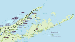
Long Island Wineries Map
Map of LIWC member wineries offering wine tastings to the public.
110 miles away
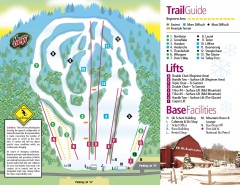
Mount Southington Ski Trail Map
Official ski trail map of Mount Southington ski area from the 2007-2008 season.
110 miles away
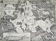
Shelter Island Map
Old Shelter Island map circa 1930s
111 miles away
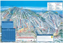
Okemo Mountain Resort ski trail map 2006-07
Official ski trail map of Okemo ski area for the 2006-2007 season. Slopes & Trails 624 acres...
111 miles away
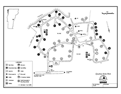
Quechee State Park map
Campground map for Quechee Gorge State Park in Vermont
111 miles away

