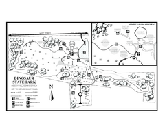
Dinosaur State Park map
Trail map of Dinosaur State Park in Connecticut.
96 miles away
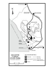
Gillette State Park trail map
Trail map of Gillette Castle State Park in Connecticut.
96 miles away
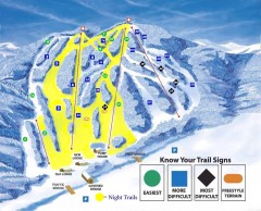
Blandford Ski Trail Map
Official ski trail map of Blandford ski area
96 miles away
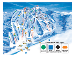
Blandford Ski Area Ski Trail Map
Trail map from Blandford Ski Area.
96 miles away
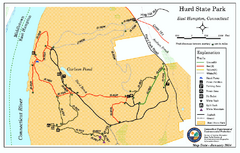
Hurd State Park trail map
Trail map for Hurd State Park in Connecticut.
96 miles away
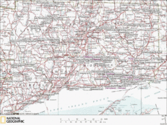
Connecticut Canoeing and Kayaking Lakes Map
A map of the lakes and ponds that are open for canoeing and kayaking in Connecticut. For detailed...
96 miles away
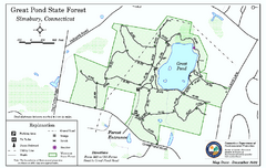
Great Pond State Park trail map
Trail map of Great Pond State Forest in Connecticut.
96 miles away
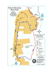
Talcott Mountain State Park map
Trail map of Talcott Mountain State Park in Connecticut.
96 miles away
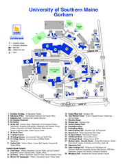
University of Southern Maine - Gorham Map
97 miles away
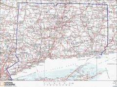
Connecticut State Parks Map
This is statewide map for Connecticut state parks. Go to the source website for detailed hiking...
97 miles away
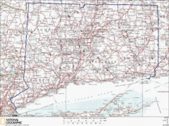
Connecticut Rock Climbing Locations Map
A map of most of the important rock climbing and bouldering areas in Connecticut. Click the link...
97 miles away
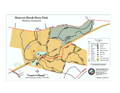
Stratton Brook State Park map
Trail map of Stratton Brook State Park in Connecticut.
97 miles away

Cockaponset State Forest North Section trail map
Trail map for the north section of Cockaponset State Forest in Connecticut
98 miles away
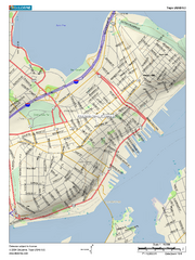
Portland, Maine City Map
98 miles away

University of Southern Maine - Portland Map
99 miles away
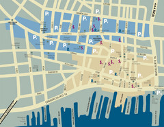
Portland, Maine Tourist Map
99 miles away
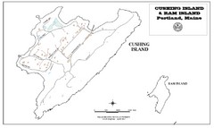
Cushing Island Map
Also shows Ram Island
99 miles away
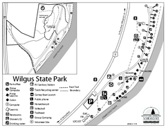
Wilgus State Park Campground Map
Campground map for Wilgus State Park in Vermont
99 miles away
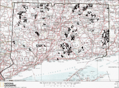
Connecticut State Forests Map
This is a map of all of the state forest boundaries in Connecticut. Follow the source web address...
99 miles away
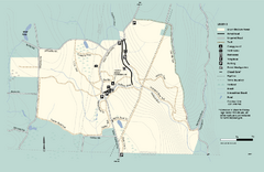
Granville State Forest trail map
Trail map of Granville State Forest in Massachusetts
99 miles away

Cockaponset State Forest South Section trail map
Trail map for the South Section of Cockaponset State Forest in Connecticut.
99 miles away
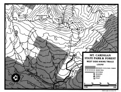
Cardigan State Park map
Topographical map of West Side hiking trails in Cardigan State Park in New Hampshire.
100 miles away
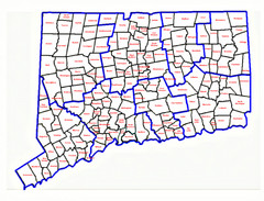
Connecticut Town Map
100 miles away
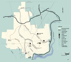
Monroe State Forest trail map
Trail map of Monroe State Forest in Massachusetts.
101 miles away
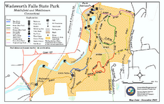
Wadsworth Falls State Park map
Trail map of Wadsworth Falls State Park in Connecticut.
102 miles away
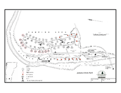
Jamaica State Park Campground Map
Campground map of Jamaica State Park in Vermont
102 miles away
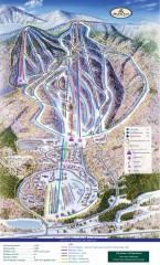
Haystack Club Ski Trail map
Official ski trail map of Haystack ski area from the 2006-2007 season.
102 miles away
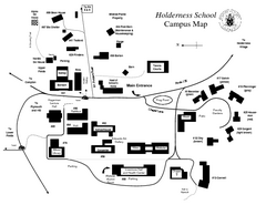
Holderness School Campus Map
A Campus Map of the Holderness School
102 miles away
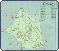
Chester Town Map
102 miles away
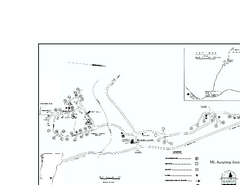
Ascutney State Park map
Campground map of Ascutney State Park in Vermont
102 miles away
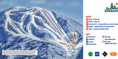
Ski Sundown Ski Trail Map
Trail map from Ski Sundown, which provides downhill and night skiing. It has 5 lifts servicing 15...
102 miles away
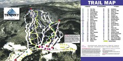
Tenney Mountain Ski Trail Map
Trail map from Tenney Mountain.
102 miles away
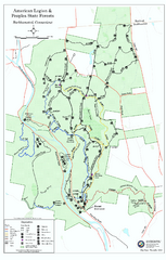
American Legion State Forest trail map
Trail map of American Legion and Peoples State Forests in Connecticut.
103 miles away
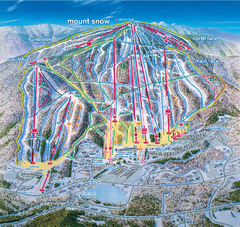
Mount Snow Ski Trail Map - main face
Trail map of main face of Mt Snow ski area near Wilmington, Vermont
103 miles away
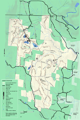
Savoy Mountail trail map
Trail map for Savoy Mountain in Massachusetts.
103 miles away
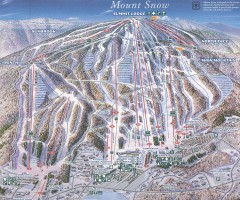
Mount Snow Trail Map 2001
Ski trail map of Mount Snow ski area, estimated 2001
103 miles away
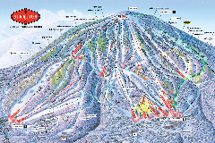
Stratton Mountain Resort Ski Trail Map
Trail map from Stratton Mountain Resort.
103 miles away
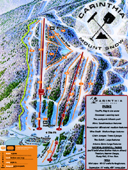
Mount Snow Carinthia Terrain Park Ski Trail Map
Trail map from Mount Snow.
103 miles away
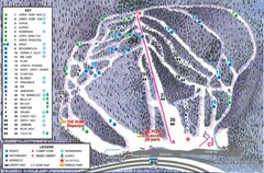
Whaleback Ski Trail Map
A Trail Map of Whaleback Ski Area
103 miles away

