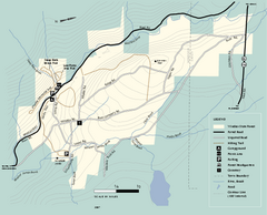
Windsor State Forest trail map
Trail map of Windsor State Forest in Massachusetts.
84 miles away
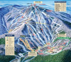
Mt. Sunapee Ski Trail Map
Official ski trail map of Mt. Sunapee ski area from the 2007-2008 season.
84 miles away
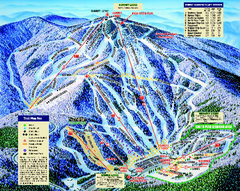
Mount Sunapee Ski Area Ski Trail Map
Trail map from Mount Sunapee Ski Area.
84 miles away
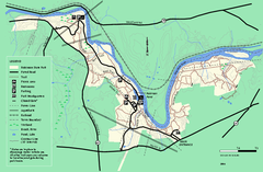
Robinson State Park trail map
Trail map of Robinson State Park in Massachusetts.
84 miles away

Six Flags New England Theme Park Map
Official Park Map of Six Flags New England in Massachusetts.
84 miles away
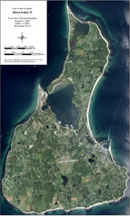
Block Island Aerial Map
Aerial map of Block Island, RI (New Shoreham, RI). True color orthophotography from August 2006.
85 miles away
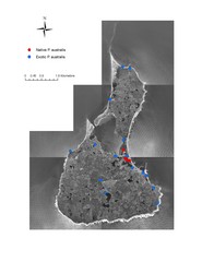
Native and Exotic Phragmites on Block Island Map
85 miles away
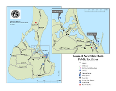
Block Island Road Map
Shows roads and major facilities on Block Island, RI (New Shoreham)
86 miles away
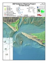
Esther Island Map
DEP Eelgrass map of Esther Island, Nantucket
86 miles away
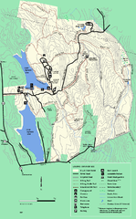
DAR State Forest summer map
Summer use map of the Daughters of the American Revolution state forest.
86 miles away
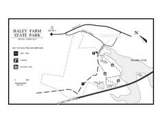
Haley Farm State Park map
Trail map of Haley Farm State Park in Connecticut.
86 miles away
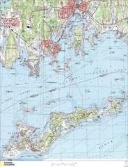
Fishers Island Map
In Long Island Sound
87 miles away
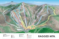
Ragged Mountain Ski trail Map
Official ski trail map of Ragged Mountain ski area from the 2007-2008 season.
87 miles away
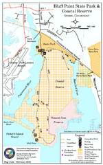
Bluff Point State Park map
Trail map for Bluff Point State Park and Coastal Reserve.
87 miles away
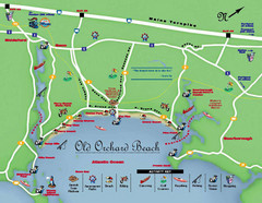
Old Orchard Beach Tourist Map
87 miles away
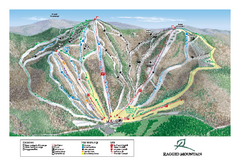
Ragged Mountain Ski Trail Map
Trail map from Ragged Mountain.
87 miles away
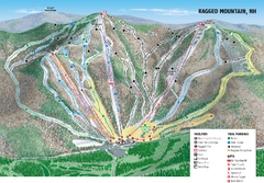
Ragged Mountain Ski Trail Map
Trail map from Ragged Mountain.
87 miles away
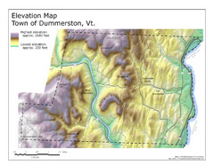
Elevation Map of Dummerston, Vermont
This Hypsometric map is a map that distinguishes elevations progression within a specific...
87 miles away
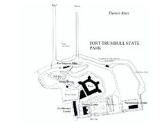
Fort Trumbull State Park map
Map of Fort Trumbull State Park in Connecticut.
88 miles away
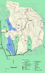
DAR State Forest winter map
Winter use map of the Daughters of the American Revolution State Forest.
89 miles away
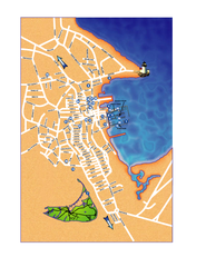
Nantucket Town Street Map
Tourist map of town of Nantucket on Nantucket Island. Shows major streets and points of interest...
89 miles away
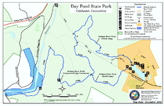
Daypond State Park map
Trail map for Day Pond State Park
89 miles away

Salmon River State Forest trail map
Trail map for Salmon River State Forest in Connecticut.
90 miles away
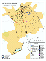
Devils Hophard State Park map
Trail and camprground map for Devils Hopyard State Park in Connecticut.
90 miles away
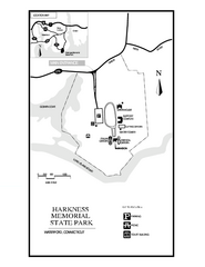
Harkness Memorial State Park map
Trail map of Harkness Memorial State Park in Connecticut.
91 miles away
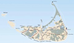
Tourist Map of Nantucket Island
Tourist map of Nantucket Island. Shows all towns and information.
91 miles away
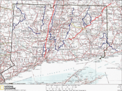
Connecticut Long Distance Trails Map
A map of long distance trails throughout Connecticut. Go to the website below for detailed trail...
92 miles away

Wadsworth Athenium Museum Location Map
Wadsworth Athenium visitor location map with locations of major buildings, streets, parks, and...
93 miles away
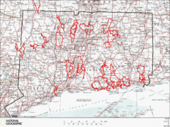
Connecticut Road Cycling Routes Map
A map of road cycling routes throughout Connecticut. Follow the link below for detailed route maps...
93 miles away
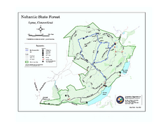
Nehantic State Forest map
Trail map of Nehantic State Forest in Connecticut.
93 miles away
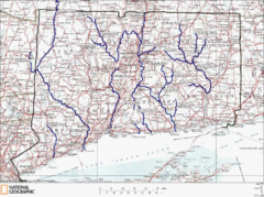
Connecticut Rivers and Coastal Paddling Map
This is a map of paddling areas for rivers and coastal kayaking. Follow the link below for...
94 miles away
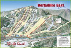
Berkshire East Ski Trail Map
Official ski trail map of Berkshire East ski area from the 2007-2008 season.
94 miles away
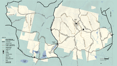
Kenneth Dubuque Memorial State Park trail map
Trail map of the Kenneth Dubuque state park conservation area in Massachusetts.
94 miles away
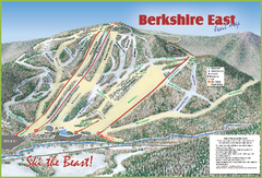
Berkshire East Ski Area Ski Trail Map
Trail map from Berkshire East Ski Area.
95 miles away
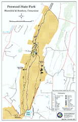
Penwood State Park map
Trail map of Penwood State Park in Connecticut.
95 miles away
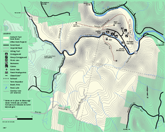
Mohawk Trail State Forest map
Map of the Mohawk Trail State Forest in Charlemont, Massachusetts.
95 miles away
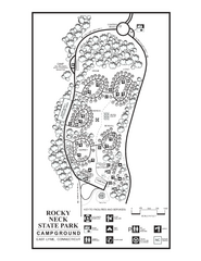
Rocky Neck State Park campground map
Campground map of Rocky Neck State Park in Connecticut.
95 miles away
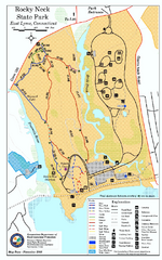
Rocky Neck State Park trail map
Trail map of Rocky Neck State Park in Connecticut.
95 miles away
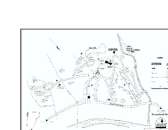
Townshend State Park Campground Map
Campground map of Townshend State Park in Vermont
95 miles away
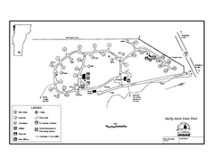
Molly Stark State Park Campground Map
Campground map for Molly State State Park in Vermont
95 miles away

