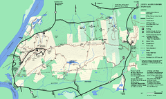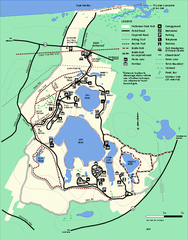
Nickerson State Park trail map
Trail map of Nickerson State Park in Massachusetts.
68 miles away
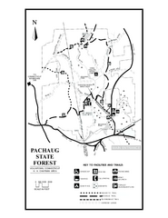
Pachaug State Forest map
Trail map of Pachaug State Forest in Connecticut.
68 miles away
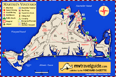
Martha's Vineyard Island Map
Tourist map of island of Martha's Vineyard, Massachusetts.
68 miles away
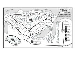
Hopeville Pond campground map
Campground map of Hopeville Pond State Park in Connecticut.
69 miles away
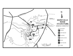
Hopeville Pond State Park trail map
Trail map for Hopevill Pond State Park in Connecticut
69 miles away
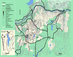
Wendell State Forest trail map
Trail map of Wendell State Forest in Massachusetts.
69 miles away
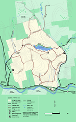
Erving State Park winter use map
Winter use map of the Erving State Park in Massachusetts
69 miles away
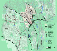
Mt. Grace State Forest trail map
Trail map of Mt. Grace State Forest near Warwick, Massachusetts.
69 miles away
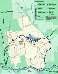
Erving Summer trail map
Summer use map of Erving State Park in Massachusetts.
70 miles away
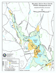
Mansfield Hollow State Park map
Map for Mansfield Hollow State Park and Wildlife Management Area in Connecticut.
71 miles away

Mansfield Cemetery Map
71 miles away
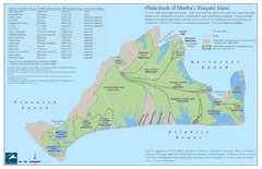
Martha's Vineyard Watershed Map
71 miles away
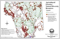
Mansfield Conservation and Development Map
Guide to Agricultural, Forestry and Natural Diversity Resources
72 miles away
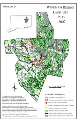
2002 Windham Region Land Use Map
Regional Land Use Guide Map for Planning Purposes
72 miles away
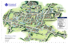
University of Connecticut - Storrs Campus Map
University of Connecticut - Storrs Campus Map. All areas shown.
72 miles away
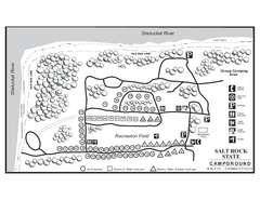
Salt Rock State Park campground map
Campground Map of Salt Rock State Campground in Connecticut.
74 miles away
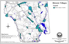
Historic Villages of Mansfield, Connecticut Map
Historical villages outlined on the map of the existing city.
74 miles away
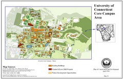
University of Connecticut Campus Map
Map shows current, funded projects and future development for UConn.
74 miles away
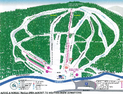
Granite Gorge Ski Trail Map
Trail map from Granite Gorge. This ski area opened in 2005.
74 miles away
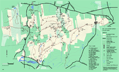
Mount Holyoke Range State Park Map
Trail map of Holyoke Range State Park.
74 miles away
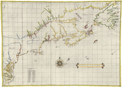
Velasco Map 1610
74 miles away
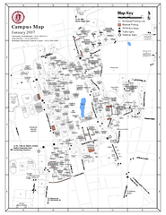
University of Massachusetts - Amherst Map
Campus Map of the University of Massachusetts - Amherst. All buildings shown.
75 miles away
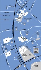
Downtown Amherst, Massachusetts Map
Tourist map of downtown Amherst, Massachusetts, showing attractions, government buildings, atms...
75 miles away
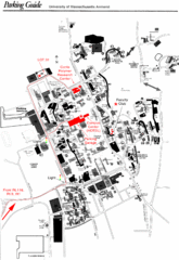
University of Massachusetts Amherst Parking Map
Map of the University of Massachusetts. Includes all buildings, streets, and parking information.
75 miles away
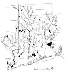
Rhode Island Coastal Watershed Map
Paddling Guide of Pawcatuck River Watershed
77 miles away
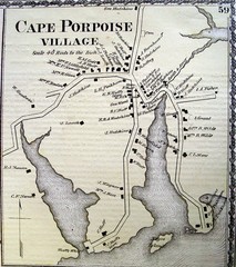
Cape Porpoise Village Map
77 miles away
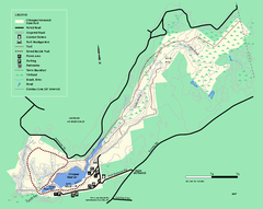
Chicopee State Park trail map
Chicopee State Park trail map
77 miles away
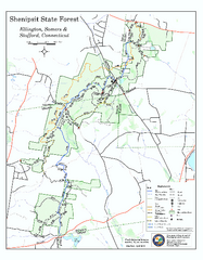
Trail map of Shenipsit State Forest
Trail map of Shenipsit State Forest in Connecticut.
78 miles away

Camp Morgan Trail Map
78 miles away
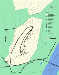
Mt. Sugarloaf State Reservation trail map
Trail map of Mount Sugarloaf State Reservation
79 miles away
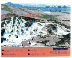
Temple Mountain Last year open—Credited to...
Trail map from Temple Mountain. This ski area opened in 1937.
80 miles away
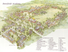
Deerfield Academy Campus Map
Shows buildings and facilities of Deerfield Academy. Scanned.
80 miles away
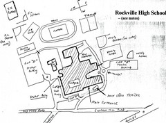
Rockville High School Map
Hand-drawn map of Rockville High School includes all buildings, Parking Lots, and sports fields.
81 miles away
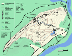
Mt. Tom State Reservation trail map
Trail map of Mt. Tom State Reservation
81 miles away
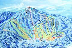
Gunstock Ski Trail Map
Ski trail map of Gunstock Mountain ski area
83 miles away
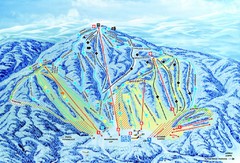
Gunstock Ski Area Ski Trail Map
Trail map from Gunstock Ski Area.
83 miles away
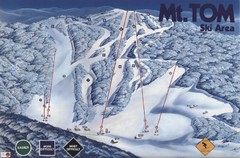
Mount Tom Ski Trail Map
Trail map from Mount Tom, which provides downhill skiing. This ski area opened in 1962.
83 miles away
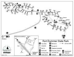
Fort Dummer State Park Campground Map
Campground map of Fort Dummer State Park in Vermont
84 miles away
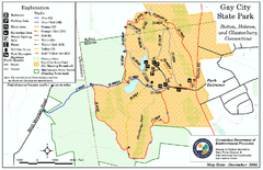
Gay City State Park trail map
Trail map of Gay City State Park in Connecticut.
84 miles away

