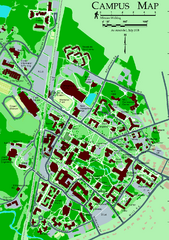
University of New Hampshire Campus Map
University of New Hampshire Campus Map
54 miles away
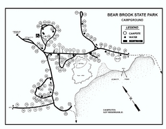
Bear Brook State Park Campground map
Campground map of Bear Brook State Park in New Hampshire
55 miles away
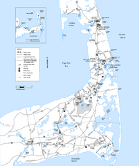
Cape Cod Rail Trail Map
Cape Cod Rail Trail map. The Cape Cod Rail Trail follows a former railroad right-of-way for 22...
55 miles away
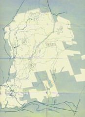
Bear Brook Trails Map
Bear Brook Park Trails and Park map in New Hampshire
55 miles away
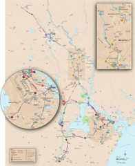
New Hampshire Transit Map
Guide to COAST and Wildcat Transit lines in New Hampshire
55 miles away
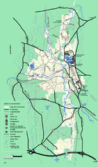
Otter River State Forest summer trail map
Summer trail map of the Otter River State Forest area in Massachusetts.
56 miles away
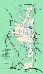
Otter River State Forest winter trail map
Winter usage trail map for Otter River State Park in Massachusetts.
56 miles away
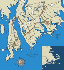
Southeastern New England Wine Trail Map
Map of the Southeastern New England Wine Trail, showing all vineyards and wineries that are members...
57 miles away
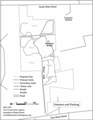
Parker Farm Trail Map
58 miles away
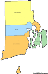
Rhode Island Counties Map
58 miles away
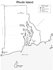
Rhode Island Airports Map
58 miles away
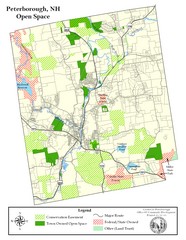
Peterborough Open Space Map
Map of open space lands in Peterborough, New Hampshire
58 miles away
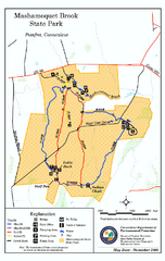
Mashamoquet Brook State Park trail map
Trail map of Mashamoquet Brook State Park in Connecticut.
59 miles away
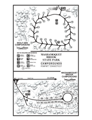
Mashamoquet Brook State Park campground map
Campground map of Mashamoquet Brook State Park in Connecticut.
59 miles away
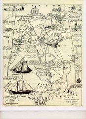
Wellfleet 1930s Tourist Map
A tourist map from the 1930s of Wellfeet, Massachusetts in Cape Cod. Courtesy of Cynthia Blakeley
60 miles away
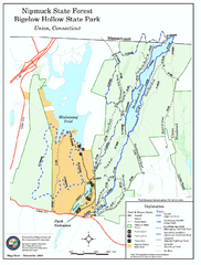
Nipmuck State Forest trail map
Trail map of Nipmuck State Forest and Bigelow Hollow State Park in Connecticut.
60 miles away
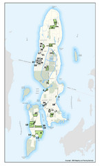
Conanicut Island Land Trust Map
Shows 430 acres of property on Conanicut Island, RI stewarded by the Conanicut Island Land Trust
60 miles away
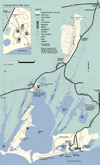
Waquoit Bay National Estuarine Research Preserve...
Trail map of Waquoit Bay National Estuarine Research Preserve in Massachusetts.
60 miles away
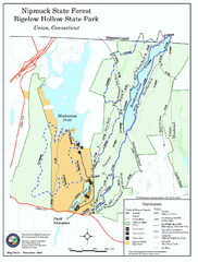
Bigelow Hollow State Park trail map
Trail map of Bigelow Hollow State Park in Connecticut.
60 miles away
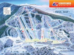
Crotched Mountain Ski Trail Map
Official ski trail map of Crotched Mountain ski area from the 2007-2008 season.
61 miles away
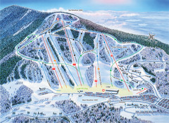
Crotched Mountain Ski Trail Map
Trail map from Crotched Mountain.
61 miles away
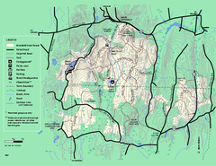
Brimfield State Forest trail map
Trail map of Brimfield State Forest in Massachusetts
62 miles away
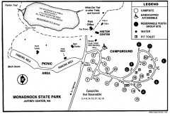
Monadnock State Park map
Campground map of Monadnock State Park in New Hampshire
63 miles away
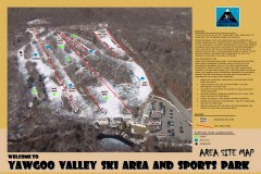
Yawgoo Valley Ski Trail map
Map of Yawgoo Valley Ski area in Exeter, Rhode Island. It is the only skiing resort in Rhode...
63 miles away
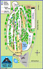
Yawgoo Valley Ski Area Ski Trail Map
Trail map from Yawgoo Valley Ski Area.
63 miles away
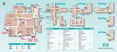
Cape Cod Hospital Map
Campus map of Cape Cod Hospital
63 miles away

Cape Cod Hospital Map
Map of external vicinity of Cape Cod Hospital
63 miles away
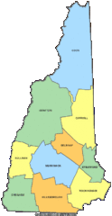
New Hampshire Counties Map
63 miles away
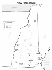
New Hampshire Airports Map
63 miles away
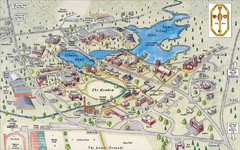
St. Paul's School Campus Map
Campus map of St. Paul's School
63 miles away
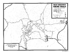
Mount Monadnock State Park Map
Official hiking map of the park. With its thousands of acres of protected highlands, 3,165-ft...
63 miles away
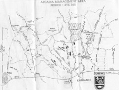
Arcadia Management Area State Map
Trail map for Arcadia Management Area in Rhode Island
64 miles away
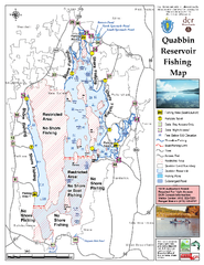
Quabbin Reservoir Fishing Map
Fishing access map of Quabbin Reservoir. Shows all ponds and submerged ponds.
64 miles away
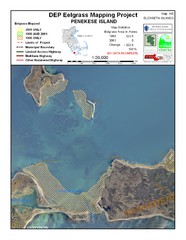
Penekese Island Eelgrass Map
64 miles away
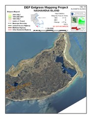
Nashawena Island Eelgrass Map
65 miles away
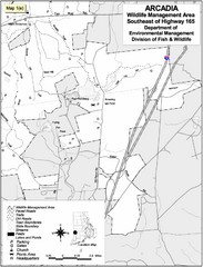
Arcadia Wildlife Management Area Map - Southeast
Reference map shows portion of Arcadia Wildlife Management Area, Rhode Island southeast of Highway...
65 miles away
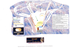
Arrowhead Arrowhead Ski Trail Map
Trail map from Arrowhead.
65 miles away
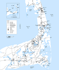
Cape Cod Rail Trail, Cape Cod, Massachusetts Map
Map of the Cape Cod Rail Trail bike path. Shows trails, restrooms, other roads and parking.
65 miles away

Palmer Motorsports Park Map
Track Map for Proposed Palmer Motorsports Park
66 miles away
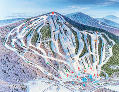
Pats Peak Ski Map
ski trail map of pats peak ski area
67 miles away

