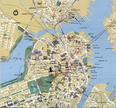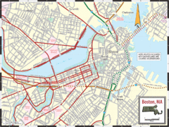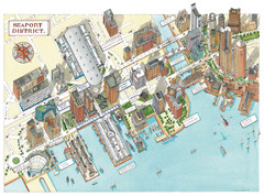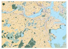
Boston, Massachusetts City Map
0 miles away
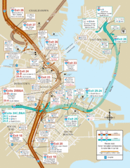
I-93 & I-90 Boston Map
Detail of exits and on-ramps for downtown Boston.
less than 1 mile away
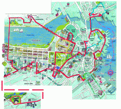
Boston 'Beantown Trolley' map
Tourist map of Boston, Mass. showing route of the Beantown Trolley, various points of interest and...
less than 1 mile away
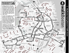
Walking Map of Boston, Massachusetts
Tourist map of Boston, Massachusetts, showing walking routes and times, as well as museums, squares...
less than 1 mile away
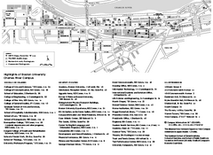
Boston University Charles River Campus Map
Campus map of Boston University. Charles River Campus. All areas shown.
less than 1 mile away
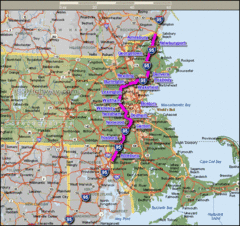
Interstate 95 Cities in Massachusetts Map
less than 1 mile away
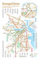
Boston Neighborhood Map
less than 1 mile away
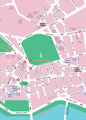
Boston Neighborhood Map
less than 1 mile away
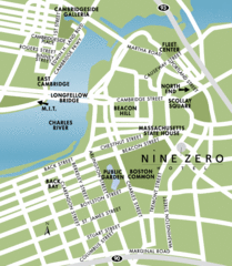
Central Boston Tourist Map
less than 1 mile away
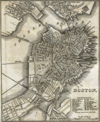
Antique map of Boston from 1842
Antique map of Boston from Tanner, H.S. The American Traveller; or Guide Through the United States...
less than 1 mile away
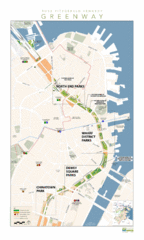
Rose Fitzgerald Kennedy Greenway Map
Boston's extensive heritage of parklands and common ground includes the Emerald Necklace...
less than 1 mile away
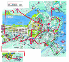
Boston Beantown Trolley Route Map
Route Map for the Boston Beantown trolley. Shows the trolley route, all stops, and a colorful...
less than 1 mile away
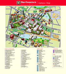
Northeastern University Map
Northeastern University Campus Map. All areas shown.
less than 1 mile away
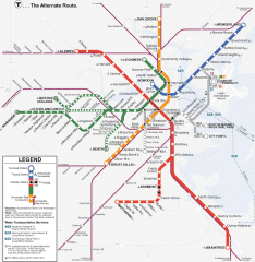
Boston Subway T Map
Massachusetts Bay Transportation Authority (MBTA) map of the Boston T subway system. Includes...
less than 1 mile away
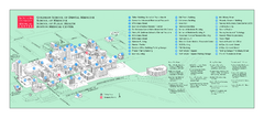
Boston University Medical Campus and Boston...
Boston University Medical Campus and Boston Medical Center area map. All buildings shown.
less than 1 mile away
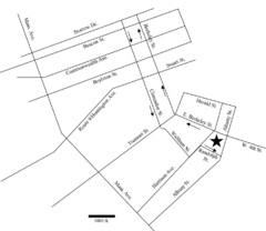
Rotch Field Location Map
Directions to Rotch Playing Field in Boston Common.
1 mile away
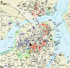
Boston National Historical Park Official Park Map
Official NPS map of Boston National Historical Park in Boston, Massachusetts. From park brochure...
1 mile away
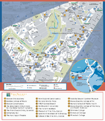
Fenway Cultural District Map
Map of the Fenway Cultural District. Shows schools, museums, libraries, and other cultural points...
2 miles away
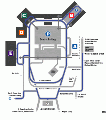
Boston/General Edward Lawrence Logan...
Terminal map of Boston/General Edward Lawrence Logan International Airport. Shows all areas.
3 miles away
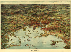
Walker's Map of Boston Harbor and Environs...
Walker's map of Boston Harbor and immediate environs from 1905.
3 miles away
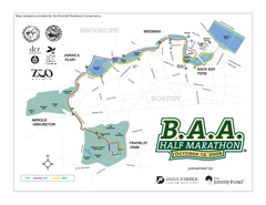
Boston Athletic Association Half Marathon Map
Guide to the Boston Half Marathon, organized by the Boston Athletic Association
3 miles away
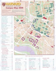
Harvard University Map
Campus map
3 miles away
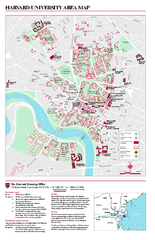
Harvard University campus map
Harvard University campus map
3 miles away
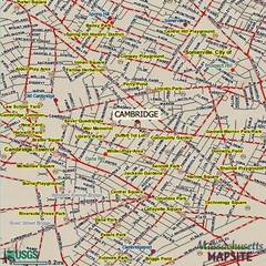
Cambridge, Massachusetts Map
3 miles away
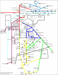
Cambridge Pub Map
3 miles away
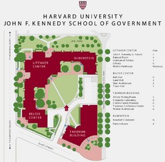
John F. Kennedy School of Government Campus Map
Campus map of the Harvard University John F. Kennedy School of Government in Cambridge...
3 miles away
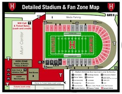
Harvard Stadium Map
Beautiful map of the horse-shoe shaped stadium of Harvard University.
4 miles away

Jamaica Plain Bus Route Map
5 miles away
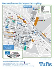
Medford Campus Map
Clear map indicating buildings and parking areas.
5 miles away
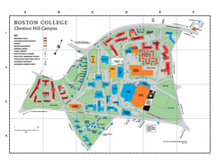
Boston College - Chestnut Hill Campus Map
Boston College - Chestnut Hill Campus Map. Shows all buildings.
6 miles away
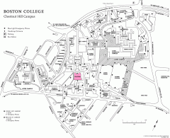
Boston College Chestnut Hill Campus Map
campus map for Boston College's Chestnut Hill Camps
6 miles away
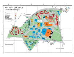
Boston College Main Chestnut Hill Campus Map
The main campus of Boston College, Chestnut Hill. Grid Map with Building Table
6 miles away
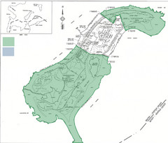
Thompson Island Easement Map
Map of Thompson Island easement. Includes roads, buildings, trails and attractions as well as the...
6 miles away
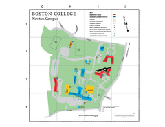
Boston College - Newton Campus Map
Boston College - Newton Campus Map. Shows all buildings.
7 miles away
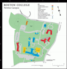
Boston College Newton Campus Map
campus map for Boston College Newton Campus
7 miles away
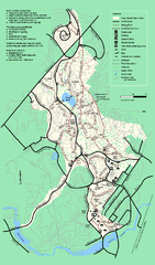
Stony Brook Reservation trail map
Trail map of the Stony Brook Reservation in Massachusetts.
8 miles away
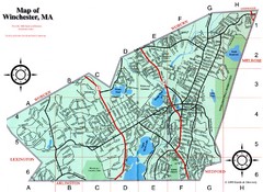
Winchester Town Map
8 miles away

