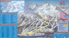
Jasper’s Marmot Basin Ski Trail Map
Trail map from Jasper’s Marmot Basin, which provides downhill skiing. This ski area has its own...
1354 miles away
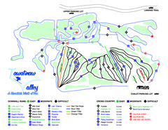
Tawatinaw Valley Ski Trail Map
Trail map from Tawatinaw Valley, which provides downhill and nordic skiing. This ski area has its...
1358 miles away
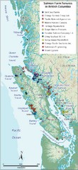
BC Fish Farm Map
Shows salmon farm tenures in southern British Columbia, Canada.
1359 miles away

Edmonton, Alberta Tourist Map
Edmonton, Alberta and the area west of it
1359 miles away
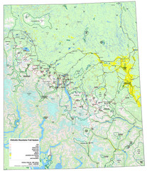
Chilcotin Mountains Trail System Map
Trail system map of the Chilcotin Mountains in BC, Canada "On the trail system map '...
1361 miles away
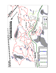
108 Mile House Ski Trail Map
Trail map from 108 Mile House.
1361 miles away
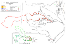
99 Mile Ski Ski Trail Map
Trail map from 99 Mile Ski Trails, which provides nordic skiing. This ski area has its own website.
1369 miles away
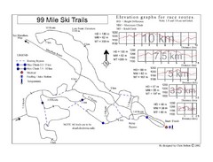
99 Mile Ski Race Routes Ski Trail Map
Trail map from 99 Mile Ski Trails, which provides nordic skiing. This ski area has its own website.
1369 miles away
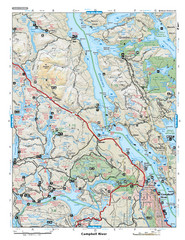
Campbell River Area Map
Vancouver Island, Victoria & Gulf Islands
1401 miles away
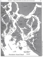
Desolation Sound Detail Map
Shows general geography of Desolation Sound from Malaspina Inlet to Bute Inlet. Shows Cortes Bay...
1401 miles away
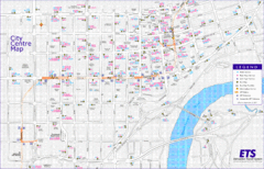
Edmonton Center Transportation Map
Bus and light rail public transportation map of center of Edmonton, Alberta, Canada.
1403 miles away
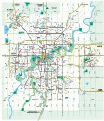
Edmonton Map
City street map of the metro Edmonton area in Alberta.
1403 miles away
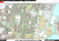
Edmonton, Alberta Tourist Map
1403 miles away
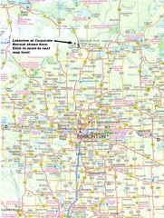
Edmonton, Alberta Tourist Map
1403 miles away
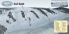
Sunridge Ski Area Ski Trail Map
Trail map from Sunridge Ski Area, which provides downhill skiing. This ski area has its own website.
1404 miles away
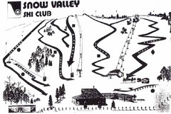
Snow Valley Ski Club ? Ski Trail Map
Trail map from Snow Valley Ski Club, which provides downhill skiing. This ski area has its own...
1405 miles away
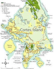
Cortes Island Tourist Map
Places of interest.
1407 miles away
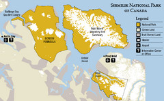
Sirmilik National Park Map
Official map of Sirmilik National Park in Nunavut, Canada. Comprises Borden Peninsula, Bylot...
1408 miles away
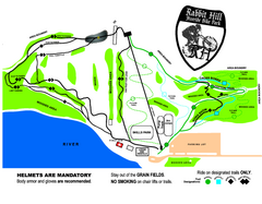
Rabbit Hill Ski and Snowboard Center Mountain...
Trail map from Rabbit Hill Ski and Snowboard Center, which provides downhill skiing. This ski area...
1408 miles away
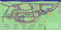
Devon Lions Park Campgrounds Map
1409 miles away
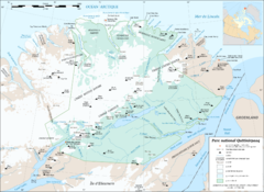
Parc National Quttinirpaaq Map
Map of Quttinirpaaq National Park, Nunavut, Canada. Shows glaciers, rivers, bodies of water, and...
1410 miles away
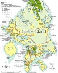
Cortes Island tourist map
Tourist map of Cortes Island in British Columbia, Canada. Shows businesses and roads.
1410 miles away
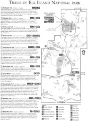
Elk Island National Park Trail Map
Map of hiking trails of Elk Island National Park, Alberta
1412 miles away
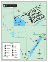
Birkenhead Lake Provincial Park Map
Park map of Birkenhead Lake Provincial Park, BC. Inset of campground
1414 miles away
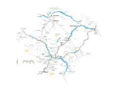
Pemberton Valley Area Parks Map
Area parks map of Pemberton Valley area in BC. Shows peaks and lakes.
1415 miles away
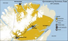
Quttinirpaaq National Park map
Official Parks Canada map of Quttinirpaaq National Park. From Parks Canada website: "Far to...
1416 miles away
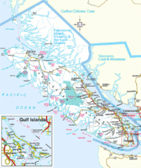
Vancouver Island Park Map
Parks and roads on Vancouver Island.
1417 miles away

Map of Canada Circa 1900
1419 miles away
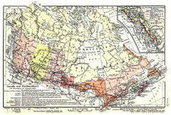
1911 Map of Canada and Newfoundland by Shepherd
This map was from the beautiful 1911 Historical Atlas by William R. Shepherd. Enjoy it!
1419 miles away
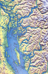
Northern Gulf Map
Map of Northern Gulf Islands
1423 miles away
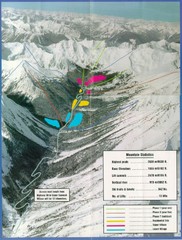
Cayoosh Resort (Melvin Creek) Ski Trail Map
Trail map from Cayoosh Resort (Melvin Creek), which provides downhill skiing.
1424 miles away
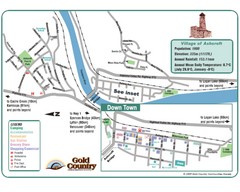
Ashcroft Map
Map of Ashcroft, includes all streets, highways, accommodations and attractions.
1426 miles away
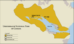
Ukkusiksalik National Park Map
Official map of Ukkusiksalik National Park in Nunavut, Canada around the Wager Bay. Shows national...
1427 miles away
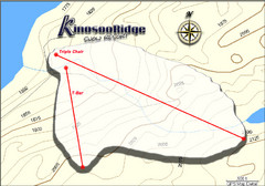
Kinosoo Ridge Topo Ski Trail Map
Trail map from Kinosoo Ridge, which provides downhill skiing. This ski area has its own website.
1427 miles away
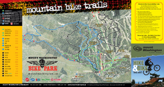
Mt. Washington Resort Summer Mountain Biking Ski...
Trail map from Mt. Washington Resort, which provides downhill and nordic skiing.
1427 miles away
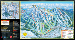
Mt. Washington Resort Ski Trail Map
Trail map from Mt. Washington Resort, which provides downhill and nordic skiing.
1427 miles away
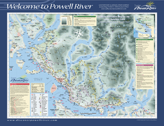
Upper Sunshine Coast Recreation Map
Recreation map of Upper Sunshine Coast in BC. Shows hiking trails, kayaking and canoeing routes...
1429 miles away

