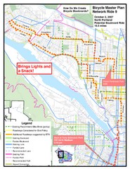
Portland, Oregon Bike Map
1743 miles away
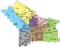
Portland, Oregon Neighborhood Map
1743 miles away
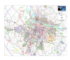
Portland, Oregon Tourist Map
1743 miles away
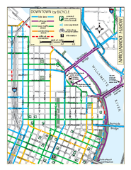
North Downtown Portland Bike Parking Map
Biking map of northern downtown Portland, Oregon. Shows bike paths, parking, and stores.
1743 miles away
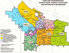
Portland Neighborhood Map
Shows neighborhood associations of Portland, Oregon.
1743 miles away
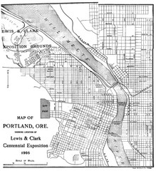
Portland, Oregon Map
Map of Portland, Oregon during centennial exposition of the Lewis & Clark Exploration...
1743 miles away
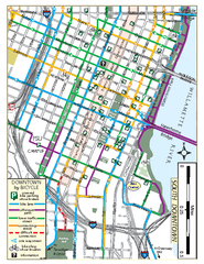
South Downtown Portland Bike Map
Biking map of southern downtown Portland, Oregon. Shows bike paths, bike parking, and bike shops.
1743 miles away
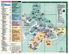
Oregon Zoo Map 2009
1743 miles away
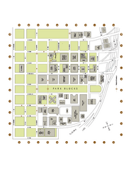
Portland State University Map
Campus Map of Portland State University. All buildings shown.
1743 miles away
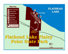
Finley Point State Park Map
This park is located in a secluded, mature pine forest near the south end of Flathead Lake. Enjoy...
1743 miles away
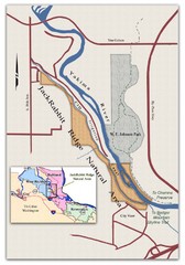
JackRabbit Ridge Natural Area Map
Shows urban wildlands
1744 miles away
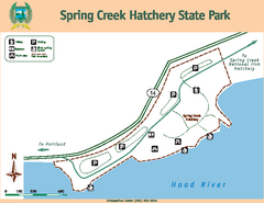
Spring Creek Hatchery State Park map
Map of park with detail of trails and recreation zones
1746 miles away
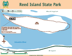
Reed Island State Park Map
Map of park with detail of trails and recreation zones
1746 miles away

Tigard Oregon Road Map
1747 miles away
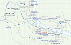
Kennewick Hotel Map
1747 miles away
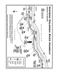
Historic Columbia River Highway Map
Official map from the US Forest Service. Shows the Corbett to Dodson stretch of Highway 30 with...
1747 miles away
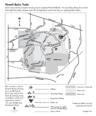
Powell Butte Nature Park Trail Map
Trail map of Powell Butte Nature Park. Shows over 9 miles of trails
1748 miles away
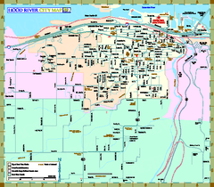
Hood River Map
Tourist map of city of Hood River, Oregon.
1748 miles away
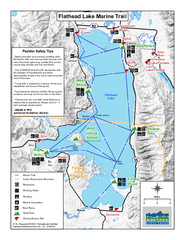
West Shore State Park Map
Glacially carved rock outcrops rise from Flathead Lake to overlooks with spectacular views of the...
1748 miles away

King City Oregon Road Map
1749 miles away

Lake Oswego Oregon Road Map
1749 miles away

Happy Valley Oregon Road Map
1750 miles away
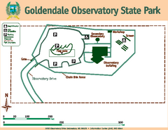
Goldendale State Park Map
Map of park with detail of trails and recreation zones
1750 miles away
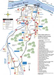
Hood River County Fruit Loop map
35-mile scenic drive through the valley's orchards, forests, farmlands, and friendly...
1750 miles away

City of Kennewick Map
Simple road map of Kennewick.
1752 miles away
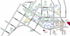
Washington State University's Greek Row Map
Map of WSU's fraternities and sororities
1752 miles away
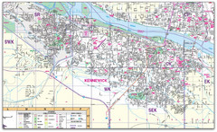
Kennewick, Washington City Map
1753 miles away

Pullman Parks Trail Map
Trails and pathways map
1753 miles away
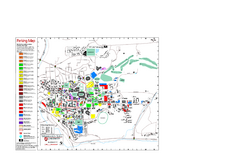
Washington State University Map
Washington State University Campus Map. All buildings shown.
1753 miles away
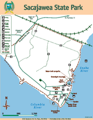
Sacajawea State Park Map
Map of park with detail of trails and recreation zones
1755 miles away
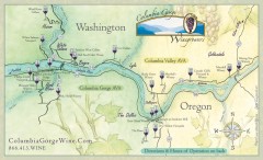
Columbia Gorge Wine Map
Wineries of the Columbia River Gorge area, Oregon.
1755 miles away
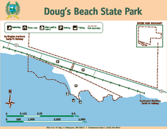
Dougs Beach State Park Map
Map of park with detail of trails and recreation zones
1758 miles away
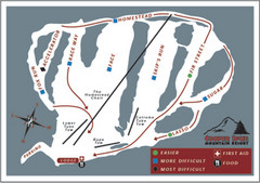
Cooper Spur Ski Area Ski Trail Map
Trail map from Cooper Spur Ski Area.
1761 miles away
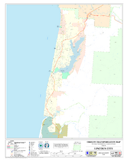
Lincoln City Oregon Road Map
1761 miles away
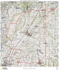
Spring Century Bike Route Map
Oregon Spring Century Ride
1764 miles away
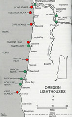
Lighthouses of the Oregon Coast Map
lighthouses (active, inactive, and destroyed) on the coast of Oregon (and the Columbia River)
1764 miles away
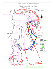
Moose Jaw Cross Country Ski Trail Map
Cross country ski trails around city of Moose Jaw, Saskatchewan, Canada. Shows green, red, and...
1766 miles away

Timberline Ski Area Ski Trail Map
Trail map from Timberline Ski Area.
1769 miles away


