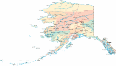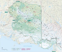
Wrangell-St. Elias National Park Map
Map of Wrangell-St. Elias National Park, Tetlin Wildlife Reserve, and Kluane National Park...
502 miles away
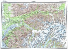
Anchorage Chugach State Park Topo Map
Topographic map of Chugach State Park, Anchorage, and surrounding area.
510 miles away

Alaska Map
515 miles away
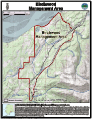
Birchwood, Alaska Tourist Map
525 miles away
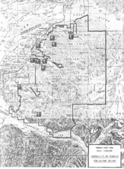
Chugach State Park Proposed Ski Area Map
Guide to Chugach State Park and proposed, but unbuilt, ski areas, now used for heli skiiing
533 miles away
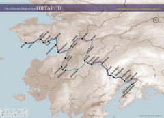
Iditarod Route Map
Official route map of the Iditarod, the famouse 1,150 mile dogsled race from Anchorage to Nome...
534 miles away
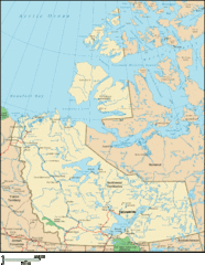
Northwest Territories Map
Overview map of the Northwest Territories of Canada.
538 miles away
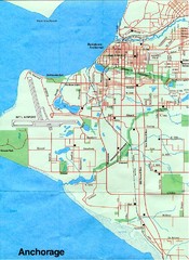
Anchorage Alaska Map
541 miles away
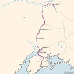
Alaska Railroad ma Map
Map of alaska normal gauga railroad. Licensed on Creative Commons Share Alike 3.0 license
542 miles away
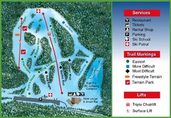
Hilltop Ski Area Ski Trail Map
Trail map from Hilltop Ski Area, which provides downhill, night, nordic, and terrain park skiing...
545 miles away
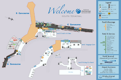
Ted Stevens Anchorage International Airport...
Official map of Ted Stevens Anchorage International Airport - South Terminal. Shows all concourses...
545 miles away
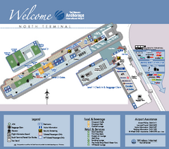
Ted Stevens Anchorage International Airport...
Airport Map of Ted Stevens Anchorage International Airport in Alaska. Map shows North Terminal and...
545 miles away
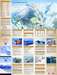
Alyeska Ski Trail Map
Official ski trail map of Alyeska ski area from the 2007-2008 season.
550 miles away
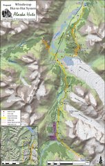
Whistlestop Proposed Hut System Map
Shows proposed huts along the Alaska Railroad’s Backcountry Whistlestop Project in Chugach...
563 miles away
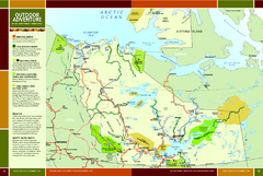
Northwest Territories Outdoor Adventure Map
Outdoor adventure map of Northwest Territories, Canada. Shows Heritage Rivers, Challenging Rivers...
565 miles away
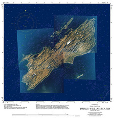
Green Island Map
Map of Green Island in Prince William Sound. Shows soundings in fathoms.
583 miles away
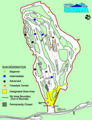
Mount Sima Ski Trail Map
Trail map from Mount Sima, which provides downhill skiing. This ski area has its own website.
592 miles away
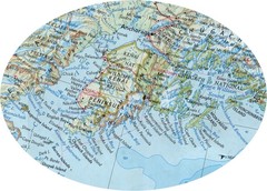
Alaska (Kenai Peninsula Map) Map
600 miles away
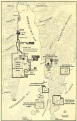
Resurrection Bay Area map
Recreation map for the Resurrection Bay area in Alaska
603 miles away
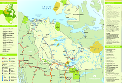
Northwest Territories Map
Overview map of Northwest Territories region, Canada
608 miles away
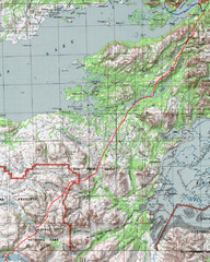
Alaska Peninsula Map
Map with trek route detail
619 miles away
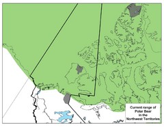
Polar Bear Range in Northwest Territories Map
623 miles away

Bering Strait Map
623 miles away
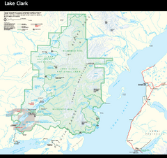
Lake Clark National Park & Preserve Park Map
Official NPS map of Lake Clark National Park & Preserve in Alaska. The park is open year-round...
631 miles away
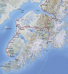
Kenai Peninsula, Alaska Map
632 miles away
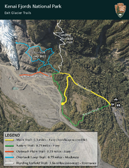
Kenai Fjords National Park Official Trail Map
Official NPS map of Kenai Fjords National Park in Alaska. Only shows hiking trails. Kenai Fjords...
635 miles away
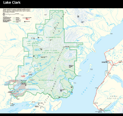
Lake Clark National Park and Preserve Map
Detailed map for Lake Clark National Park and Preserve
642 miles away
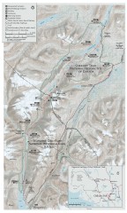
Chilkoot Trail Map
Trail map of the 33 mile Chilkoot Trail in Alaska, US and British Columbia, Canada. Lies in the...
651 miles away
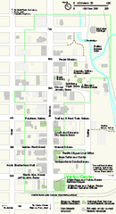
Klondike Gold Rush National Historical Park...
Official NPS map of Klondike Gold Rush National Historical Park in Alaska-Washington. Map shows all...
657 miles away

Homer, Alaska Map
663 miles away
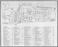
Nome, Alaska Map
673 miles away
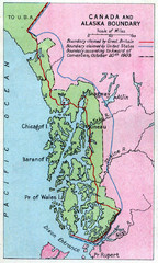
1903 Alaska boundary dispute Map
The Alaska Panhandle was object of a boundary dispute between USA and the Dominion of Canada...
677 miles away
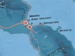
Map of Haines, Alaska
A map of Haines and the surrounding areas.
678 miles away
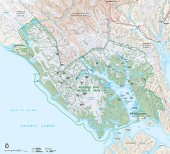
Glacier Bay National Park map
Detailed map of Glacier Bay National Park and Preservation in Alaska
691 miles away
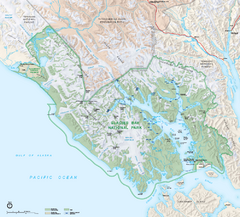
Glacier Bay National Park & Preserve Official...
Official NPS map of Glacier Bay National Park & Preserve in Alaska. Glacier Bay National Park...
694 miles away

Iliamna lake Map
Largest lake in Alaska
712 miles away

Bering Strait Map
712 miles away
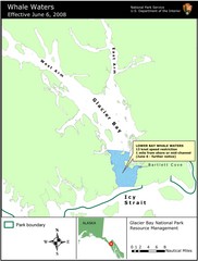
Glacier Bay National Park Whale Waters Map
Map of lower Glacier Bay whale waters include the waters extending from the mouth of Glacier Bay to...
722 miles away
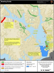
Boating on Glacier Bay National Park Guide Map
726 miles away

