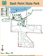
Dash Point State Park Map
Map of park with detail of trails and recreation zones
1629 miles away
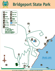
Bridgeport State Park Map
Map of park with detail of trails and recreation zones
1629 miles away
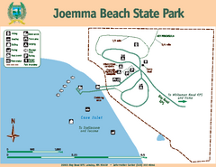
Joemma Beach State Park Map
Map of park with detail of trails and recreation zones
1629 miles away
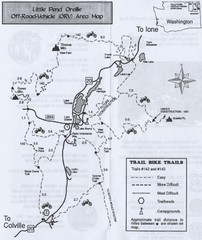
Little Pend Oreille Off Road Vehicle (ORV) Area...
Map of the Off Road Vehicle Area in Little Pend Oreille, Washington. Includes all bike trails...
1630 miles away
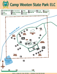
Camp Wooten State Park Map
Map of park with detail of trails and recreation zones
1631 miles away
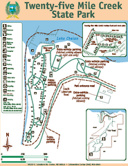
Twenty-Five Mile Creek State Park Map
Map of park with detail of trails and recreation zones
1631 miles away
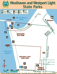
Westhaven/Westport Light State Parks Map
Map of park with detail of trails and recreation zones
1631 miles away
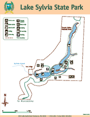
Lake Sylvia State Park Map
Map of island with detail of trails and recreation zones
1632 miles away
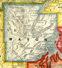
Mason County Washington, 1909 Map
1632 miles away
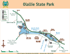
Olallie State Park Map
Map of park with detail of trails and recreation zones
1632 miles away
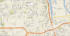
Tacoma, Washington City Map
1633 miles away
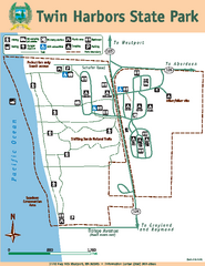
Twin Harbors State Park Map
Map of park with detail of trails and recreation zones
1634 miles away
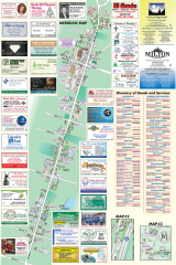
Milton tourist map
Tourist map of Milton, Washington. Shows all businesses.
1634 miles away
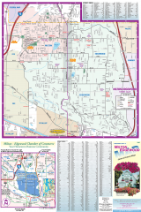
Milton and Edgewood tourist map
Tourist map of Milton and Edgewood, Washington. Shows all businesses.
1635 miles away
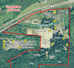
Grays Harbor County Straddleline ORV Park...
Park Map near Olympia
1636 miles away
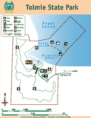
Tolmie State Park Map
Map of park with detail of trails and recreation zones
1636 miles away
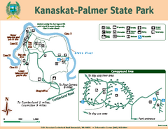
Kanaskat-Palmer State Park Map
Map of park with detail of trails and recreation zones
1636 miles away
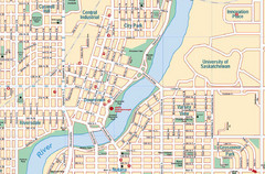
Saskatoon, Saskatchewan Tourist Map
1637 miles away
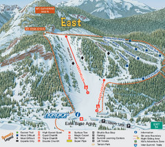
The Summit at Snoqualmie Summit East Ski Trail Map
Trail map from The Summit at Snoqualmie, which provides night and terrain park skiing. It has 30...
1637 miles away
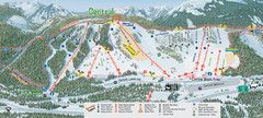
The Summit at Snoqualmie Summit Central Ski Trail...
Trail map from The Summit at Snoqualmie, which provides night and terrain park skiing. It has 30...
1637 miles away
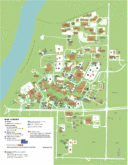
University of Saskatchwan Campus Map
Campus Map of the University of Saskatchwan in Canada. Includes all buildings and detailed parking...
1638 miles away
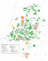
University of Saskatchewan Campus Map
Campus map of the University of Saskatoon in Saskatoon, Saskatchewan, Canada. Shows all buildings...
1638 miles away
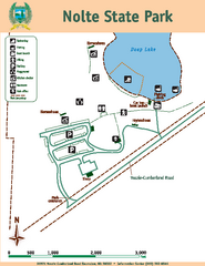
Nolte State Park Map
Map of park with detail of trails and recreation zones
1639 miles away
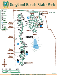
Grayland Beach State Park Map
Map of park with detail of trails and recreation zones
1639 miles away

Olympia Map
Map of downtown Olympia's parking and shuttle routes.
1639 miles away
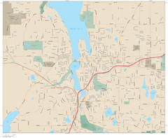
Olympia, Washington City Map
1639 miles away
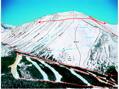
Castle Mountain Resort Ski Trail Map
Trail map from Castle Mountain Resort, which provides downhill skiing. This ski area has its own...
1640 miles away
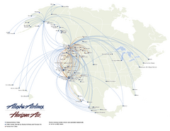
Alaska Airlines Route Map
1641 miles away
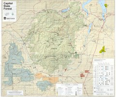
Capitol State Forest Map
1641 miles away
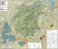
Capitol State Forest Map
Shows all trails in Capitol State Forest and surrounding area, including Lower Chehalis State...
1642 miles away
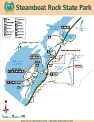
Steamboat Rock State Park Map
Map of park with detail of trails and recreation zones
1643 miles away
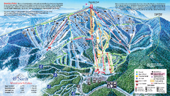
49 North Mountain Resort Ski Trail Map
Trail map from 49 North Mountain Resort, which provides downhill, night, nordic, and terrain park...
1645 miles away
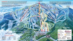
49 Degrees North Ski Trail Map
Official ski trail map of ski area from the 2007-2008 season.
1646 miles away
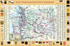
Washington State Winery Map
Washington State Winery Map
1647 miles away
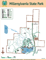
Millersylvania State Park Map
Map of park with detail of trails and recreation zones
1647 miles away
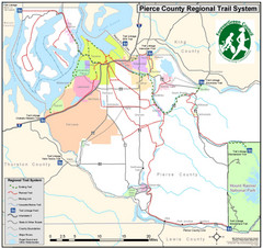
Pierce County Regional Trail Map
County-wide system of trails
1649 miles away
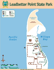
Leadbetter Point State Park Map
Map of park with detail of recreation zones and trails
1651 miles away
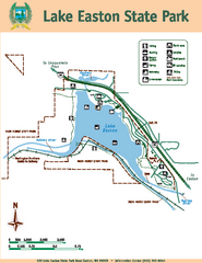
Lake Easton State Park Map
Map of island with detail of trails and recreation zones
1652 miles away
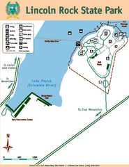
Lincoln Rock State Park Map
1654 miles away
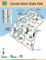
Lincoln Rock State Park Map
Map of park with detail of trails and recreation zones
1654 miles away

