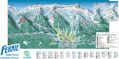
Fernie Mountain Trail Map
1616 miles away
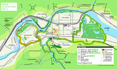
Fernie Town Trails Map
Trail map of recreational trails in and around town of Fernie, BC
1616 miles away
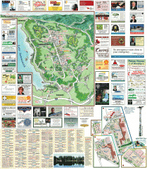
Sammamish tourist map
Sammamish, Washington tourist map. Shows all businesses.
1616 miles away
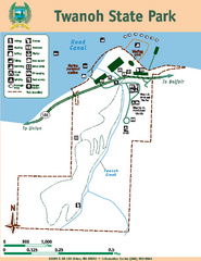
Twanoh State Park Map
Map of park with detail of trails and recreation zones
1617 miles away
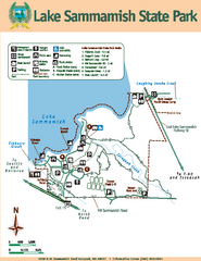
Lake Sammamish State Park Map
Map of island with detail of trails and recreation zones
1618 miles away
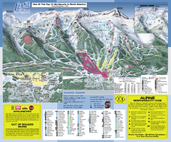
Fernie Alpine Resort Ski Trail Map
Trail map from Fernie Alpine Resort, which provides downhill and nordic skiing. This ski area has...
1618 miles away
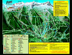
Fernie Alpine Resort 2007 Fernie Summer Map
Trail map from Fernie Alpine Resort, which provides downhill and nordic skiing. This ski area has...
1618 miles away
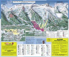
Fernie Ski Trail Map
Official ski trail map of Fernie ski area from the 2007-2008 season.
1618 miles away
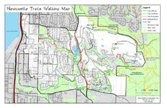
Newcastle Trails Trail Map
Trail map of existing and proposed trails in Newcastle, WA
1619 miles away
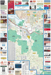
Issaquah tourist map
Issaquah, Washington tourist map. Shows all businesses.
1619 miles away
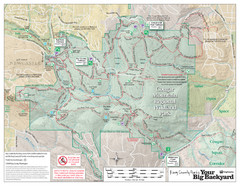
Cougar Mountain Park Trail Map
Trail map of Cougar Mountain Regional Wildland Park, part of the "Issaquah Alps"
1619 miles away
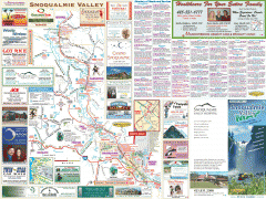
Snoqualmie Valley tourist map
Tourist map of the Snoqualmie Valley, Washington. Shows all businesses.
1620 miles away
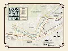
Iron Goat Trail Map
1620 miles away
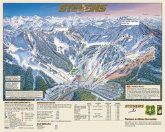
Stevens Pass Trail Map
1621 miles away
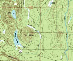
Fuller Mountain Topo Map
Fuller Mountain map with lakes, mountains and elevations identified.
1621 miles away
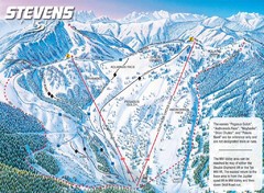
Stevens Pass Ski Area Stevens Pass Mill Valley...
Trail map from Stevens Pass Ski Area, which provides night and terrain park skiing. It has 8 lifts...
1621 miles away
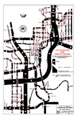
Renton WA Traffic Flow Map
City of Renton, WA traffic flow map
1621 miles away
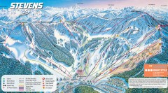
Stevens Pass Ski Trail Map
Official ski trail map of Stevens Pass ski area
1621 miles away
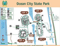
Ocean City State Park Map
Map of park with detail of trails and recreation zones
1622 miles away
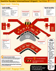
SeaTac Airport Map
1622 miles away
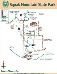
Squak Mountain State Park Map
Map of park with detail of trails and recreation zones
1622 miles away
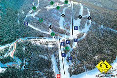
Pass Powderkeg Ski Trail Map
Trail map from Pass Powderkeg, which provides downhill skiing. This ski area has its own website.
1622 miles away
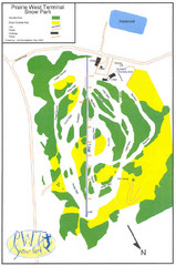
Prairie West Terminal Snow Park (Twin Towers) Ski...
Trail map from Prairie West Terminal Snow Park (Twin Towers), which provides downhill skiing. This...
1622 miles away
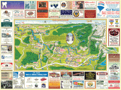
Snoqualmie tourist map
Snoqualmie, Washington tourist map. Shows all businesses.
1623 miles away
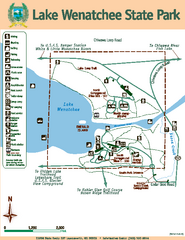
Lake Wenatchee State Park Map
Map of island with detail of trails and recreation zones
1623 miles away
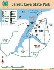
Jarrell Cove State Park Map
Map of park with detail of trails and recreation zones
1624 miles away
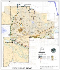
Snoqualmie Trail Map
Shows both soft surface and paved trails for biking, running/hiking/wailking, and horseback riding
1624 miles away

Tourist map of Downtown Des Moines, Washington
Tourist map of Downtown Des Moines, Washington. Shows all businesses.
1624 miles away

Des Moines Washington tourist map
Tourist map of Des Moines, Washington, including Kent and SeaTac airport.
1624 miles away
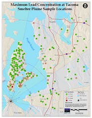
Tacoma Lead Concentration Map
A map of maximum lead concentrations near Tacoma.
1624 miles away
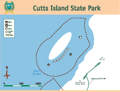
Cutts Island Stay Park Map
Map of park with detail of trails and recreation zones
1624 miles away
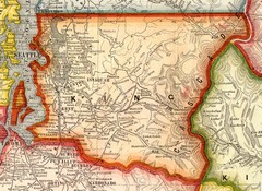
King County Washington, 1909 Map
1625 miles away
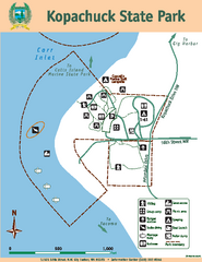
Kopachuck State Park Map
Map of island with detail of trails and recreation zones
1625 miles away

Wapiti Valley Ski Trail Map
Trail map from Wapiti Valley, which provides downhill skiing. This ski area has its own website.
1625 miles away
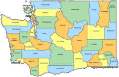
Washington State Counties Map
1626 miles away
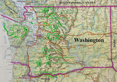
Washington State Road and Recreation Map
1626 miles away
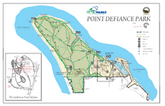
Point Defiance Park Map
1627 miles away
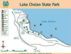
Lake Chelan State Park Map
Map of island with detail of trails and recreation zones
1627 miles away
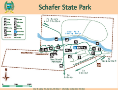
Schafer State Park Map
Map of park with detail of trails and recreation zones
1627 miles away
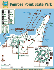
Penrose Point State Park Map
Map of park with detail of trails and recreation zones
1627 miles away

