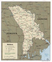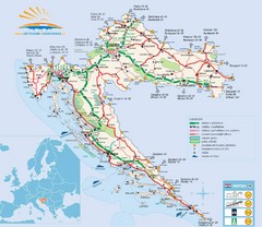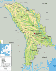
Moldova - Physical Map
318 miles away
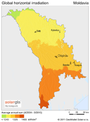
Solar Radiation Map of Moldova
Solar Radiation Map Based on high resolution Solar Radiation Database: SolarGIS. On the Solar Map...
318 miles away
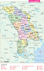
Moldavie Map
318 miles away
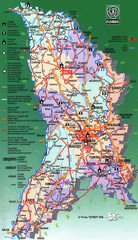
Moldova Tourist Map
Tourist map of Moldova. Shows major roads, rivers, monuments, fortresses, churches, and monastaries.
318 miles away
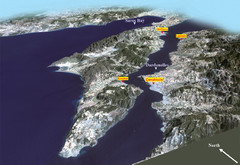
The Dardanelles Oblique Map
319 miles away
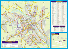
Chisinau Public Transportation Map
Public Transportation map of Chisinau, Moldova with street index. Shows bus routes. Inset of...
319 miles away
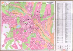
Chisinau City Map
Tourist map of capital city
319 miles away
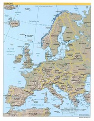
Europe relief Map
Map of Europe showing mountains, cities, countries and borders
320 miles away
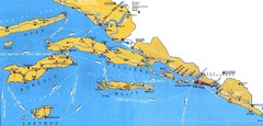
Dubrovnik Region Map
321 miles away
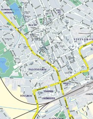
Székesfehérvár City Map
City Map of Székesfehérvár
322 miles away
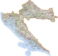
Croatia Tourist Map
Map of Croatia's roads, cities, and areas
323 miles away
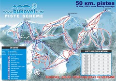
Bukovel Ski Resort Map
Map of Bukovel's slopes, lifts and resort
326 miles away
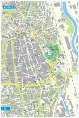
Kosice Tourist Map
Tourist map of Kosice, Slovakia. Shows points of interest.
328 miles away
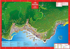
Podgora map
332 miles away
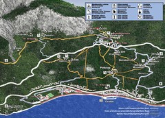
Tucepi Tourist Map
333 miles away
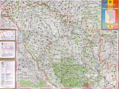
Moldova Topographical Map - North
Detailed topo map of northern Republic of Moldova. In Ukrainian.
333 miles away
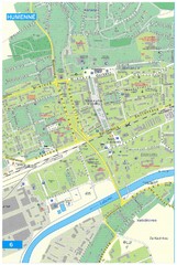
Humenne Tourist Map
Tourist map of Humenne, Slovakia. Shows all points of interest.
333 miles away
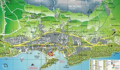
Makarska Tourist Map
334 miles away
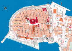
Korcula Tourist Map
Tourist map of old town Korcula, Croatia
335 miles away
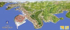
Korcula Tourist Map
Panoramic tourist map of town of Korcula, Croatia and surroundings. From korculainfo.com: "...
335 miles away
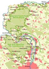
Duna-Ipoly Nemzeti Park Map
Overview map of Duna-Ipoly Nemzeti Park (Danube-Ipoly National Park) north of Budapest, Hungary
336 miles away
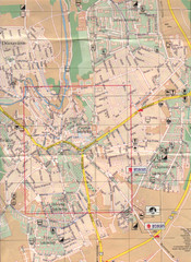
Veszprem City Map
City map of Veszprem, Hungary. Scanned.
337 miles away
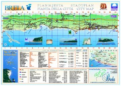
Brela Tourist Map
Tourist map of Brela, Croatia. Shows street index and list of hotels.
337 miles away
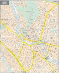
Trikala Street Map
Street map of central Trikala, Greece. In Greek and English. Scanned.
338 miles away
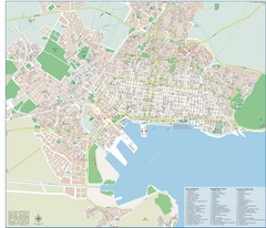
Volos Tourist Map
Tourist map of Volos, Greece. Shows points of interest and some conference info.
339 miles away
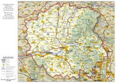
Duna-Ipoly Nemzeti National Park Map
Reference map of Duna-Ipoly Nemzeti National Park and surrounding area north of Budapest, Hungary
340 miles away
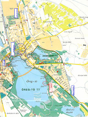
Tatai Öreg-tó Map
343 miles away
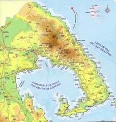
Pelion Tourist Map
Tourist map of Pelion region of Greece including city of Volos. Shows points of interest. Scanned.
345 miles away
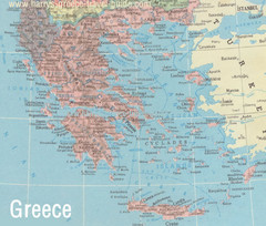
Big Greece Map
345 miles away

Travel Around the Black Sea Map
Traveling around the Black Sea
347 miles away

Island of Hvar Map
Map of the Island Hvar, Croatia showing roads and cities.
347 miles away
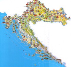
Tourist Map of Croatia
347 miles away

Hvar Island Map
Nautical map of the island of Hvar. Town of Sucuraj highlighted.
348 miles away
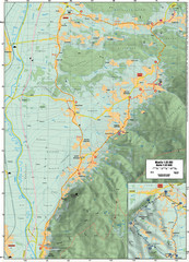
Cycling Paths in Croatia - Medvednica Nature Park...
Bike Paths and Routes for the picturesque western foothills of Medvednica Nature Park. Note: The...
352 miles away
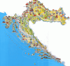
Croatia Tourist Map
Cool illustrated tourist map highlights significant tourist destinations with drawings of buildings...
352 miles away
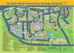
istanbul techical university İTÜ ayazaga...
352 miles away

