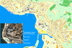
Portorož Lodging Map
497 miles away
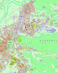
Map of Nova Gorica, Slovenia
498 miles away

Umag Tourist Map
Tourist map of Umag, Croatia. Shows restaurants and lodging.
500 miles away
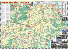
Zwolen_county_folded_map_POLAND Map
Zwolen county, paper folded map Scale 1: 70 000 Projection UTM/WGS84, GPS compatibile verified...
500 miles away
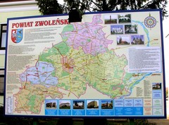
Zwolen county street map
Zwolen county - street map Big size 200 x 300 cm waterproof map
500 miles away
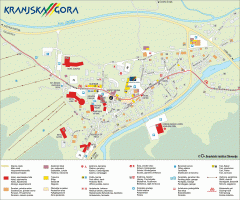
Kranjska Gora town map
Blurb from town website: The Zgornjesavska Valley is one of the most breathtaking alpine valleys...
500 miles away
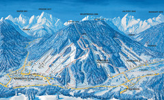
Kranjska Gora Ski Trail Map
Ski trail map of Kranjska Gora ski area.
500 miles away
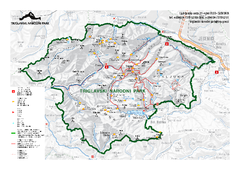
Triglav National Park Map
Triglav National Park is the only Slovenian national park. The park was named after Triglav, the...
500 miles away
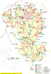
Parco Nazionale della Majella Trail Map
Trail map of Majella National Park (Parco Naz. della Majella) in Italy. Indicates under revision...
501 miles away
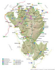
Parco Nazionale della Majella Map
General map of Majella National Park (Parco Naz. della Majella) in Italy. In Italian.
502 miles away
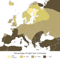
Europe Blond Hair Map
Shows percentage of light hair in Europe.
502 miles away
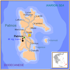
Patmos Map
503 miles away
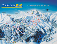
Turracher Höhe Ski Trail Map
Trail map from Turracher Höhe.
503 miles away

Ukraine Places of Interest Map
Overview map of Ukraine. Shows places of interest. Inset map shows administrative and territorial...
503 miles away
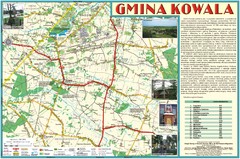
Kowala_Mazovia_poland.jpg Map
Map of Kowala_Mazovia_poland.jpg is a Kowala commune map, created with use of GlobalMapper and...
503 miles away
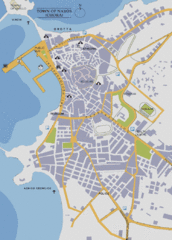
Naxos Town Map
Simplified tourist map of town of Naxos, Greece.
503 miles away
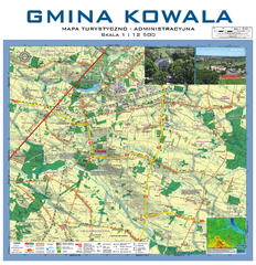
Kowala Commune - near Radom, PL Map
Kowala-Stepocina Commune - the administrative and touristic wall map, scala 1:12500, with 3D effect...
504 miles away
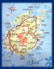
Paros Island Map
Overview map of island of Paros, Greece. Photo of paper map.
504 miles away
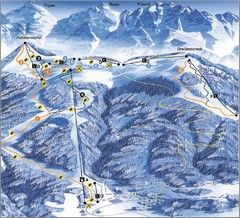
Arnoldstein—Dreiländereck Ski Trail Map
Trail map from Arnoldstein—Dreiländereck, which provides downhill skiing. It has 8 lifts. This...
504 miles away
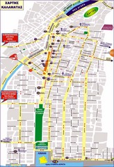
Kalamata Tourist Map
Tourist map of central Kalamata, Greece. Shows points of interest. In Greek.
505 miles away
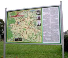
Policzna_Zwolen_Poland.jpg Map
Map of Policzna_Zwolen_Poland.jpg is another "all-proof" street map. 5 years on site...
506 miles away
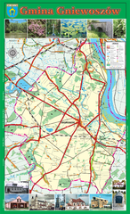
GNIEWOSZOW commune map, PL Map
Gniewoszow commune map Ed. 2007
506 miles away
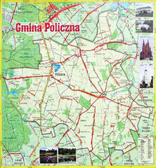
Policzna Commune Street Map
POLICZNA Commune, street map Ed. 2008 Size 2000 x 1250 mm Waterproof print-out verified for...
506 miles away
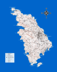
Sifnos Topo Map
Topographical map of the island of Sifnos, Greece. Shows tourist points of interest.
507 miles away
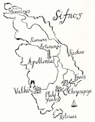
Sifnos wedding map
507 miles away

Teramo Map
508 miles away
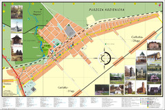
Garbatka_Letnisko_Poland.jpg Map
Map of Garbatka_Letnisko_Poland.jpg is a "city-village" plan. I do love to enter photos...
508 miles away
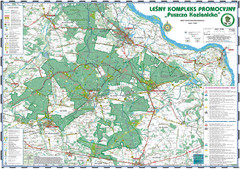
PuszczaKozienicka tourist map
LKP - Lesny Kompleks Promocyjny - PuszczaKozienicka - tourist map Ed. 2010 Projection: UTM/WGS84...
509 miles away

Sulmona vicinity Map
509 miles away
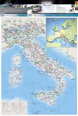
Italy Physical Map
High quality physical map of Italy, with shaded relief. Inset shows Italy in context of Europe.
509 miles away
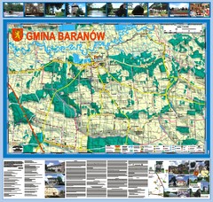
Baranow count wall map, PL Map
Baranow commune in Pulawy county, PL 3D big size wall map, surrounded by photos from Baranow area...
510 miles away

Sulmona Map
510 miles away

Ascoli Piceno city map
510 miles away

Ascoli Piceno centro Map
510 miles away
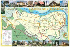
Sieciechow, Poland, Mazovia Map
Sieciechow commune map, Mazovia, PL
511 miles away
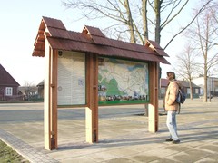
Sieciechow commune street map, PL Map
Sieciechow commune - street map Ed. 2007 Size 2000 x 1000 mm Type: administratie and touristic map
511 miles away
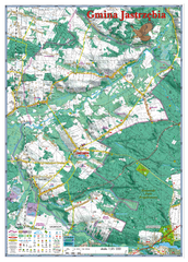
Jastrzebia commune 3D Map
Jastrzebia commune - 3D map Ed. 2010 Projection UTM/WGS84 Scale 1:25 000 Mede with extensive use...
511 miles away
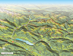
Nockberge National Park Map
Outline map of Nockberge National Park, Austria in the summer. Shows surrounding towns.
512 miles away

