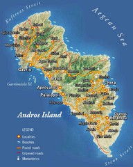
Andros Island Tourist Map
Tourist Map of Andros, Greece showing roads, towns, beaches.
447 miles away
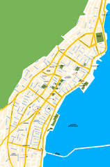
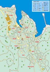
Argostoli City Map
Simple street map of island city of Argostoli, Kefalonia, Greece. Some points of interest shown.
450 miles away
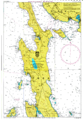
Cres hajózási Map
452 miles away
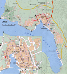
Cres City Map
City map of Cres, Island of Cres, Croatia.
454 miles away
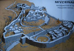
Ancient Mycenae Map
Map of Prehistoric reconstruction of edifices in Mycenae Corfu - green island of Greece
454 miles away
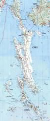
Cres & Losinj Island Map
Tourist map of island of Cres and island of Losinj, Croatia.
454 miles away

Cres Island Map
Road map of island of Cres, Croatia. Biggest island in Croatia.
454 miles away
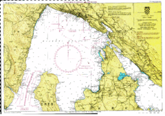
Rijeka hajózási Map
454 miles away
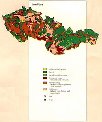
Czechoslovakia Land Use Map
Map of Czechoslovakia region land use
458 miles away
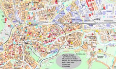
Ljubljana City Map
City map of Ljubljana, Slovenia. Shows some points of interest.
459 miles away
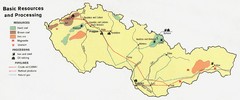
Czechoslovakia Resources Map (1974)
Map of 1974 Czechoslovakia resources
459 miles away
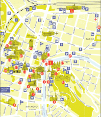
Ljubljana Slovenia Tourist Map
Tourist Map of Ljubljana Slovenia showing sites and roads of the city.
459 miles away
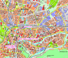
Ljubljana Tourist Map
Tourist map of central Ljubljana, Slovenia.
459 miles away
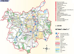
Ostrava Tourist Map
Tourist map of Ostrava, Czech Republic. Shows points of interest.
460 miles away
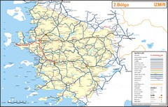
Izmir Region Highways Map
462 miles away
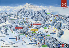
Annaberg Ski Trail Map
Trail map from Annaberg.
466 miles away
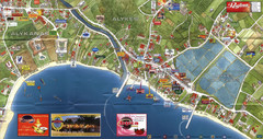
Alykanas and Alykes Map
Tourist map of Alykanas and Alykes, Zakynthos Island, Greece. Shows businesses.
467 miles away
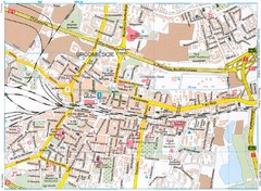
Katowice Tourist Map
Tourist map of central Katowice, Poland. Shows points of interest.
467 miles away
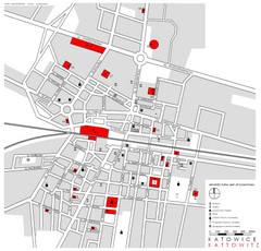
Kattowitz Tourist Map
Tourist map of Kattowitz, Poland. Shows points of interest.
467 miles away
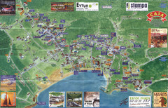
Tsilivi Tourist Map
Tourist map of town of Tsilivi, Zakynthos Island, Greece. Shows businesses. Scanned
467 miles away
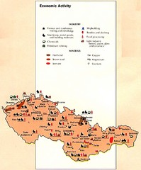
Czechoslovakia Economic Activity Map
Map of economic activity throughout region
469 miles away
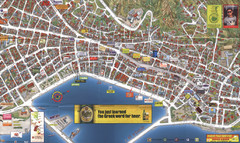
Zakynthos Town Map
Detailed tourist map of Zakynthos Town, Zakynthos Island, Greece. Shows businesses.
469 miles away
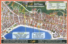
Zakynthos City Tourist Map
Tourist map of Zakynthos city on Zakynthos Island. Shows major points of interest and bus routes...
469 miles away
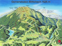
Mitterbach-Gemeindalpe Summer Ski Trail Map
Trail map from Mitterbach-Gemeindalpe.
469 miles away
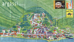
Argassi Tourist Map
Tourist map of Argassi, Zakynthos Island, Greece. Shows all businesses. Scanned.
470 miles away
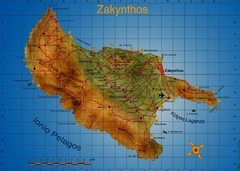
Zakynthos Tourist Map
Tourist map of island of Zakynthos, Greece. Shows points of interest. Scanned.
470 miles away
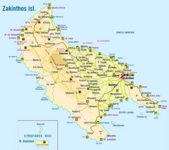
Zakinthos Tourist Map
Tourist map of island of Zakinthos, Greece. Shows symbols for tourist activities.
470 miles away
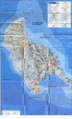
Zakynthos Island Map
Detailed map of Zakynthos Island. Scanned
471 miles away
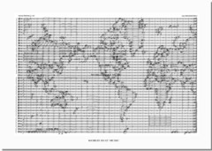
World Music Map
A world map made out of musical notation.
471 miles away
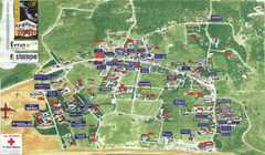
Kalamaki Zakynthos Tourist Map
Tourist map of town of Kalamaki on Zakynthos Island. Scanned.
471 miles away
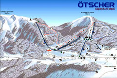
Ötscher Lackenhof Ski Trail Map
Trail map from Ötscher Lackenhof.
473 miles away
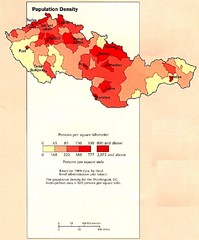
Czechoslovakia Population Density Map
Map of Czechoslovakia's population density
473 miles away
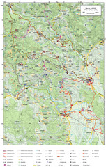
Krašić Bike Trail Map
Bike routes of the Krašić-Vivodina region.
473 miles away

Brno Czech Republic Mass Transit Map
Mass Transit map showing all routes and stops in Brno, Czech Republic.
475 miles away
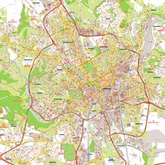
Brno Tourist Map
Tourist map of Brno, Czech Republic. Shows central Brno and surrounding area.
475 miles away
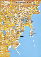
Ermoupolis Map
477 miles away

