Happy Valley Oregon Road Map
106 miles away

Coupeville tourist map
Tourist map of Coupeville, Washington. Shows all businesses.
106 miles away

BANKS-VERNONIA STATE TRAIL Map
106 miles away
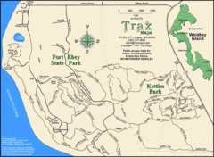
Ft Ebey/Kettle Park Trail Map
Trail map of Fort Ebey Park and Kettle Park, Washington
107 miles away
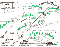
Summit Ski Area Ski Trail Map
Trail map from Summit Ski Area.
107 miles away
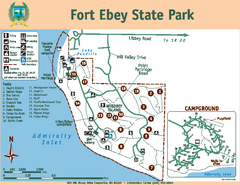
Fort Ebey State Park Map
Map of park with detail of trails and recreation zones
108 miles away
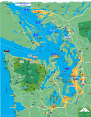
Seattle Ferry Guide Map
Map of ferries around Seattle, Puget Sound and Olympic Peninsula
108 miles away

Mt. Hood SkiBowl Ski Trail Map
Trail map from Mt. Hood SkiBowl.
108 miles away
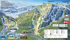
Mt. Hood Skibowl Ski Trail Map
Official ski trail map of ski area from the 2007-2008 season.
108 miles away
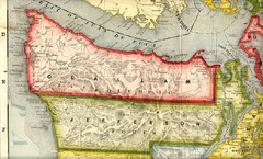
Clallam and Jefferson Counties Washington, 1909...
109 miles away

Oak Harbor tourist map
Tourist map of Oak Harbor, Washington. Shows all businesses.
109 miles away
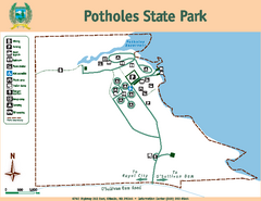
Potholes State Park Map
Map of park with detail of trails and recreation zones
110 miles away

Lake Oswego Oregon Road Map
110 miles away

Tigard Oregon Road Map
112 miles away
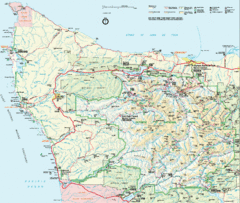
Olympic National Park Map
112 miles away
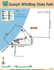
Joseph Whidbey State Park Map
Map of park with detail of trails and recreation zones
112 miles away
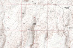
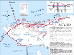
Astoria Oregon Map
A detailed topographic map of Astoria, Oregon and the Columbia River.
113 miles away
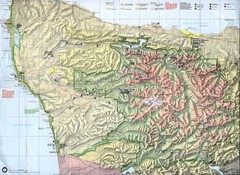
Olympic National Park Map
113 miles away
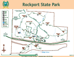
Rockport State Park Map
Map of park with detail of trails and recreation zones
113 miles away
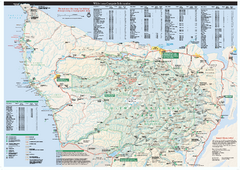
Olympic National Park wilderness campsite map
Official wilderness campsite map of Olympic National Park. Shows roads, trails, visitor...
114 miles away
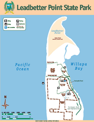
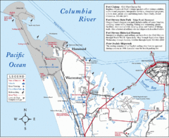
Leadbetter Point State Park Map
Map of park with detail of recreation zones and trails
114 miles away

King City Oregon Road Map
114 miles away
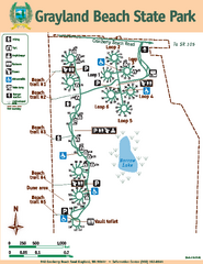
Grayland Beach State Park Map
Map of park with detail of trails and recreation zones
115 miles away
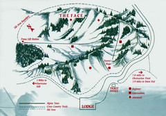
Hurricane Ridge Ski Trail Map
Trail map from Hurricane Ridge.
115 miles away
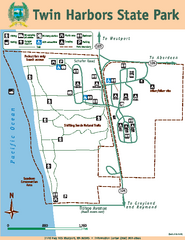
Twin Harbors State Park Map
Map of park with detail of trails and recreation zones
115 miles away
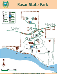
Rasar State Park Map
Map of park with detail of trails and recreation zones
116 miles away
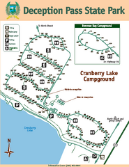
Deception Pass State Park Map
Map of park with detail of trails and recreation zones
116 miles away
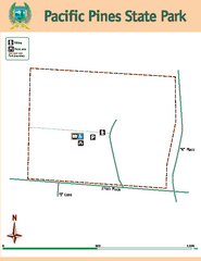
Pacific Pines State Park Map
Map of park with detail of trails and recreation zones
116 miles away
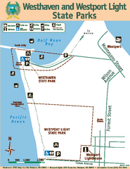
Westhaven/Westport Light State Parks Map
Map of park with detail of trails and recreation zones
116 miles away
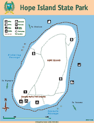
Hope Island State Park Map
Map of park with detail of trails and recreation zones
116 miles away
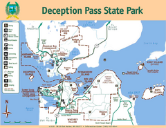
Deception Pass State Park Map
Map of park with detail of trails and recreation zones
116 miles away
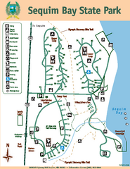
Sequim Bay State Park Map
Map of park with detail of trails and recreation zones
117 miles away
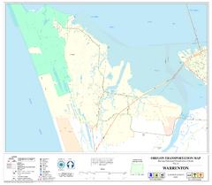
Warrenton Oregon Road Map
117 miles away
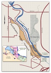
JackRabbit Ridge Natural Area Map
Shows urban wildlands
118 miles away
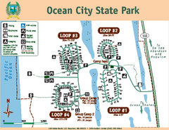
Ocean City State Park Map
Map of park with detail of trails and recreation zones
118 miles away
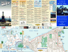
Fidalgo Island tourist map
Tourist map of Fidalgo Island in Anacortes, Washington. Shows recreation and points of interest.
118 miles away
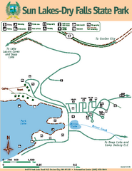
Sun Lakes-Dry Falls State Park Map
Map of park with detail of trails and recreation zones
120 miles away
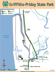
Griffiths-Priday State Park Map
Griffiths-Priday State Park
120 miles away

