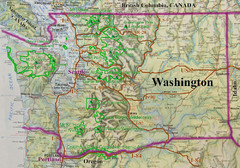
Washington State Road and Recreation Map
76 miles away
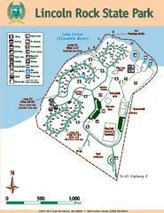
Lincoln Rock State Park Map
Map of park with detail of trails and recreation zones
76 miles away
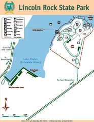
Lincoln Rock State Park Map
76 miles away
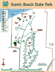
Scenic Beach State Park Map
Map of park with detail of trails and recreation zones
78 miles away
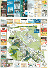
Mukilteo tourist map
Mukilteo, Washington tourist map. Shows all businesses.
78 miles away
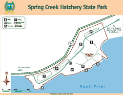
Spring Creek Hatchery State Park map
Map of park with detail of trails and recreation zones
78 miles away
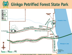
Ginkgo Petrified Forest State Park Map
Map of park with detail of trails and recreation zones
79 miles away
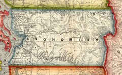
Snohomish County Washington, 1909 Map
79 miles away
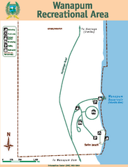
Wanapum Recreational Area Map
Map of park with detail of trails and recreation zones
80 miles away
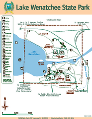
Lake Wenatchee State Park Map
Map of island with detail of trails and recreation zones
80 miles away
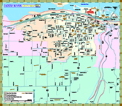
Hood River Map
Tourist map of city of Hood River, Oregon.
80 miles away
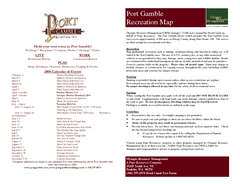
Stottlemeyer trails Map
80 miles away
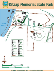
Kitsap Memorial State Park Map
Map of island with detail of trails and recreation zones
81 miles away
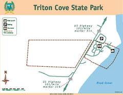
Triton Cove State Park Map
Map of park with detail of trails and recreation zones
81 miles away

Centennial Trail Map
81 miles away
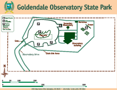
Goldendale State Park Map
Map of park with detail of trails and recreation zones
81 miles away
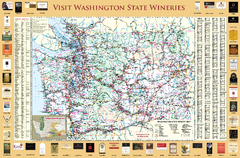
Washington State Winery Map
Washington State Winery Map
81 miles away
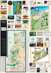
Mukilteo tourist map
Greater Mukilteo, Washington tourist map. Shows all businesses.
81 miles away
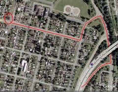
19th and Walnut in Everett, WA Map
82 miles away
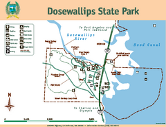
Dosewallips State Park Map
Map of park with detail of trails and recreation zones
82 miles away

Centennial Trail Map
Centennial Trail has 23 miles completed (Snohomish to Bryant) with more in progress.
82 miles away
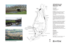
Spencer Island Park map
82 miles away
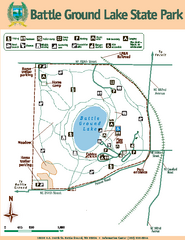
Battle Ground Lake State Park Map
Map of park with detail of trails and recreation zones
82 miles away
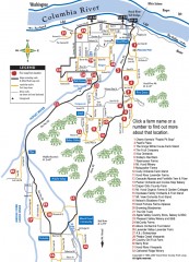
Hood River County Fruit Loop map
35-mile scenic drive through the valley's orchards, forests, farmlands, and friendly...
83 miles away
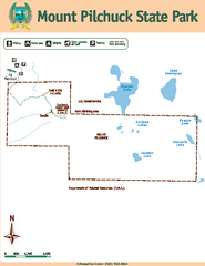
Mount Pilchuck State Park Map
Map of park with detail of trails and recreation zones
84 miles away
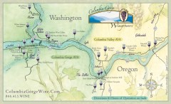
Columbia Gorge Wine Map
Wineries of the Columbia River Gorge area, Oregon.
85 miles away
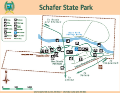
Schafer State Park Map
Map of park with detail of trails and recreation zones
86 miles away
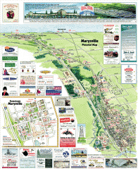
Marysville tourist map
Tourist map of Marysville, Washington. Shows all businesses.
87 miles away

South Whidbey Island tourist map
Tourist map of South Whidbey Island, Washington. Shows all businesses.
87 miles away
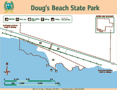
Dougs Beach State Park Map
Map of park with detail of trails and recreation zones
87 miles away
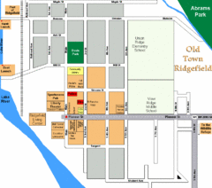
Guide Map of Old Town Ridgefield
Guide Map of Old Town Ridgefield, Washington
88 miles away

South Whidbey tourist map
Tourist map of South Whidbey, Washington. Shows all businesses.
89 miles away
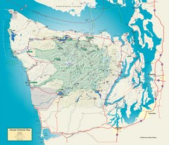
Olympic National Park and Peninsula Map
Guide to the Olympic National Park and surrounding region
90 miles away
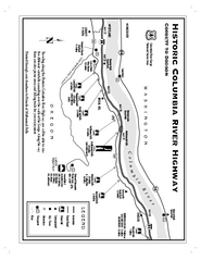
Historic Columbia River Highway Map
Official map from the US Forest Service. Shows the Corbett to Dodson stretch of Highway 30 with...
91 miles away
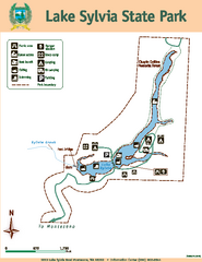
Lake Sylvia State Park Map
Map of island with detail of trails and recreation zones
91 miles away
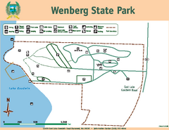
Wenberg State Park Map
Map of park with detail of trails and recreation zones
93 miles away
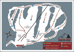
Cooper Spur Ski Area Ski Trail Map
Trail map from Cooper Spur Ski Area.
94 miles away

Whidbey Island tourist map
Tourist map of Whidbey Island and Coupeville, Washington. Shows all businesses.
94 miles away
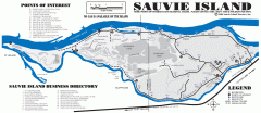
Sauvie Island tourist map
Tourist map of Sauvie Island in Oregon. Shows all businesses and points of interest.
95 miles away
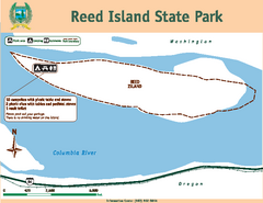
Reed Island State Park Map
Map of park with detail of trails and recreation zones
95 miles away

