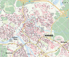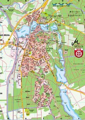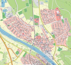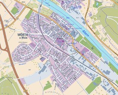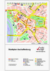
Aschaffenburg Tourist Map
Tourist street map of Aschaffenburg
169 miles away
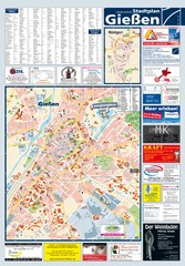
Giessen Tourist Map
Tourist map of Giessen and surrounding area
169 miles away
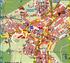
Gladenbach Map
Street map of town of Gladenbach
169 miles away
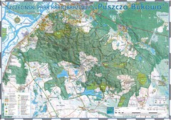
Map_Puszcza_Bukowa_Szczecin_PL.jpg Map
Map Map_Puszcza_Bukowa_Szczecin_PL.jpg is a tourist map made with an extensive use of GlobalMapper...
170 miles away
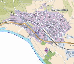
Dorfprozelten Map
Street map of Dorfprozelten
170 miles away
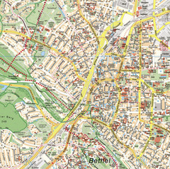
Bielefeld Street Map
Street map of central Bielefeld, Germany. Shows some points of interest.
171 miles away
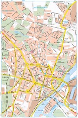
Szczecin Tourist Map
Tourist map of central Szczecin, Poland. Shows points of interest.
171 miles away
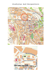
Bad Mergentheim Map
Street map of Bad Mergentheim
172 miles away
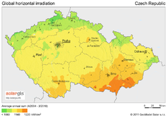
Solar Radiation Map of Czech republic
Solar Radiation Map Based on high resolution Solar Radiation Database: SolarGIS. On the Solar Map...
172 miles away
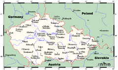
Czech Republic Tourist Map
172 miles away
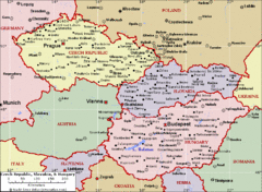
Czech Republic Tourist Map
172 miles away
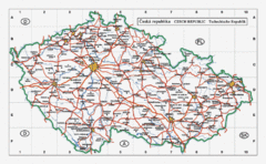
Czech Republic Country Map
Map of Czech Republic, roads, and major cities.
172 miles away
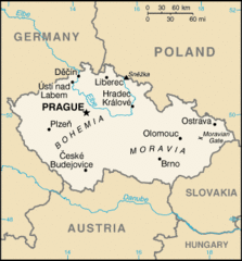
Czech Republic Country Map
Country of Czech Republic, and surrounding countries.
172 miles away
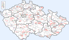
Czech Castles Map
Shows castles in the Czech Republic
172 miles away
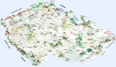
Czech Republic Tourist Map
Tourist map of the Czech Republic
172 miles away
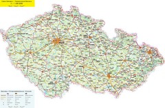
Czech Republic Road Map
Road map of the Czech Republic. Legend in Czech, German, and English.
172 miles away
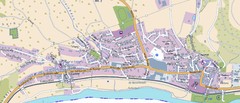
Collenberg Map
Street map of town of Collenberg
173 miles away
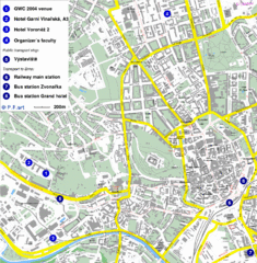
Czech Republic Tourist Map
Czech Republic Tourist Map. Includes roads, landmarks and street names.
173 miles away
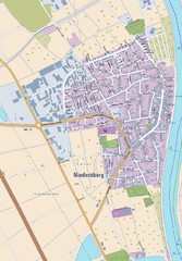
Niedernberg Map
Street map of Niedernberg
173 miles away

Butzbach Tourist Map
Tourist map of city of Butzbach
173 miles away
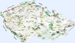
Czech Republic Castle map
Castle map of the Czech Republic
174 miles away
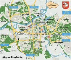
Pardubice Tourist Map
Tourist map of Pardubice, Czech Republic
174 miles away
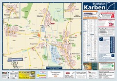
Karben Tourist Map
Tourist map of Karben and surrounding region
175 miles away
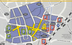
Parking Spots in Downtown Gutersloh Map
175 miles away
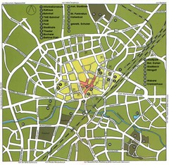
Gütersloh Map
Street tourist map of Gütersloh
176 miles away
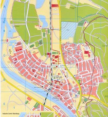
Erlenbach Map
Street map of town of Erlenbach
177 miles away
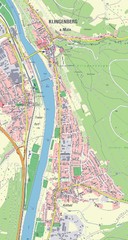
Klingenberg Map
Map of Klingenberg and surrounding region
177 miles away
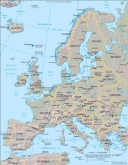
Europe Physical Map
177 miles away
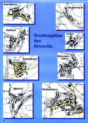
Treuchtlingen Districts Map
Street map of districts within the Treuchtlingen region
177 miles away
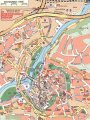
Wetzlar Center Map
Street map of town center of Wetzlar
177 miles away
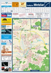
Wetzlar Tourist Map
Tourist map of Wetzlar and surrounding region
177 miles away
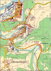
Pappenheim Map
Street map of Pappenheim
178 miles away
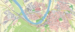
Miltenberg Map
Map of Miltenberg and surrounding area
178 miles away
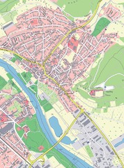
Grossheubach Map
Street map of Grossheubach
178 miles away
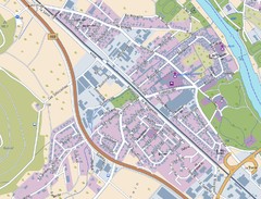
Kleinheubach Map
Street map of Kleinheubach
178 miles away
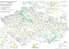
Elevation Railway Map of Czech Republic
Elevation of railways and main stations in Czech republic. Blue numbers show elevation of stations...
178 miles away

