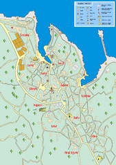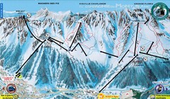
Chamonix—La Flegère Ski Trail Map
Trail map from Chamonix—La Flegère.
451 miles away
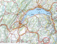
Chamonix Location Map
451 miles away
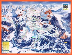
Flaine Map
Guide to Ski Resorts in the French Alps near Flaine
451 miles away

Chamonix Valley Town Map
Map of Chamonix Valley and ski locations
451 miles away
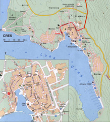
Cres City Map
City map of Cres, Island of Cres, Croatia.
451 miles away
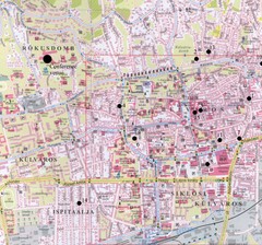
Pecs City Map
451 miles away
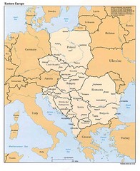
Eastern European Map
Map of Eastern Europe, Poland to Bulgaria
452 miles away
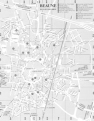
Beaune environs Map
452 miles away
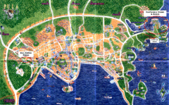
Pula Tourist Map
Tourist map of Pula, Croatia. Bus station highlighted. Scanned.
452 miles away

Beaune index for gen & hist maps Map
452 miles away
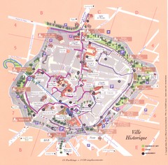
Beaune ville historique Map
452 miles away

Beaune plan general Map
452 miles away

Beaune centre Map
452 miles away
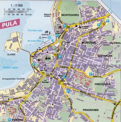
Pula City Map
City map of Pula, Croatia. Shows major streets.
453 miles away
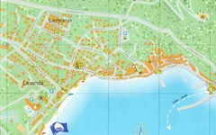
Baska Krk Tourist Map
Tourist map of Baska Krk, Croatia. Scanned.
454 miles away
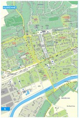
Humenne Tourist Map
Tourist map of Humenne, Slovakia. Shows all points of interest.
454 miles away
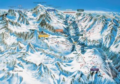
Chamonix Piste Ski Area Trail Map
456 miles away
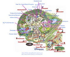
Disneyland Paris Guide Map
Locations and attractions at Disneyland Paris.
458 miles away
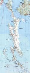
Cres & Losinj Island Map
Tourist map of island of Cres and island of Losinj, Croatia.
458 miles away

Cres Island Map
Road map of island of Cres, Croatia. Biggest island in Croatia.
458 miles away
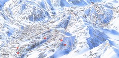
Combloux Trail Map
Ski trail map
458 miles away
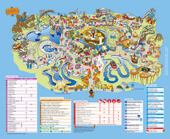
Asterix Park Map
Theme park map of Asterix Park in Paris, France
459 miles away
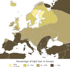
Europe Blond Hair Map
Shows percentage of light hair in Europe.
459 miles away
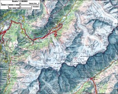
Mont Blanc topographic map
topo map of Mont Blanc, France; highest point in the Alps
460 miles away

14th Century Northern Europe Map
461 miles away
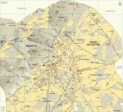
Megeve Village Map
Detailed map of Megève village, France shows roads, building outlines, and in-town ski lifts.
461 miles away
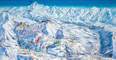
Le Grand Bornand Ski Trail Map
Trail map from Le Grand Bornand.
461 miles away
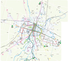
Parma Bus Lines Map
462 miles away

Parma Map
462 miles away

Parma centro storico Map
462 miles away
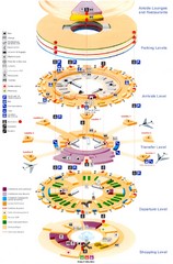
Charles de Gaulle Airport Map
463 miles away
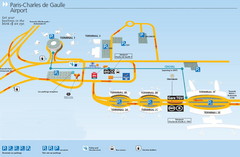
Charles de Gaulle Airport Map
463 miles away
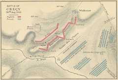
Battle of Crecy Map
Battlefield map of Crecy, France, August 28th 1346 during the Hundred Years War.
464 miles away

Great Yarmouth District England Map
Map of Great Yarmouth & the Norfolk Broads showing major roads and cities.
465 miles away
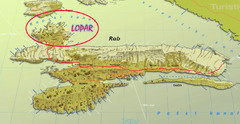
Rab Island Map
Shows beaches on Rab Island, Croatia
467 miles away
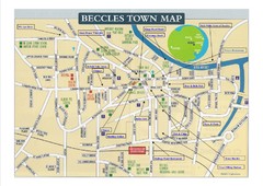
Beccles Town Map
467 miles away
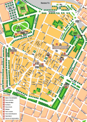
Modena Tourist Map
Tourist map of center of Modena, Italy. Shows points of interest.
468 miles away
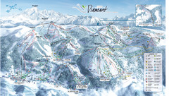
Crest Voland Ski Trail Map
Trail map from Crest Voland.
468 miles away
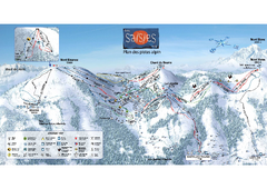
Les Saisies Ski Trail Map
Trail map from Les Saisies.
469 miles away

