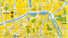
North Bruges Map
Map of northern part of Bruges city
395 miles away
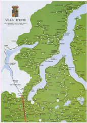
Lake Como Map
Map of lake with detail of surrounding towns
396 miles away
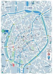
Brugge Tourist Map
Tourist map of Brugges, Belgium. Shows buildings and streets.
396 miles away
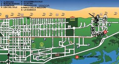
bibione - lido del sole Map
bibione & bibione lido del sole
396 miles away
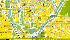
South Bruges Map
Map of the southern part of Bruges city
396 miles away
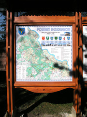
Kozienice_County_Poland_Streetmap.jpg Map
Street Map of Kozienice_County_Poland_Streetmap.jpg is added here because of the interesting wooden...
396 miles away
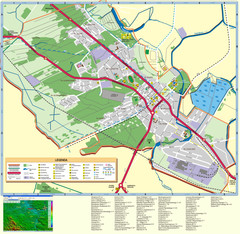
Kocienice_City_Plan-POLAND Map
Plan of City of Kozienice, PL
396 miles away
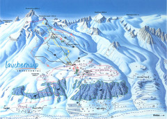
Lötschental (Wiler) Ski Trail Map
Trail map from Lötschental (Wiler), which provides downhill skiing.
397 miles away
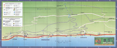
Brenzone Map
397 miles away
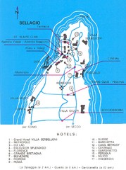
Bellagio Map
397 miles away
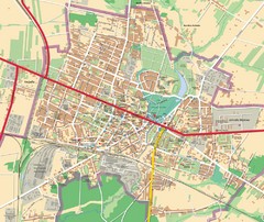
Mińsk Mazowiecki City Map
City map of Mińsk Mazowiecki, Poland
398 miles away
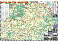
Zwolen_county_folded_map_POLAND Map
Zwolen county, paper folded map Scale 1: 70 000 Projection UTM/WGS84, GPS compatibile verified...
398 miles away
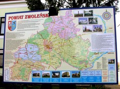
Zwolen county street map
Zwolen county - street map Big size 200 x 300 cm waterproof map
398 miles away
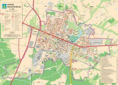
Minsk Tourist Map
Tourist map of Minsk, Poland. In Polish.
398 miles away
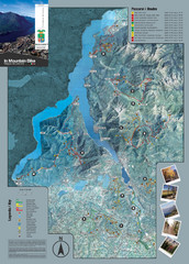
Lake Como Mountain Biking Trail Map
Trail map of mountain biking routes around Lake Como, Italy.
398 miles away
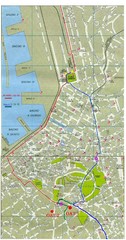
Trieste City Map
City map of Trieste with projects plans.
398 miles away
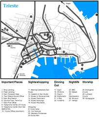
Trieste Map
399 miles away
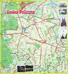
Policzna Commune Street Map
POLICZNA Commune, street map Ed. 2008 Size 2000 x 1250 mm Waterproof print-out verified for...
399 miles away
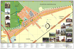
Garbatka_Letnisko_Poland.jpg Map
Map of Garbatka_Letnisko_Poland.jpg is a "city-village" plan. I do love to enter photos...
399 miles away
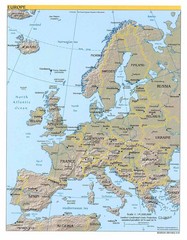
Europe relief Map
Map of Europe showing mountains, cities, countries and borders
400 miles away
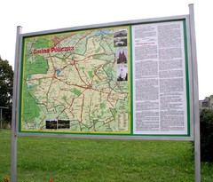
Policzna_Zwolen_Poland.jpg Map
Map of Policzna_Zwolen_Poland.jpg is another "all-proof" street map. 5 years on site...
400 miles away
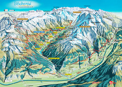
Lötschental Lauchernalp Summer Trail Map
Summer trail map of Lötschental Valley area. Shows hiking trails, towns, and mountains. The...
400 miles away
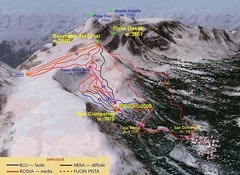
Alpe Ciamporino Ski Trail Map
Trail map from Alpe Ciamporino, which provides downhill skiing. It has 6 lifts. This ski area has...
400 miles away
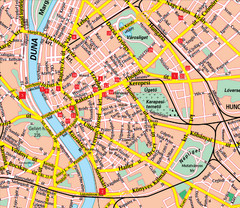
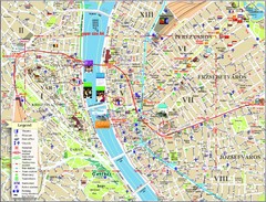
Budapest Street Map
Street map of central Budapest, Hungary.
400 miles away
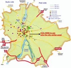
Budapest Hotel Map
401 miles away
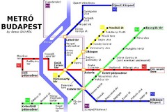
Budapest Metro Map
401 miles away
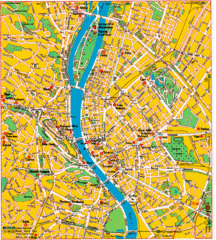
Budapest Tourist Map
401 miles away
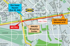
Local Budapest Tourist Map
Stores, main streets and locations in Central Budapest
401 miles away
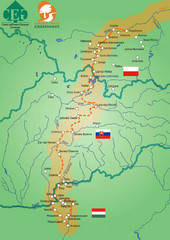
Amber Trail Budapest-Krakow Map
Amber Trail map showing the trail from Budapest to Krakow where you will see several heritage sites.
401 miles away
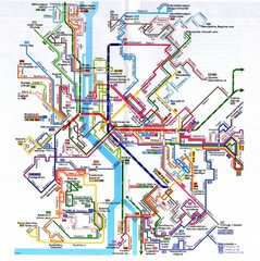
Budapest Public Transportation Map
401 miles away
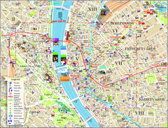
Budapest Tourist Map
Tourist map of central Budapest, Hungary. Shows theaters, museums, post offices, churches, and...
401 miles away
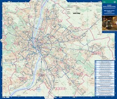
Budapest Night Bus Routes Map
Map of night bus routes in Budapest, Hungary
401 miles away
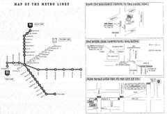
Central European University Metro and Bus Line Map
401 miles away
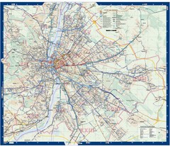
Budapest Public Transit map
402 miles away
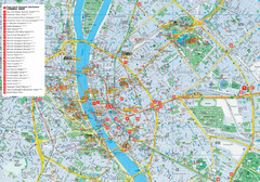
Budapest Hotel Map
Tourist map of Budapest, Hungary. Shows all hotels.
402 miles away
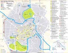
Vicenza Map
402 miles away
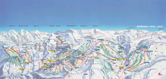
Adelboden-Lenk (Frutigen) Ski Trail Map
Trail map from Adelboden-Lenk (Frutigen), which provides downhill skiing.
403 miles away
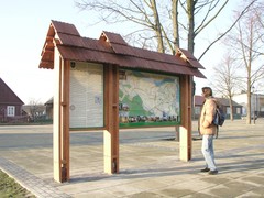
Sieciechow commune street map, PL Map
Sieciechow commune - street map Ed. 2007 Size 2000 x 1000 mm Type: administratie and touristic map
404 miles away
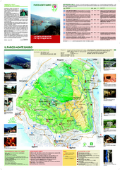
Monte Barro Map
404 miles away

