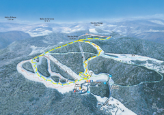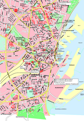
Weil am Rhein Tourist Map
Tourist street map of Weil am Rhein
336 miles away
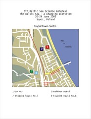
Eastern Sopot Map
336 miles away
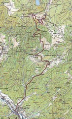
Grand Ballon Race Course Map
Topo course map of the 13.2 km running race to the summit of Grand Ballon
336 miles away
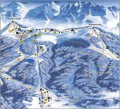
Arnoldstein—Dreiländereck Ski Trail Map
Trail map from Arnoldstein—Dreiländereck, which provides downhill skiing. It has 8 lifts. This...
337 miles away
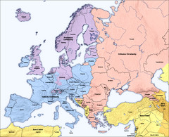
Traditional European Religious Majorities by...
Shows the traditional religious majorities by region in Europe.
337 miles away
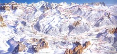
Campitello di Fassa Ski Map
338 miles away
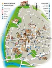
Bolzano tourist map
338 miles away
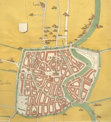
Haarlem City Map
Haarlem city center map from 1550
338 miles away
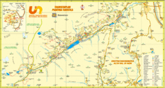
Ultental Deutschnonsberg St. Walburg Tourist Map
Tourist map of the southern Tyrol region around Ultental, Deutschnonsberg, and St. Walburg/ S...
338 miles away
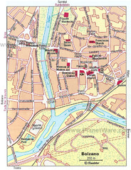
Bolzano centro Map
338 miles away
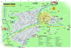
Bolzano Tourist Map
Tourist map of Bolzano, Italy.
338 miles away
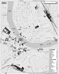
Basel Tourist Map
Tourist map of Basel, Switzerland. Shows museums, accommodations, eating, and drinking spots
338 miles away
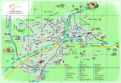
Bolzano Map
339 miles away
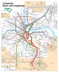
Basel Light Rail and Bus Map
339 miles away
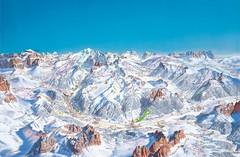
Canazei Campitello Ski Trail Map
Ski trail map of Canazei-Campitello area in the Italian Dolomites.
340 miles away
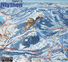
Brunni-Alpthal Ski Trail Map
Trail map from Brunni-Alpthal.
340 miles away
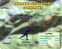
Cornimont Ski Trail Map
Trail map from Cornimont.
340 miles away
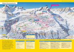
Braunwald Ski Trail Map
Trail map from Braunwald.
340 miles away
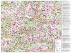
Val di Fassa Hiking Map
Hiking trail map of the Val di Fassa, Italy region. Highly detailed.
341 miles away
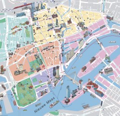
Rotterdam Tourist Map
Tourist map of Rotterdam, Netherlands. Largest port in Europe.
341 miles away
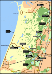
Nationaal Park Zuid-Kennemerland Map
Park overview map of Zuid-Kennemerland National Park (NPZK), Netherlands
341 miles away
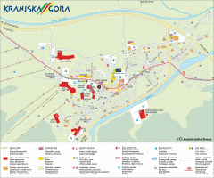
Kranjska Gora town map
Blurb from town website: The Zgornjesavska Valley is one of the most breathtaking alpine valleys...
342 miles away
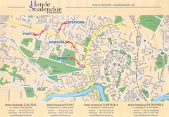
Cracow City Map
City map of Cracow with hotels
342 miles away
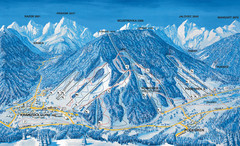
Kranjska Gora Ski Trail Map
Ski trail map of Kranjska Gora ski area.
342 miles away
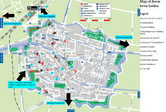
Leiden Tourist Map
Tourist map of downtown Leiden, The Netherlands. Shows some hotels and other points of interest.
342 miles away

Sulden Ski Trail Map
Ski trail map of Sulden (Solda), Italy in the Ortler Alps. Shows trails and lifts.
343 miles away

Sulden Trafoi Summer Hiking Map
Summer hiking route map of Sulden (Solda) Italy, Trafoi, Italy and Stelvio, Italy. Shows hiking...
343 miles away
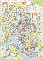
Krakow City Center Map
343 miles away
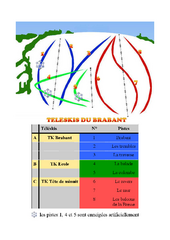
Brabant Ski Trail Map
Trail map from Brabant.
343 miles away
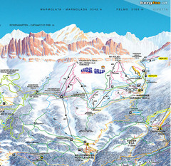
Welschnofen—Karersee (Carezza) Ski Trail Map
Trail map from Welschnofen—Karersee (Carezza), which provides downhill and nordic skiing. This...
343 miles away
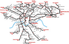
Krakow Bus Routes Map
343 miles away
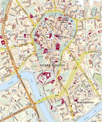
Krakow Tourist Map
343 miles away
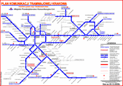
Cracow Tramlink Map (Polish)
343 miles away
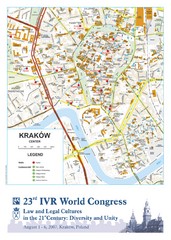
Krakow Map
Map of the city of Krakow. Includes streets, buildings, hotels, and parks.
343 miles away
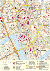
Krakow Tourist Map
Tourist map of central Krakow, Poland. Shows tourist routes and site of historic interest.
343 miles away
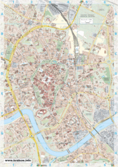
Krakow City Map
City map of central Krakow, Poland.
343 miles away
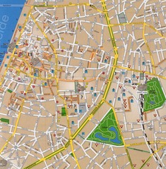
Antwerp Tourist Map
Tourist map of central Antwerp, Belgium. Scanned.
345 miles away
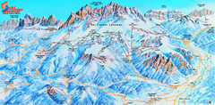
Latemar (Val di Fiemme, Obereggen) Ski Center...
Trail map from Latemar (Val di Fiemme, Obereggen), which provides downhill and nordic skiing. This...
345 miles away

