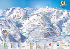
Mayrhofen Ski Trail Map
Trail map from Mayrhofen.
290 miles away
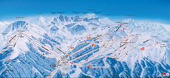
Axamer Lizum Ski Trail Map
Trail map from Axamer Lizum.
291 miles away
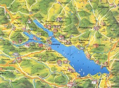
Lake Konstanz Map
292 miles away

Alsace - Bas Rhin Map
292 miles away
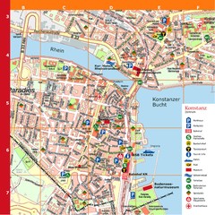
Konstanz Tourist Map
Tourist map of Konstanz
292 miles away
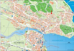
Konstanz City Map
292 miles away
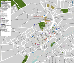
Odense Tourist Map
Tourist map of downtown
292 miles away
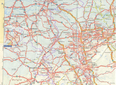
Maastricht Map
Highway map of Maastricht area
292 miles away
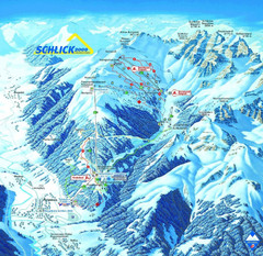
Fulpmes Ski Trail Map
Trail map of Fulpmes ski area in the Stubai Alps near Fulpmes, Austria. Schlick 2000
293 miles away
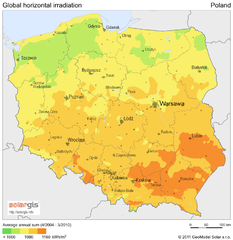
Solar Radiation Map of Poland
Solar Radiation Map Based on high resolution Solar Radiation Database: SolarGIS. On the Solar Map...
293 miles away
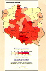
Poland Population Density Map
Map of Poland's population density
293 miles away
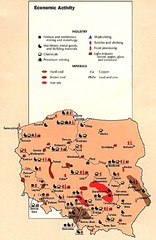
Poland Economic Activity Map
Map of Poland's economic activity
293 miles away

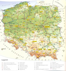
Poland Map
Map of Poland showing major roads, railroads, cities and boundaries.
293 miles away
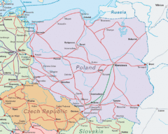
Interrail Routes in Central Europe Map
Map shows railway routes for Poland, Germany, Czech Republic and Slovakia.
293 miles away

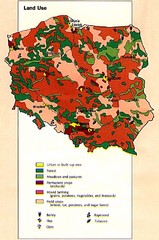
Poland Country Map
CIA Atlas of Eastern Europe - PCL Map Collection, University of Texas at Austin.
293 miles away
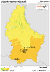
Solar Radiation Map of Luxembourg
Solar Radiation Map Based on high resolution Solar Radiation Database: SolarGIS. On the Solar Map...
294 miles away
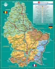
Luxembourg Tourism Map
Tourist Map of Luxembourg showing major roads, railways, and tourist attractions.
294 miles away
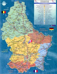
Luxembourg Tourist Map
Tourist map of the country of Luxembourg. Shows points of interest and activity icons. In French...
294 miles away
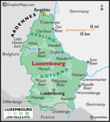
Luxembourg Map
294 miles away
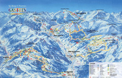
Gastein Ski Trail Map
Ski trail map of the Gastein Valley in Austria. Shows lift systems from Bad Gastein, Bad...
294 miles away
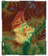
Luxembourg topo Map
295 miles away
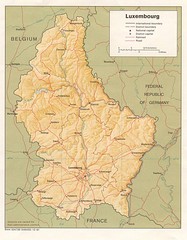
Luxembourg Map
Map of the mountains, cities and roadways of Luxembourg.
295 miles away
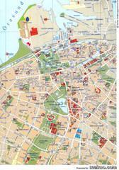
Malmo City Map
City map of central Malmö, Sweden.
296 miles away
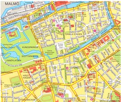
Malmo 1 Map
296 miles away
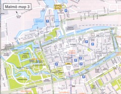
Malmo 2 Map
296 miles away
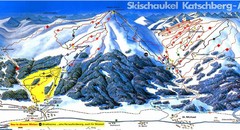
Lungau Ski Trail Map
Trail map from Lungau.
297 miles away
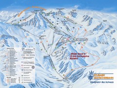
Stubaital Ski Trail Map
Trail map from Stubaital.
297 miles away
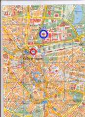
Eindhoven City Map
City map of center of Eindhoven, The Netherlands
298 miles away
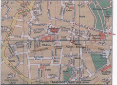
Roskilde Town Map
298 miles away
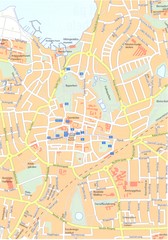
Roskilde Map
298 miles away
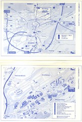
Kirchberg Map
Map of Kirchberg, Luxembourg. In French. Scanned.
298 miles away
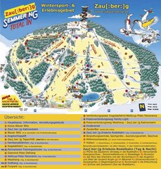
Semmering Ski Trail Map
Trail map from Semmering.
299 miles away
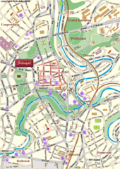
Luxembourg city Map
299 miles away
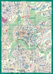
Luxembourg City Street Map
Street map of Luxembourg city and surrounding area.
300 miles away
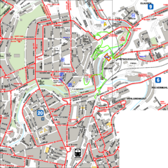
City Center with Bus and Rail Lines Map
300 miles away
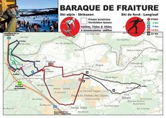
Baraque de Fraiture and Nordic Ski Trail Map
Trail map from Baraque de Fraiture.
300 miles away


