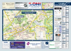
Lindlar Tourist Map
Tourist map of Lindlar and surrounding region
218 miles away
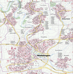
Waiblingen Map
City map of Waiblingen and surrounding region
220 miles away
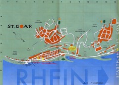
Sankt Goar Town Map
Town map of Sankt Goar, Germany. Sankt Goar is a picturesque little town on the Rhein river, about...
220 miles away
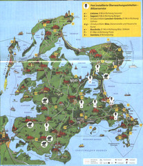
Rügen Tourist Map
Tourist map of the island of Rügen, Germany's largest island.
220 miles away
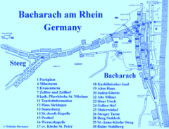
Bacharach Tourist Map
Tourist map of town of Bacharach
220 miles away
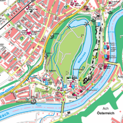
Burghausen Tourist Map
Tourist street map of Burghausen
220 miles away
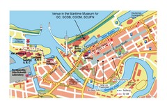
Bremerhaven City Map
City map of central Bremerhaven, Germany. Alfred Wegener Institute for Polar and Marine Research...
220 miles away
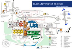
Ruhr-Universitat Campus Map
221 miles away
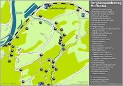
Muttental Bergbauwanderweg Map
221 miles away
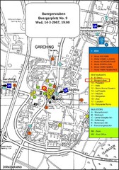
Map of the city of Garching, Germany
General visitor information including the locations of restaurants, hotels, bus stops and more.
222 miles away
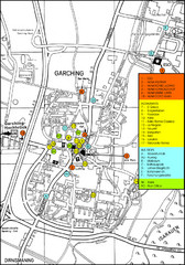
Garching Map
Map of Garching, a suburb to the north of Munich, with hotels, restaurants and bus stops marked.
222 miles away
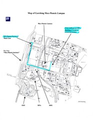
Garching Max-Planck Campus Map
Map of the Max-Planch Campus in Garching, Germany. Includes information on Accommodation and...
222 miles away
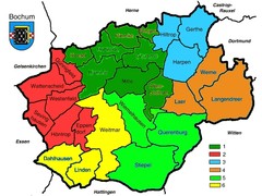
Bochum Stadtteile Map
222 miles away
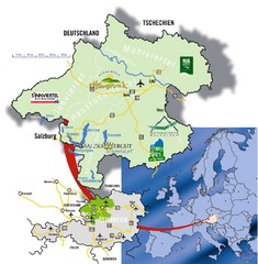
Upper Austria Tourist Map
223 miles away
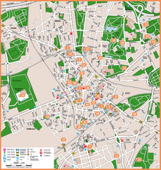
Bochum Tourist Map
Tourist map of central Bochum, Germany. Shows points of interest; numbers correspond to more info...
223 miles away
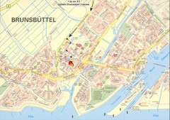
Brunsbüttel Map
Street map of Brunsbüttel and surrounding region
223 miles away
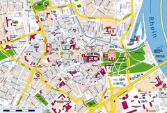
Speyer City Map
City map of central Speyer, Germany
223 miles away
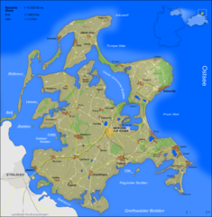
Rügen Map
Shows shaded population density of island of Rugen, Germany
223 miles away
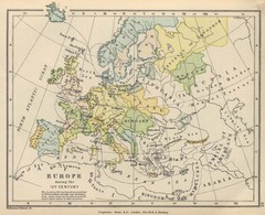
Europe 15th Century Colbeck Map
Europe during the 15th Century
224 miles away
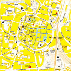
Recklinghausen Map
Street map of city
224 miles away
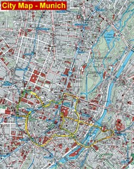
Munich City Map
City map of Munich, Germany
224 miles away
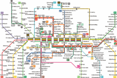
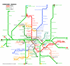
Munich Metro Map
Metro map of Munich, Germany. In German.
224 miles away
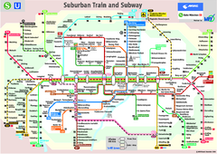
Munich public transportation system Map
This MVV network map, probably the best known one, shows all lines and stops for the urban rail and...
224 miles away
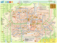
Munich Public Transportation Map
224 miles away
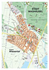
Wiesental Map
Street map of town of Wiesental
224 miles away
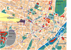
Munich Tourist Map
Tourist map of central Munich (München), Germany.
224 miles away
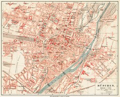
Munich Map
224 miles away
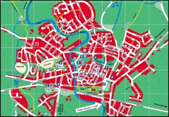
Otterndorf Map
Street map of Otterndorf
225 miles away

Wuerttembergische Landeskirche Map
Karte der Evang. Landeskirche in Wuerttemberg, The Evangelical-Lutheran Church in Wuerttemberg
225 miles away

Bad Münster am Stein-Ebernburg Tourist Map
Tourist street map of Bad Münster am Stein-Ebernburg
225 miles away
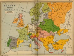
Europe 1490 Historical Map
226 miles away
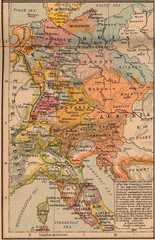
Germany Italy 1803 Map
Germany and Italy in 1803 after the Principle Decree of the Imperial Deputation
226 miles away
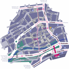
Wuppertal Elberfeld Street Map
Street map of Elberfeld in Wuppertal, Germany. In German.
226 miles away
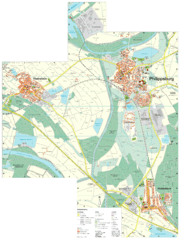
Philippsburg Map
Street map of Philippsburg
226 miles away

