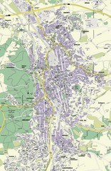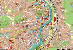
Jena Topographic Map
Guide to topography and surrounding area of Jena, Germany
53 miles away
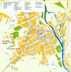
Saalfeld Tourist Map
Tourist street map of Saalfeld
53 miles away
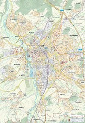
Fulda 1:20000 Map
54 miles away

Fulda-city map
54 miles away
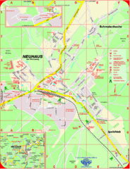
Neuhaus am Rennweg Map
Street map of Neuhaus am Rennweg
54 miles away
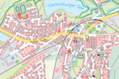
Vienenburg Center Map
Street map of town center
54 miles away
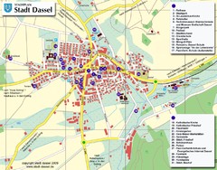
Dassel Tourist Map
Tourist street map of Dassel
55 miles away
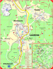
Lauscha Map
Street map of town of Lauscha and surrounding area
56 miles away
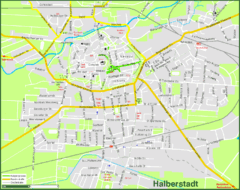
Halberstadt Map
Street map of Halberstadt town
57 miles away
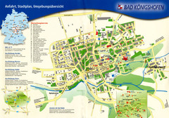
Bad Konigshofen Toursit Map
Tourist map of Bad Konigshofen
60 miles away
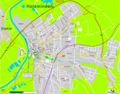
Holzminden Map
Street map of Holzminden
63 miles away
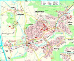
Rödental Map
Street map of city of Rödental
66 miles away
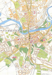
Weissenfels City Map
City map of Weissenfels, Germany
66 miles away
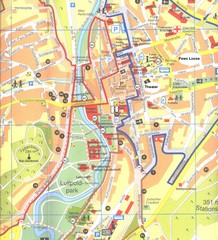
Bad Kissingen Tourist Map
Tourist map of Bad Kissingen
69 miles away
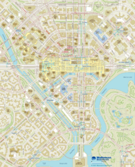
Wallensen Downtown Map
Wallensen City Downtown Map.
69 miles away
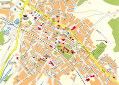
Halle City Map
Street map of Halle city center
69 miles away
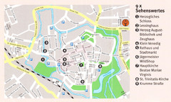
Wolfenbuttel Map
69 miles away
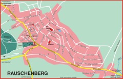
Rauschenberg Map
Street map of town of Rauschenberg
70 miles away
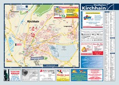
Kirchhain Tourist Map
Tourist map of Kirchhain and surrounding region
70 miles away
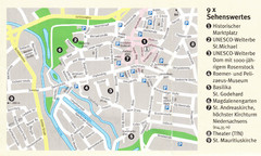
Hildesheim Map
71 miles away
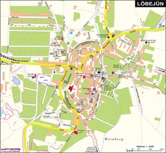
Loebejuen Map
Street map of town of Loebejuen
71 miles away
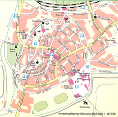
Kirchain Center Map
Street map of Kirchain center
71 miles away
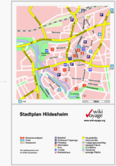
Hildesheim Center Tourist Map
Tourist street map of Hildesheim city center
71 miles away
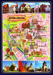
Hildesheim Tourist Map
Tourist map of downtown Hildesheim
71 miles away
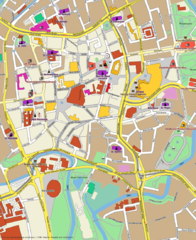
Braunschweig Map
Street map of Braunschweig center
76 miles away
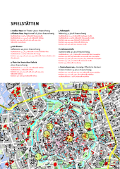
Braunschweig Tourist Map
Tourist map of Bruanschweig
76 miles away
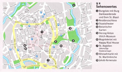
Braunschweig Map
76 miles away
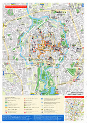
Braunschweig Map
76 miles away

Zeil am Main Tourist Map
Tourist street map of Zeil am Main and surrounding region
80 miles away
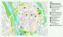
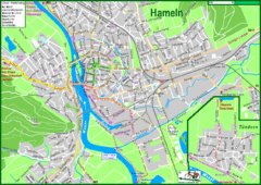
Hameln Map
80 miles away

