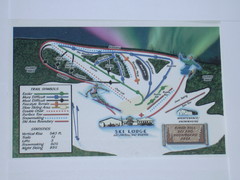
Birch Hill Ski Trail Map
Trail map from Birch Hill. This ski area opened in Pre 1963.
716 miles away
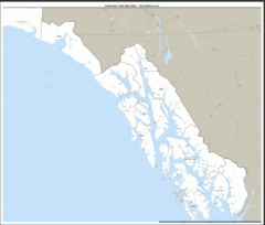
Alaska Zip Code Map
Check out this Zip code map and every other state and county zip code map zipcodeguy.com.
717 miles away
Cleary Summit Cleary Summit Ski Trail Map
Trail map from Cleary Summit. This ski area opened in 1953.
718 miles away
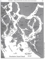
Desolation Sound Detail Map
Shows general geography of Desolation Sound from Malaspina Inlet to Bute Inlet. Shows Cortes Bay...
718 miles away
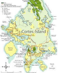
Cortes Island Tourist Map
Places of interest.
724 miles away
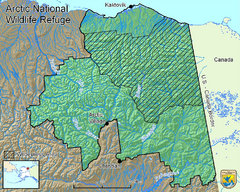
Arctic National Wildlife Refuge Boundary Map
Guide to the Arctic National Wildlife Refuge in Alaska
726 miles away
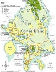
Cortes Island tourist map
Tourist map of Cortes Island in British Columbia, Canada. Shows businesses and roads.
727 miles away
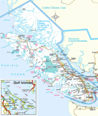
Vancouver Island Park Map
Parks and roads on Vancouver Island.
729 miles away
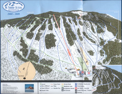
Mt Timothy Ski Trail Map
Trail map from Mt Timothy.
731 miles away
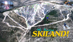
Mt Aurora Skiland Ski Trail Map
Trail map from Mt Aurora Skiland. It has 3 lifts. This ski area has its own <a href="http...
732 miles away
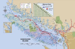
Vancouver Island Map
734 miles away
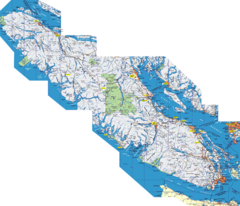
Vancouver Island Map
Detailed map of Vancouver Island, British Columbia. Shows towns, roads, and parks.
734 miles away
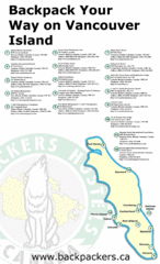
Vancouver Island Backpacking Map
Shows hostels on Vancouver Island, BC
734 miles away
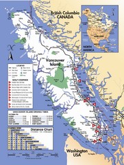
Vancouver Island Road Map
738 miles away
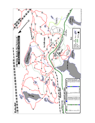
108 Mile House Ski Trail Map
Trail map from 108 Mile House.
738 miles away
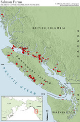
BC Salmon Farms Map
Shows fishfarms in BC around Vancouver Island, highest concentration of fish farms in North Pacific
738 miles away
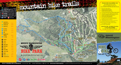
Mt. Washington Resort Summer Mountain Biking Ski...
Trail map from Mt. Washington Resort, which provides downhill and nordic skiing.
738 miles away
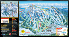
Mt. Washington Resort Ski Trail Map
Trail map from Mt. Washington Resort, which provides downhill and nordic skiing.
738 miles away
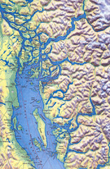
Northern Gulf Map
Map of Northern Gulf Islands
740 miles away
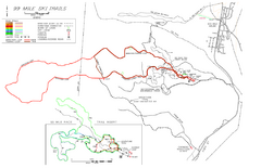
99 Mile Ski Ski Trail Map
Trail map from 99 Mile Ski Trails, which provides nordic skiing. This ski area has its own website.
744 miles away
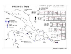
99 Mile Ski Race Routes Ski Trail Map
Trail map from 99 Mile Ski Trails, which provides nordic skiing. This ski area has its own website.
744 miles away
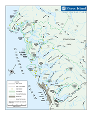
Flores Island Provincial Park Area Map
Park map of area around Flores Island Provincial Park, BC in the Clayoquot Sound. Flores Island is...
744 miles away
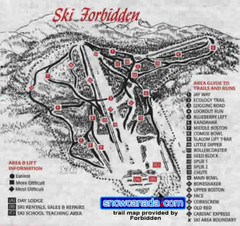
Pre-1999 Forbidden Plateau Map #2
Trail map from Forbidden Plateau.
746 miles away
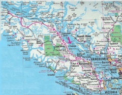
Vancouver Island Road Map
748 miles away
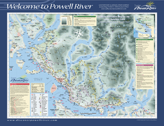
Upper Sunshine Coast Recreation Map
Recreation map of Upper Sunshine Coast in BC. Shows hiking trails, kayaking and canoeing routes...
750 miles away

Arctic Refuge Coastal Plain Map
Guide to birthplace and nursery grounds of the porcupine caribou herd
752 miles away
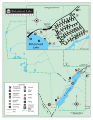
Birkenhead Lake Provincial Park Map
Park map of Birkenhead Lake Provincial Park, BC. Inset of campground
758 miles away
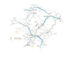
Pemberton Valley Area Parks Map
Area parks map of Pemberton Valley area in BC. Shows peaks and lakes.
759 miles away
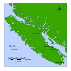
Vancouver Island Overview Map
Town of Parksville highlighted.
763 miles away
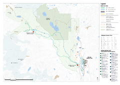
Callaghan Country Nordic Ski Trail Map
Trail map from Callaghan Country, which provides nordic skiing. This ski area opened in 1998, and...
770 miles away
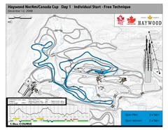
Whistler Olympic Park (Callaghan Nordic Centre...
Trail map from Whistler Olympic Park (Callaghan Nordic Centre), which provides night and nordic...
770 miles away
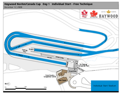
Whistler Olympic Park (Callaghan Nordic Centre...
Trail map from Whistler Olympic Park (Callaghan Nordic Centre), which provides night and nordic...
770 miles away
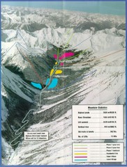
Cayoosh Resort (Melvin Creek) Ski Trail Map
Trail map from Cayoosh Resort (Melvin Creek), which provides downhill skiing.
773 miles away
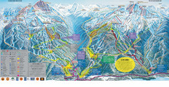
Trail Map Whistler Blackcomb
Map of all trails and ski runs at Whistler and Blackcomb mountains. Includes detailed information...
774 miles away
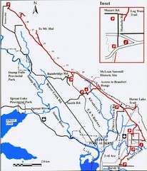
Log Train Trail Map
Trail map of the Log Train Trail near Port Alberni, Vancouver Island
775 miles away
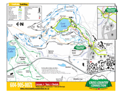
Lost Lake, Whistler Hiking and Biking Trail Map
775 miles away
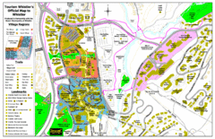
Whistler Village Map
775 miles away
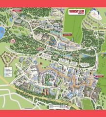
Whistler Village Map
775 miles away

