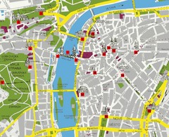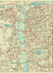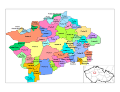
Prag Districts Map
257 miles away
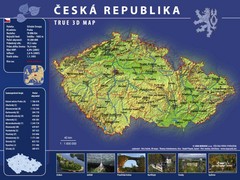
Prague, Czech Republic Tourist Map
257 miles away
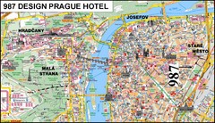
Prague, Czech Republic Tourist Map
257 miles away
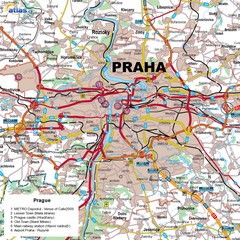
Prague, Czech Republic Tourist Map
257 miles away
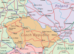
Czech Republic Tourist Map
257 miles away
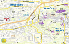
Prague Tourist Map
257 miles away
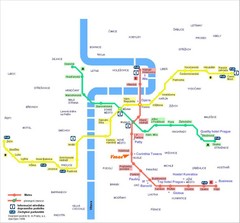
Prague Hotel Map
257 miles away
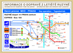
Prague Airport to Metro Map
257 miles away
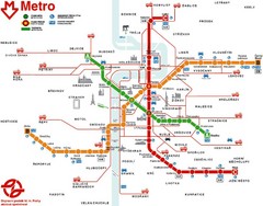
Prague Metro Map
257 miles away
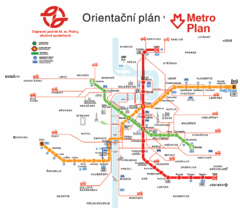
Prague Metro Map
257 miles away
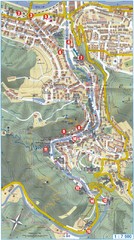
Transportation near Prague Map
Locations and destinations of transportation in and near Prague
257 miles away
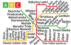
Prague Metro Map 2008 (for small displays)
Small version of Prague metro map of mobile phones, etc.
257 miles away
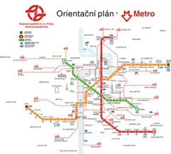
Prague Public Transport Map
Public transportation in Prague
257 miles away
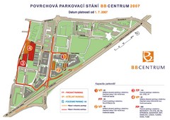
BB Centrum Map (Czech)
BB Centrum is one of the largest and most successful developments in the Czech Republic. This new...
257 miles away
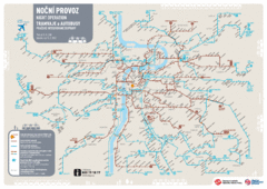
Tram Night Operation Map
257 miles away
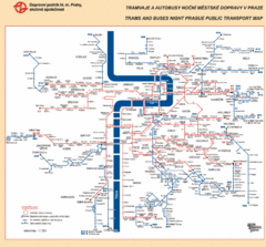
Prague Night Public Bus Tram Map
257 miles away
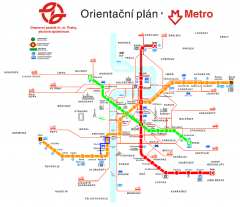
Prague Metro and Strret Car Map
Overview of Prague's metro and bus lines. Date unknown.
257 miles away
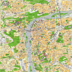
Prague City Center Map
Street map of Prague's city center. Shows tourist points of interest including landmark...
257 miles away
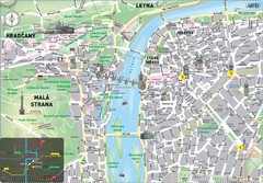
Prague Historical Center Map
Tourist map of the historical center of Prague, Czech Republic. Shows points of interest.
257 miles away
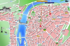
Prague Old Town Map
Tourist map of Old Town Prague, Czech Republic
257 miles away
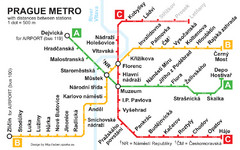
Prague Metro 2008 Map
258 miles away
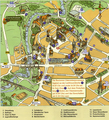
Bautzen Tourist Map
Tourist map of Bautzen town center
263 miles away
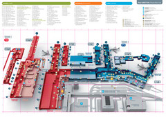
Praugue Airport Map
264 miles away
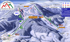
Mönichkirchen Ski Trail Map
Trail map from Mönichkirchen.
265 miles away
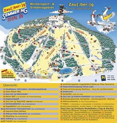
Semmering Ski Trail Map
Trail map from Semmering.
265 miles away
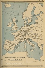
Universities of Europe Historical Map
267 miles away

Czech Republic Map
267 miles away
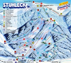
Stuhleck – Spital am Semmering Ski Trail Map
Trail map from Stuhleck – Spital am Semmering, which provides downhill skiing. This ski area...
270 miles away
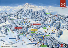
Annaberg Ski Trail Map
Trail map from Annaberg.
271 miles away
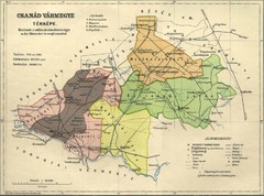
Csanád vármegye Map
271 miles away
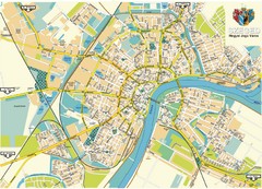
Szeged Map
Map of central Szeged, Hungary
271 miles away
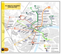
Szeged Public Transportation Map (Hungarian)
272 miles away
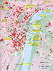
Szeged Tourist Map
Tourist map of central Szeged, Hungary. Shows points of interest.
272 miles away
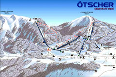
Ötscher Lackenhof Ski Trail Map
Trail map from Ötscher Lackenhof.
278 miles away
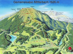
Mitterbach-Gemeindalpe Summer Ski Trail Map
Trail map from Mitterbach-Gemeindalpe.
278 miles away
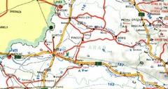
Arad Map
281 miles away

