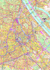
Vienna Street Map
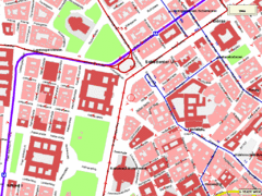
Street map of Vienna, Austria
221 miles away
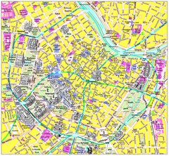
Vienna Inner City Tourist Map
Tourist map of inner city Vienna, Austria. 3D drawings of major buildings and palaces.
221 miles away
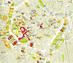
Vienna centre Map
221 miles away
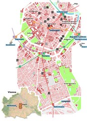
Vienna City Center Map
Map of Vienna city center
221 miles away
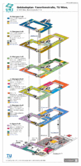
Vienna University of Technology Building Map
Building map of the Institute of Software Technology and Interactive Systems at the Vienna...
221 miles away
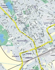
Székesfehérvár City Map
City Map of Székesfehérvár
222 miles away
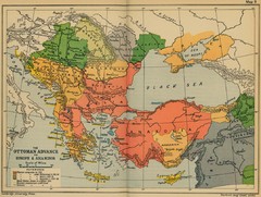
The Ottoman Advance of Europe and Asia Minor Map
223 miles away
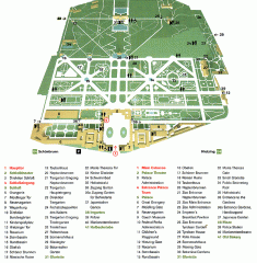
Schonbrunn Palace map
From Wikipedia: Schonbrunn Palace (German: Schloss Schonbrunn) in Vienna is one of the most...
224 miles away
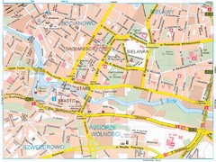
Bydgoszcz Tourist Map
Tourist map of central Bydgoszcz, Poland. Shows points of interest.
225 miles away
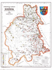
Bukovina Ethnographic Map
Ethnographic map of Bukovina, currently split between Romania and Ukraine. Map as of 1910. In...
226 miles away
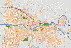
Oradea Tourist Map
Tourist map of Oradea, Romania.
230 miles away
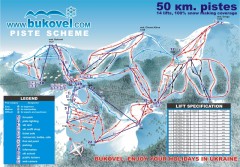
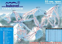
'Bukovel' Ski Resort Piste Map
Bukovel Ski Resort Piste Scheme. Near Yaremcha, Ukraine
232 miles away
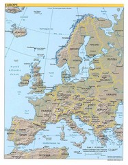
Europe relief Map
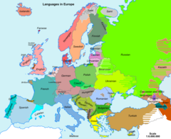
Map of Europe showing mountains, cities, countries and borders
234 miles away
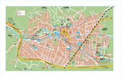
Baden City Map
City map of Baden, Austria. Shows sites of Sommer-Eurovision Sports, to take place in Baden from...
235 miles away
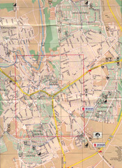
Veszprem City Map
City map of Veszprem, Hungary. Scanned.
238 miles away
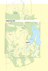
Naßlettel Map
239 miles away
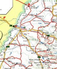
Bihor Map
239 miles away
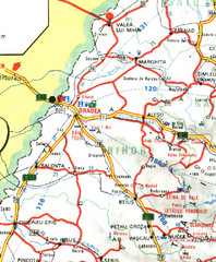
Bihor Romania Road Map
Map of Bihor, Romania showing main roads and roadside services.
239 miles away
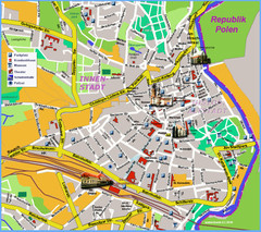
Goerlitz Tourist Map
Tourist street map of Goerlitz
239 miles away
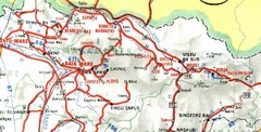
Maramures Map
241 miles away
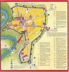
Rothenburg Tourist Map
Tourist map of town of Rothenburg
243 miles away
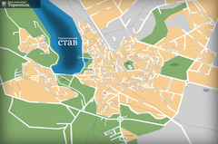
Ternopil_ukr Map
244 miles away
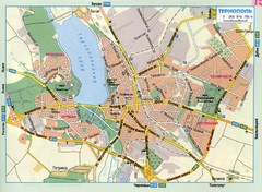
Ternopil Ukraine Map
244 miles away

Danube River Basin by Maps Illustrated Map
Map from Diplomat magazine from an article on the economic region based on the Danube Basin
251 miles away
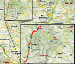
Czech Republic Tourist Map
252 miles away
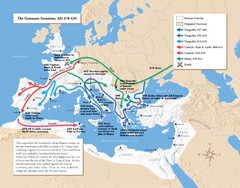
Germanic Invasions Map 378-439
Shows the breakdown of the Roman frontier in the late 4th and early 5th centuries.
252 miles away
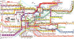
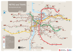
Prague Metro Map
Guide to Prague public transportation
256 miles away
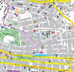
Praha Tourist Map
256 miles away
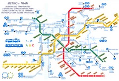
Prague (Praha) Metro Map
Guide to Prague Metro
256 miles away
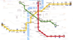
Prague Downtown Metro Map
Guide to public transportation in Prague
256 miles away
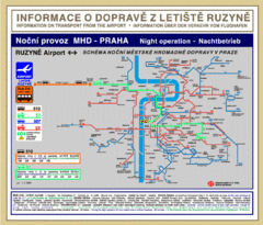
Prague Ruzyne Airport Night Public Transportation...
257 miles away
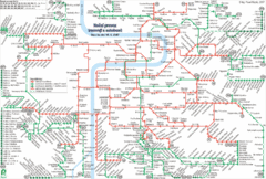
Prague Night Tram and Bus Lines Map
257 miles away
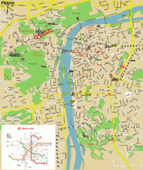
Prague (Praha) Tourist Map
Guide to major streets, points of interest and Metro
257 miles away
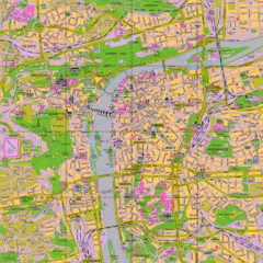
Prague Tourist Map
Tourist map of Prague, Czech Republic.
257 miles away
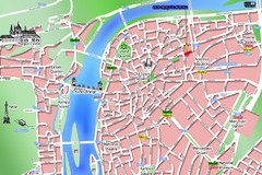
Old Prague Tourist Map
Simplified tourist map of old Prague, Czech Republic. Shows major landmarks, metro stations, and...
257 miles away
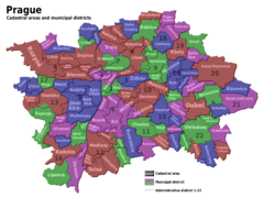
Prag Districts Map
257 miles away

