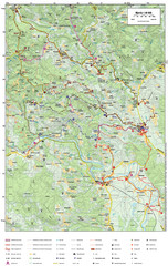
Krašić Bike Trail Map
Bike routes of the Krašić-Vivodina region.
148 miles away
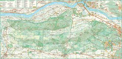
Kampinoski National Park Map
Kampinoski National Park
150 miles away
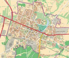
Mińsk Mazowiecki City Map
City map of Mińsk Mazowiecki, Poland
150 miles away
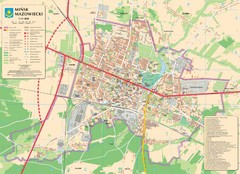
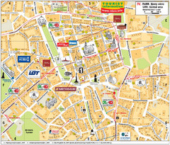
Minsk Tourist Map
Tourist map of Minsk, Poland. In Polish.
151 miles away
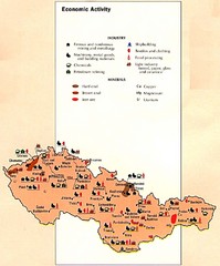
Czechoslovakia Economic Activity Map
Map of economic activity throughout region
152 miles away
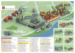
Wroclaw University of Technology Campus Map
153 miles away
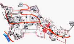
Vysehrad Tourist Map
153 miles away
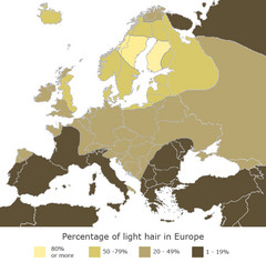
Europe Blond Hair Map
Shows percentage of light hair in Europe.
154 miles away
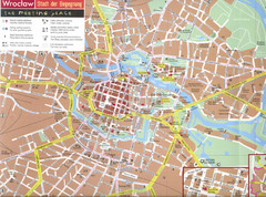
Wroclaw Tourist Map
Tourist map of central Wrocław, Poland. Shows points of interest.
154 miles away
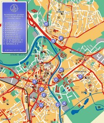
Nitra City Map
City map of central Nitra, Slovakia
161 miles away
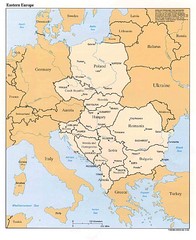
Eastern European Map
Map of Eastern Europe, Poland to Bulgaria
163 miles away
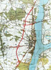
Serock Map
Town map of Serock, Poland. Not very much detail.
166 miles away
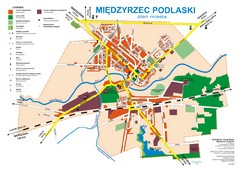
Miedzyrzec Podlaski Location Map (polish)
168 miles away
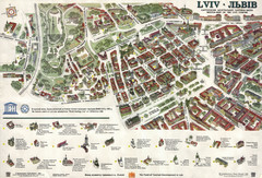
Lviv Tourist Map
Tourist map of historic district of central Lviv, Ukraine, added to the UNESCO World Heritage List...
171 miles away
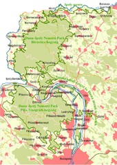
Duna-Ipoly Nemzeti Park Map
Overview map of Duna-Ipoly Nemzeti Park (Danube-Ipoly National Park) north of Budapest, Hungary
172 miles away

Lviv. Southern outskirts of city (in Ukrainian...
Lviv. High detailed southern outskirts of city (in Ukrainian)
173 miles away
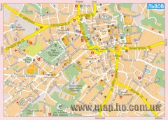
Street map of central Lviv, Ukraine. (Russian)
Street map of central Lviv, Ukraine. In Russian.
173 miles away
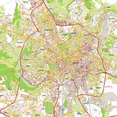
Brno Tourist Map
Tourist map of Brno, Czech Republic. Shows central Brno and surrounding area.
175 miles away
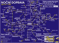
Brno Czech Republic Mass Transit Map
Mass Transit map showing all routes and stops in Brno, Czech Republic.
175 miles away
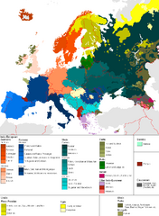
Languages of Europe Map
A map of the languages in Europe and where they originate.
176 miles away
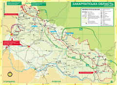
Transcarpathia Hiking Trail Map
Map of the Transcarpathia Hiking Trail (THT) in Ukraine. Trail runs through the territory of...
179 miles away
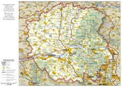
Duna-Ipoly Nemzeti National Park Map
Reference map of Duna-Ipoly Nemzeti National Park and surrounding area north of Budapest, Hungary
181 miles away
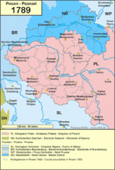
1789 Poland Map
Polish kingdoms and districts in 1789
184 miles away

Drohiczyn Podlaskie Kayak Map
Kayak trips on the bug river highlighted on the map of Drohiczyn, Podlaskie, Poland.
187 miles away
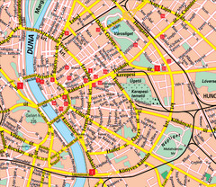
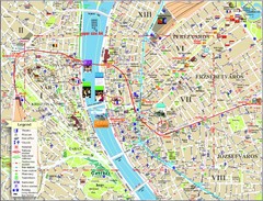
Budapest Street Map
Street map of central Budapest, Hungary.
192 miles away
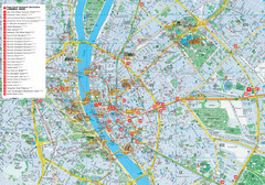
Budapest Hotel Map
Tourist map of Budapest, Hungary. Shows all hotels.
192 miles away
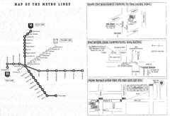
Central European University Metro and Bus Line Map
193 miles away
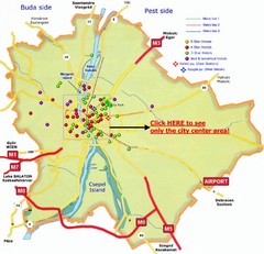
Budapest Hotel Map
193 miles away
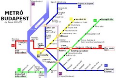
Budapest Metro Map
193 miles away
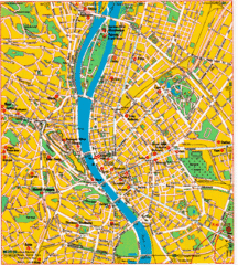
Budapest Tourist Map
193 miles away
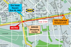
Local Budapest Tourist Map
Stores, main streets and locations in Central Budapest
193 miles away
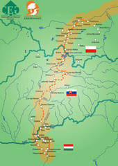
Amber Trail Budapest-Krakow Map
Amber Trail map showing the trail from Budapest to Krakow where you will see several heritage sites.
193 miles away
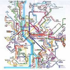
Budapest Public Transportation Map
193 miles away
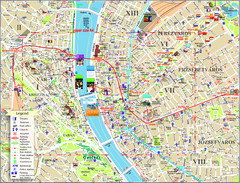
Budapest Tourist Map
Tourist map of central Budapest, Hungary. Shows theaters, museums, post offices, churches, and...
193 miles away
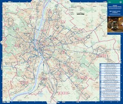
Budapest Night Bus Routes Map
Map of night bus routes in Budapest, Hungary
193 miles away
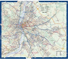
Budapest Public Transit map
193 miles away
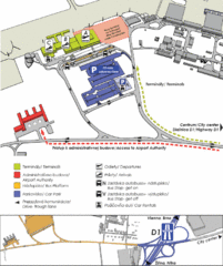
Bratislava Airport Map
194 miles away
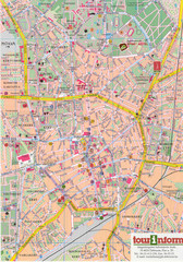
Debrecen Tourist Map
Tourist map of Debrecen Terkep, Hungary.
194 miles away

