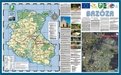
Brzoza_Glowaczow_Poland - 2000 x 1250.PNG Map
Map of Brzoza_Glowaczow_Poland - 2000 x 1250.PNG is special project dedicated to school in Brzoza...
112 miles away
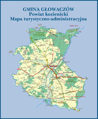
GLOWACZOW commune, PL Map
GLOWACZOW commune map, PL Ed. 2010 All data verified
112 miles away
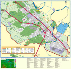
Kocienice_City_Plan-POLAND Map
Plan of City of Kozienice, PL
113 miles away
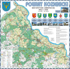
Kozienice_County_wall_map Map
Kozienice County big size wall map Covers all 7 communes: Kozienice, Garbatka-Letnisko, Grabow nad...
113 miles away
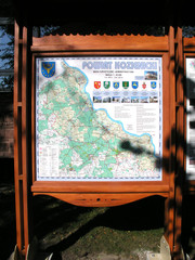
Kozienice_County_Poland_Streetmap.jpg Map
Street Map of Kozienice_County_Poland_Streetmap.jpg is added here because of the interesting wooden...
114 miles away
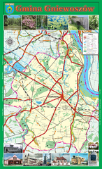
GNIEWOSZOW commune map, PL Map
Gniewoszow commune map Ed. 2007
114 miles away
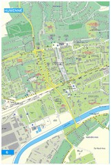
Humenne Tourist Map
Tourist map of Humenne, Slovakia. Shows all points of interest.
115 miles away
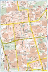
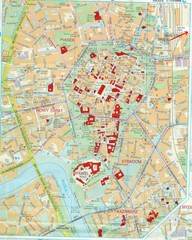
Lódź Tourist Map
Tourist map of central Lódź, Poland. Shows points of interest.
115 miles away
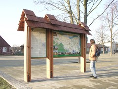
Sieciechow commune street map, PL Map
Sieciechow commune - street map Ed. 2007 Size 2000 x 1000 mm Type: administratie and touristic map
115 miles away
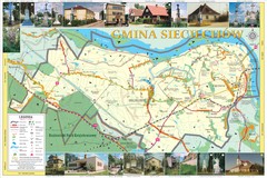
Sieciechow, Poland, Mazovia Map
Sieciechow commune map, Mazovia, PL
115 miles away
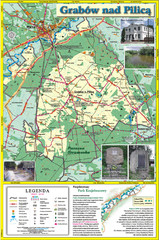
Grabow nad Pilica commune map
Grabow nad Pilica commune map Ed. 2006
116 miles away
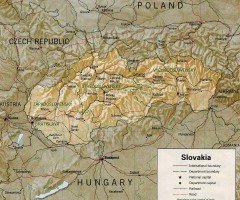
Slovakia country map
Map of Slovakia with surrounding countries. Shows boundaries, major cities, and shaded with...
118 miles away
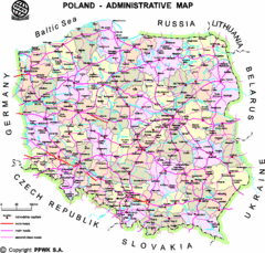
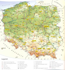
Poland Map
Map of Poland that includes all freeways, cities, districts and surrounding countries.
122 miles away
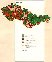
Czechoslovakia Land Use Map
Map of Czechoslovakia region land use
122 miles away
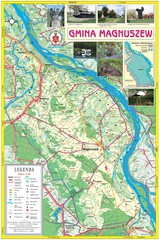
Magnuszew Commyne - Touristic map
Magnuszew commune - touristic, folded map.
122 miles away

Elevation Profile for Klasik Route Map
Elevation Profile for Klasik Route Map for 2008 for Dubnicky Marathon
126 miles away
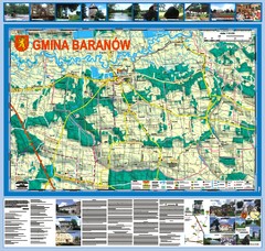
Baranow count wall map, PL Map
Baranow commune in Pulawy county, PL 3D big size wall map, surrounded by photos from Baranow area...
127 miles away
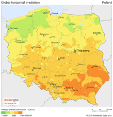
Solar Radiation Map of Poland
Solar Radiation Map Based on high resolution Solar Radiation Database: SolarGIS. On the Solar Map...
129 miles away
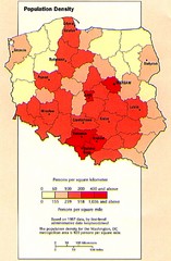
Poland Population Density Map
Map of Poland's population density
129 miles away
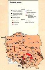
Poland Economic Activity Map
Map of Poland's economic activity
129 miles away

Poland Map
Map of Poland showing major roads, railroads, cities and boundaries.
129 miles away
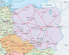
Interrail Routes in Central Europe Map
Map shows railway routes for Poland, Germany, Czech Republic and Slovakia.
129 miles away

Poland Country Map
CIA Atlas of Eastern Europe - PCL Map Collection, University of Texas at Austin.
129 miles away
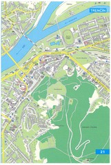
Trencin Tourist Map
Tourist map of Trencin, Slovakia. Shows points of interest.
132 miles away
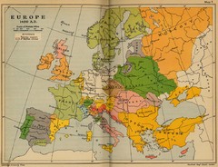
Europe 1490 Historical Map
135 miles away
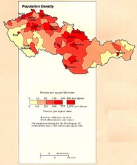
Czechoslovakia Population Density Map
Map of Czechoslovakia's population density
138 miles away
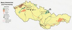
Czechoslovakia Resources Map (1974)
Map of 1974 Czechoslovakia resources
138 miles away
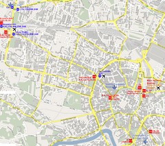
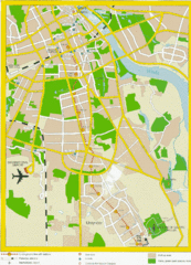
Warsaw, Poland Tourist Map
146 miles away
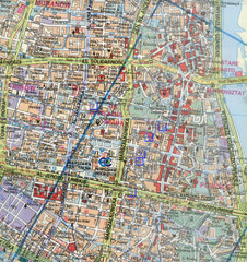
Warsaw, Poland Tourist Map
146 miles away
Warsaw, Poland Tourist Map
146 miles away
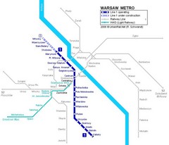
Warsaw Metro Map
146 miles away
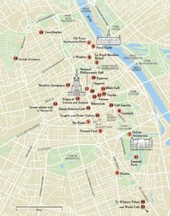
Warsaw Tourist Map
City map of Warsaw, Poland showing tourist sites, parks and major roads.
146 miles away
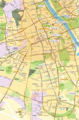
Warsaw University Map
Map of Warsaw University and surrounding area.
146 miles away
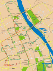
Central Warsaw Tourist Map
Warsaw, Poland Tourist Map showing roads, mass transit routes, and parks.
146 miles away
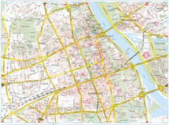
Warsaw Tourist Map
Tourist map of central Warsaw, Poland. Shows points of interest.
146 miles away
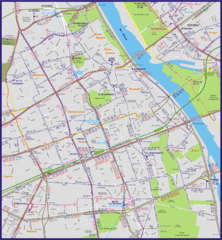
Warsaw City with Bus Routes Map
147 miles away
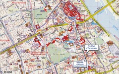
Warsaw Tourist Map
Tourist map of central Warsaw, Poland near University of Warsaw. Shows points of interest.
147 miles away

