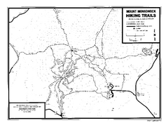
Mount Monadnock State Park Map
Official hiking map of the park. With its thousands of acres of protected highlands, 3,165-ft...
less than 1 mile away
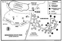
Monadnock State Park map
Campground map of Monadnock State Park in New Hampshire
1 mile away
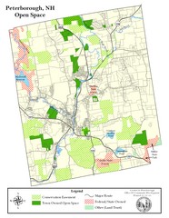
Peterborough Open Space Map
Map of open space lands in Peterborough, New Hampshire
7 miles away
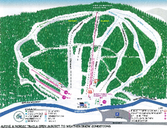
Granite Gorge Ski Trail Map
Trail map from Granite Gorge. This ski area opened in 2005.
11 miles away
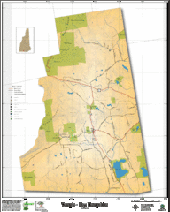
Temple NH Topo Map
Topographical map of Temple, NH area. Shows all roads and points of interest.
13 miles away
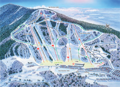
Crotched Mountain Ski Trail Map
Trail map from Crotched Mountain.
15 miles away
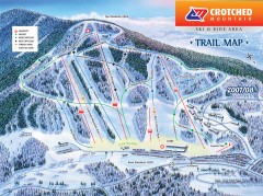
Crotched Mountain Ski Trail Map
Official ski trail map of Crotched Mountain ski area from the 2007-2008 season.
15 miles away
Mt. Watatic to Wachusett Mountain, Massachusetts...
15 miles away
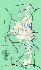
Otter River State Forest winter trail map
Winter usage trail map for Otter River State Park in Massachusetts.
16 miles away
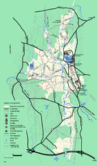
Otter River State Forest summer trail map
Summer trail map of the Otter River State Forest area in Massachusetts.
16 miles away
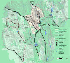
Mt. Grace State Forest trail map
Trail map of Mt. Grace State Forest near Warwick, Massachusetts.
18 miles away
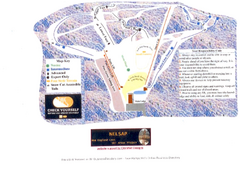
Arrowhead Arrowhead Ski Trail Map
Trail map from Arrowhead.
18 miles away
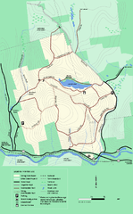
Erving State Park winter use map
Winter use map of the Erving State Park in Massachusetts
22 miles away
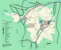
Willard Brook State Forest trail map
Trail map of Willard Brook State Forest in Massachusetts.
22 miles away

Camp Morgan Trail Map
22 miles away
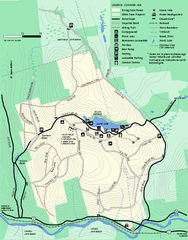
Erving Summer trail map
Summer use map of Erving State Park in Massachusetts.
22 miles away
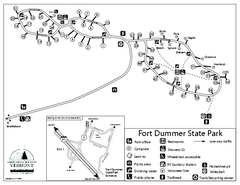
Fort Dummer State Park Campground Map
Campground map of Fort Dummer State Park in Vermont
23 miles away
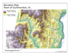
Elevation Map of Dummerston, Vermont
This Hypsometric map is a map that distinguishes elevations progression within a specific...
25 miles away
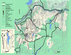
Wendell State Forest trail map
Trail map of Wendell State Forest in Massachusetts.
26 miles away
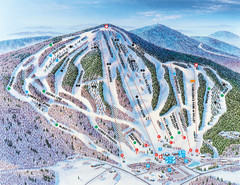
Pats Peak Ski Map
ski trail map of pats peak ski area
26 miles away
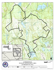
Hubbardston WMA Map
26 miles away
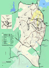
Wachusett Mountain State Reservation trail map
Trail map of Wachusett Mountain State Reservation in Massachusetts.
27 miles away
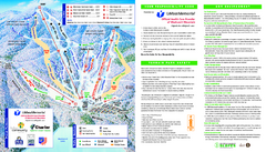
Wachusett Mountain Ski Trail Map
Trail map from Wachusett Mountain.
27 miles away
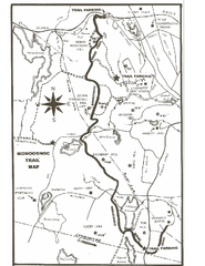
Monoosnoc Trail Map
27 miles away
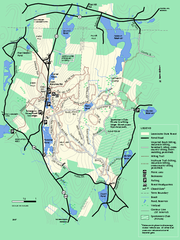
Leominster State Forest trail map
Trail map of Leominster State Forest in Massachusetts
28 miles away
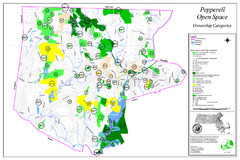
Pepperell Conservation Land and Open Spaces Map
Map showing conservation land and open spaces in Pepperell, MA.
29 miles away
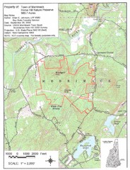
Merrimack Topo Map
A Topographical map Horse Hill Nature Preserve.
29 miles away
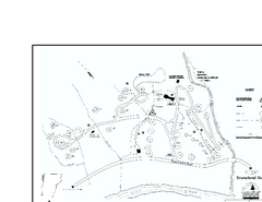
Townshend State Park Campground Map
Campground map of Townshend State Park in Vermont
32 miles away
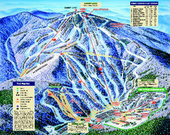
Mount Sunapee Ski Area Ski Trail Map
Trail map from Mount Sunapee Ski Area.
32 miles away
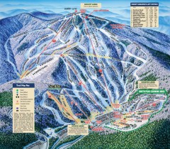
Mt. Sunapee Ski Trail Map
Official ski trail map of Mt. Sunapee ski area from the 2007-2008 season.
32 miles away
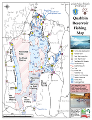
Quabbin Reservoir Fishing Map
Fishing access map of Quabbin Reservoir. Shows all ponds and submerged ponds.
33 miles away
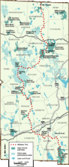
Midstate Trail Map
Map of the Midstate Trail, which runs from Ashburnham to the Rhode Island border. Shows state...
33 miles away
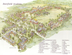
Deerfield Academy Campus Map
Shows buildings and facilities of Deerfield Academy. Scanned.
33 miles away
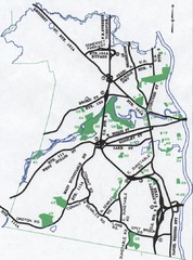
Nashua Parks Map
Map of Nashua, New Hampshire parks
33 miles away
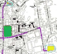
Manchester, New Hampshire City Map
34 miles away
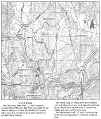
Trout Brook Conservation Area Map
35 miles away
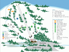
McIntyre Ski Trail Map
Official ski trail map of McIntyre ski area.
35 miles away
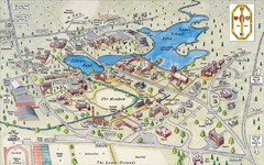
St. Paul's School Campus Map
Campus map of St. Paul's School
35 miles away
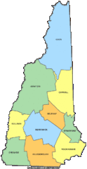
New Hampshire Counties Map
36 miles away
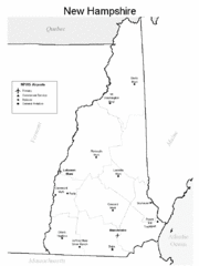
New Hampshire Airports Map
36 miles away

