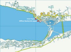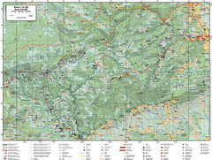
Samobor Region Cycling Route Map
Cycling route map for region west of Samobor, Croatia. Shows all routes in km
637 miles away
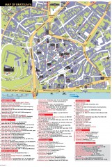
Bratislava Tourist Map
Tourist map of old town Bratislava, Slovakia shows points of interest including museums, galleries...
638 miles away
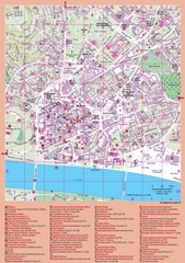
Bratislava Guide Map
638 miles away
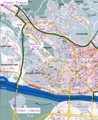
Bratislava Map
Bratislava, Slovakia detail map of streets, train routes and tourist areas.
638 miles away
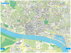
Bratislava Tourist Map
Tourist map of Bratislava, Slovakia. Shows points of interest.
638 miles away
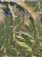
Tatras Map
The Tatras - rocks, landforms, weathering and soils field trip map with sites identified.
640 miles away
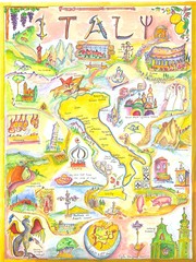
Italy Map
Work of art from my travel sketch books. Watercolor and ink original. Archival quality poster (13...
641 miles away
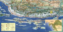
Pag Island Panoramic Map
Shows area around island of Pag, Croatia
641 miles away
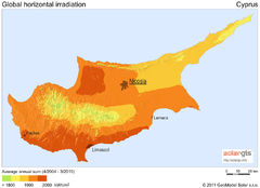
Solar Radiation Map of Cyprus
Solar Radiation Map Based on high resolution Solar Radiation Database: SolarGIS. On the Solar Map...
645 miles away
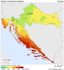
Solar Radiation Map of Croatia
Solar Radiation Map Based on high resolution Solar Radiation Database: SolarGIS. On the Solar Map...
645 miles away
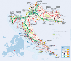
Coratia Tourist Map
Map of Croatia showing roads, international border crossings, parks, airports and ferrys.
645 miles away
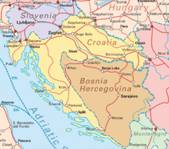
Interrail Routes for Croatia Map
Interrail railway routes for Croatia, Bosnia Hercegovina, Slovenia, and Hungary.
645 miles away
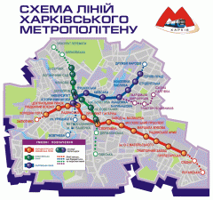
Official Kharkiv Metro Map (Ukrainian)
Official metro map of Kharkiv. In Ukrainian.
649 miles away
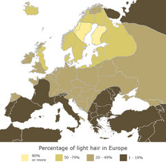
Europe Blond Hair Map
Shows percentage of light hair in Europe.
649 miles away
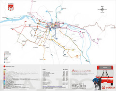
Maribor Bus Map
A map of bus lines in Maribor, Slovenia (Slovenian).
651 miles away
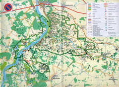
Kazimierski Landscape Park Map
Part of one of main ecological corridors in Europe enabling the birds to nest and migrate.
656 miles away
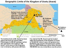
Urartu And Mount Ararat Map
Urartu Map showing Mt. Suleiman is not near Urartu.
658 miles away
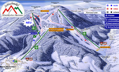
Mönichkirchen Ski Trail Map
Trail map from Mönichkirchen.
660 miles away
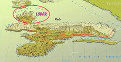
Rab Island Map
Shows beaches on Rab Island, Croatia
663 miles away
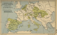
Dominions in the House of Habsburg - 1547...
664 miles away
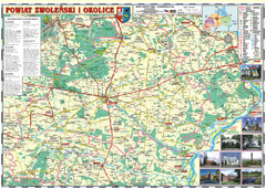
Zwolen_county_folded_map_POLAND Map
Zwolen county, paper folded map Scale 1: 70 000 Projection UTM/WGS84, GPS compatibile verified...
665 miles away
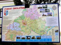
Zwolen county street map
Zwolen county - street map Big size 200 x 300 cm waterproof map
665 miles away
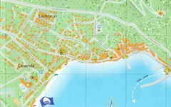
Baska Krk Tourist Map
Tourist map of Baska Krk, Croatia. Scanned.
665 miles away

Novi Vinodolski Street Map
Street map of Novi Vinodolski, Croatia. Scanned.
665 miles away
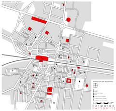
Kattowitz Tourist Map
Tourist map of Kattowitz, Poland. Shows points of interest.
667 miles away
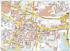
Katowice Tourist Map
Tourist map of central Katowice, Poland. Shows points of interest.
667 miles away
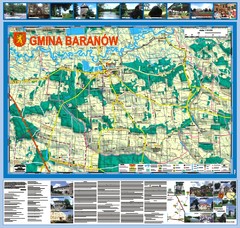
Baranow count wall map, PL Map
Baranow commune in Pulawy county, PL 3D big size wall map, surrounded by photos from Baranow area...
667 miles away
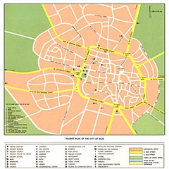
Idlib City Map
City map of Idlib with tourist information
667 miles away
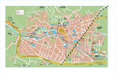
Baden City Map
City map of Baden, Austria. Shows sites of Sommer-Eurovision Sports, to take place in Baden from...
668 miles away
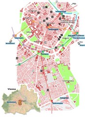
Vienna City Center Map
Map of Vienna city center
668 miles away
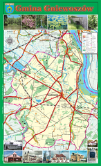
GNIEWOSZOW commune map, PL Map
Gniewoszow commune map Ed. 2007
668 miles away
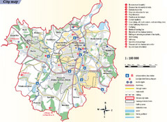
Ostrava Tourist Map
Tourist map of Ostrava, Czech Republic. Shows points of interest.
668 miles away
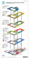
Vienna University of Technology Building Map
Building map of the Institute of Software Technology and Interactive Systems at the Vienna...
669 miles away
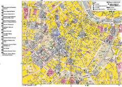
Vienna Tourist Map
Tourist street map of Vienna
669 miles away
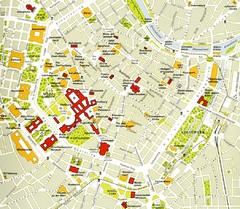
Vienna centre Map
669 miles away
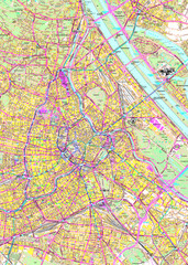
Vienna Street Map
Street map of Vienna, Austria
669 miles away
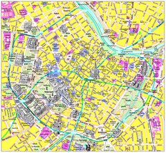
Vienna Inner City Tourist Map
Tourist map of inner city Vienna, Austria. 3D drawings of major buildings and palaces.
669 miles away
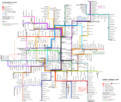
Vienna Public Transportation Map
669 miles away
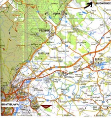
Vienna Airport Map
669 miles away

