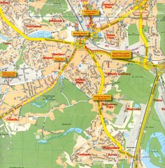
Kyiv City Map
553 miles away
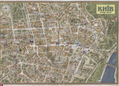
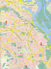
Kyiv city centre map (3D)
Street map of central Kyiv, Ukraine with all major building drawings. In English and Ukrainian. 3d...
553 miles away
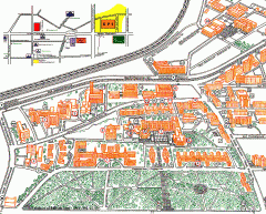
NTUU 'KPI' - University Park Campus Map
Official campus map of the National Technical University of Ukraine 'Kyiv Polytechnic...
553 miles away
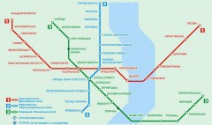
Official Kyiv Metro Map (Ukrainian)
Official metro map of Kyiv. Schematic, not tied to geography. In Ukrainian.
553 miles away

Island of Hvar Map
Map of the Island Hvar, Croatia showing roads and cities.
554 miles away

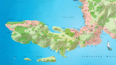
Hvar Island Map
Nautical map of the island of Hvar. Town of Sucuraj highlighted.
554 miles away
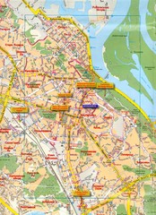
Kyiv Map
558 miles away
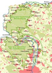
Duna-Ipoly Nemzeti Park Map
Overview map of Duna-Ipoly Nemzeti Park (Danube-Ipoly National Park) north of Budapest, Hungary
559 miles away
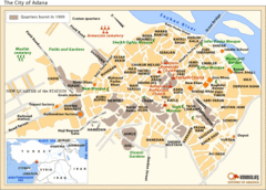
Adana City Map
Tourist map of main attractions and locations in the city of Adana
562 miles away
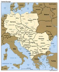
Central Europe Country Map
562 miles away
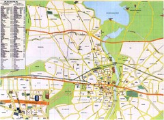
Adana City Map
City map of Adana, Turkey. Shows points of interest. In Turkish and English.
562 miles away
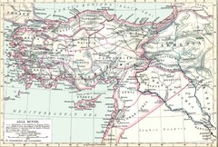
Asia Minor map
Roman era Asia Minor and surrounding areas
563 miles away
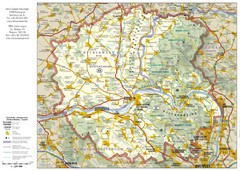
Duna-Ipoly Nemzeti National Park Map
Reference map of Duna-Ipoly Nemzeti National Park and surrounding area north of Budapest, Hungary
565 miles away
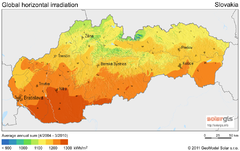
Solar Radiation Map of Slovakia
Solar Radiation Map Based on high resolution Solar Radiation Database: SolarGIS. On the Solar Map...
566 miles away
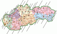
Slovakia Map
566 miles away
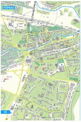
Poprad Tourist Map
Tourist map of Poprad, Slovakia. Shows points of interest.
566 miles away
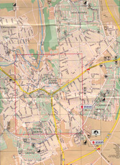
Veszprem City Map
City map of Veszprem, Hungary. Scanned.
568 miles away
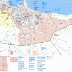
Bari Tourist Map
Tourist map of Bari, Italy. Shows consulates and points of interest.
568 miles away
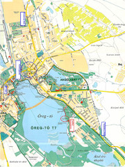
Tatai Öreg-tó Map
570 miles away

Split Bus Map
572 miles away
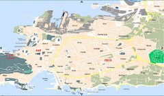
Split Tourist Map
572 miles away
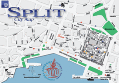
Split Tourist Map
Tourist map of central Split, Croatia.
572 miles away
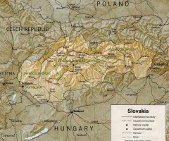
Slovakia country map
Map of Slovakia with surrounding countries. Shows boundaries, major cities, and shaded with...
574 miles away
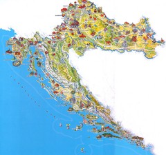
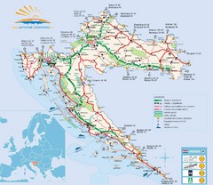
Tourist Map of Croatia
576 miles away
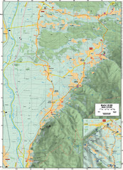
Cycling Paths in Croatia - Medvednica Nature Park...
Bike Paths and Routes for the picturesque western foothills of Medvednica Nature Park. Note: The...
577 miles away
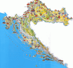
Croatia Tourist Map
Cool illustrated tourist map highlights significant tourist destinations with drawings of buildings...
577 miles away
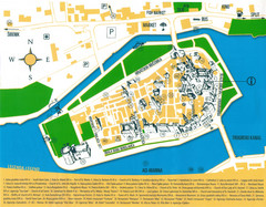
Trogir Croatia Tourist Map
Trogir, Croatia tourist map showing monuments and tourist sites with a legend.
581 miles away
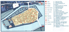
Trogir Tourist Map
Tourist map of old island town Trogir, Croatia. Shows points of interest.
581 miles away
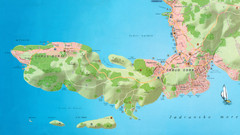
Okrug Donji and Okrug Gornji Tourist Map
Tourist map of Okrug Donji, Croatia and Okrug Gornji, Croatia
581 miles away
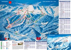
Jasná Ski Trail Map
Trail map from Jasná.
585 miles away
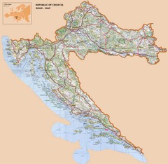
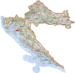
Croatia Road Map
585 miles away
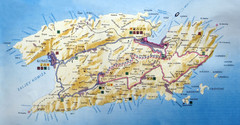
Vis Island Map
586 miles away
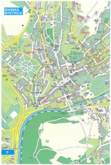
Banska Bystrica Tourist Map
Tourist map of central Banska Bystrica, Slovakia. Shows points of interest. Scanned.
588 miles away
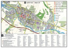
Liptovsky Mikulas Tourist Map
Tourist map of Liptovsky Mikulas, Slovakia
589 miles away
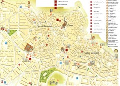
Matera Tourist Map
Tourist map of Matera, Italy. Shows points of interest.
590 miles away
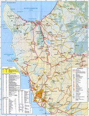
Paphos Tourist Map
Tourist map of Paphos, Cyprus. Shows points of interest in western coastal region of Cyprus around...
593 miles away

