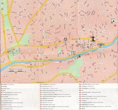
Sarajevo Downtown Map
Free tourist map of downtown Sarajevo from Sarajevo Navigator Brochure
478 miles away
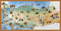
Cartoonish map of Turkey
480 miles away
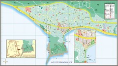
Alanya Tourist Map
Tourist map of central Alanya, Turkey. Shows points of interest.
482 miles away
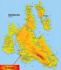
Kefalonia Map
482 miles away
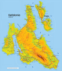
Kefalonia and Ithaka Map
Detailed elevation map of islands of Kefalonia and Ithaka (Ithaki), Greece
483 miles away
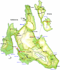
Kefalonia and Ithaka Overview Map
Overview map of the islands of Kefalonia and Ithaka (Ithaki), Greece.
485 miles away
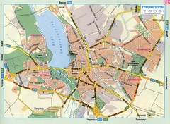
Ternopil Ukraine Map
486 miles away
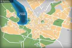
Ternopil_ukr Map
486 miles away
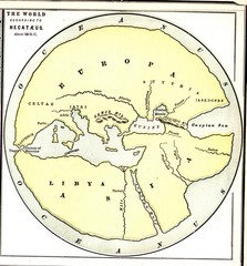
Hecataeus World Map
Map showing Hecataeus' World view
487 miles away
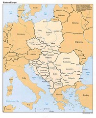
Eastern European Map
Map of Eastern Europe, Poland to Bulgaria
488 miles away
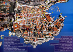
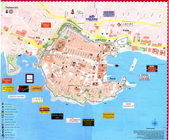
Old Town Dubrovnik Tourist Map
Tourist map of old town Dubrovnik, Croatia. Shows churches, forts, squares, and other points of...
488 miles away
Dubrovnik Map
488 miles away
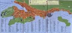
Dubrovnik City Map
City map of Dubrovnik, Croatia. Street index and shows services. Scanned.
489 miles away
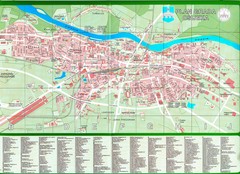
Osijek City Map
City map of Osijek, Croatia. With street index.
491 miles away
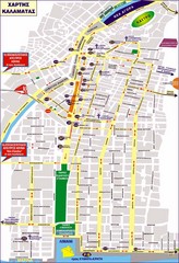
Kalamata Tourist Map
Tourist map of central Kalamata, Greece. Shows points of interest. In Greek.
491 miles away
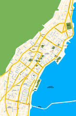
Argostoli City Map
Simple street map of island city of Argostoli, Kefalonia, Greece. Some points of interest shown.
492 miles away
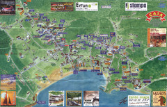
Tsilivi Tourist Map
Tourist map of town of Tsilivi, Zakynthos Island, Greece. Shows businesses. Scanned
494 miles away
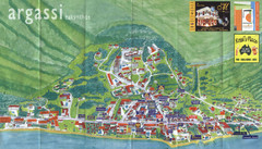
Argassi Tourist Map
Tourist map of Argassi, Zakynthos Island, Greece. Shows all businesses. Scanned.
494 miles away
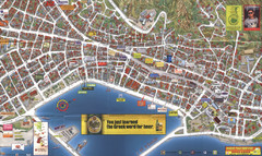
Zakynthos Town Map
Detailed tourist map of Zakynthos Town, Zakynthos Island, Greece. Shows businesses.
494 miles away
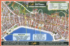
Zakynthos City Tourist Map
Tourist map of Zakynthos city on Zakynthos Island. Shows major points of interest and bus routes...
494 miles away
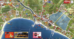
Alykanas and Alykes Map
Tourist map of Alykanas and Alykes, Zakynthos Island, Greece. Shows businesses.
496 miles away
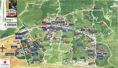
Kalamaki Zakynthos Tourist Map
Tourist map of town of Kalamaki on Zakynthos Island. Scanned.
496 miles away
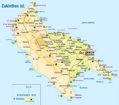
Zakinthos Tourist Map
Tourist map of island of Zakinthos, Greece. Shows symbols for tourist activities.
498 miles away
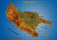
Zakynthos Tourist Map
Tourist map of island of Zakynthos, Greece. Shows points of interest. Scanned.
498 miles away
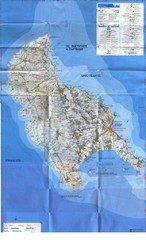
Zakynthos Island Map
Detailed map of Zakynthos Island. Scanned
499 miles away
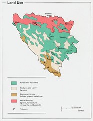
Bosnia and Herzegovina Land Use Map
Map of Bosnia's land use
502 miles away
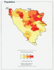
Bosnia and Herzegovina Population Density Map
Map of Bosnia and Herzegovina's population density
504 miles away
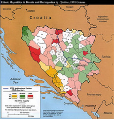
Ethnic Majorities in Bosnia and Herzegovina Map
505 miles away
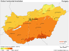
Solar Radiation Map of Hungary
Solar Radiation Map Based on high resolution Solar Radiation Database: SolarGIS. On the Solar Map...
507 miles away
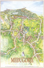
Medjugorje Tourist Map
Tourist map of town of Medjugorje, Bosnia & Herzegovina.
509 miles away
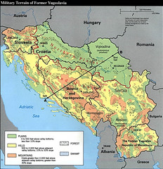
Bosnia and Herzegovina Military Terrain Map
Map of military terrain of former Yugoslavia
512 miles away
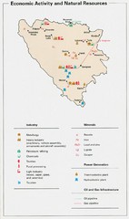
Bosnia and Herzegovina Economic Activity Map
Map of economic activity throughout Bosnia and Herzegovina
512 miles away
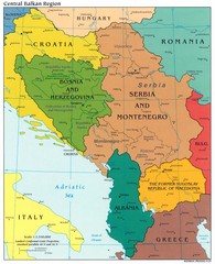
Central Balkan Political Map
512 miles away
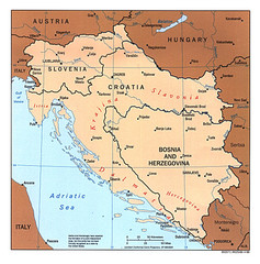
West Balkan States Tourist Map
512 miles away

Slavonski Brod Tourist Map
Map of Slavonski Brod, Croatia showing streets, hotels, restaurants and tourist attractions.
512 miles away
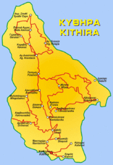
Kythira Island Map
512 miles away
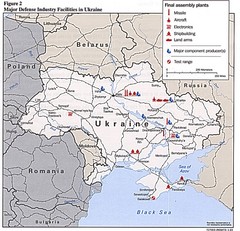
Ukraine Defense Facilities Map
Map of major defense industry facilities throughout Ukraine
514 miles away
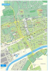
Humenne Tourist Map
Tourist map of Humenne, Slovakia. Shows all points of interest.
514 miles away

Lviv. Southern outskirts of city (in Ukrainian...
Lviv. High detailed southern outskirts of city (in Ukrainian)
515 miles away

