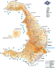
Santorini Tourist Map
Tourist map of Greek island of Santorini. Shows roads and points of interest with legend.
452 miles away

Central Balkan Map
Countries in Central Europe
453 miles away
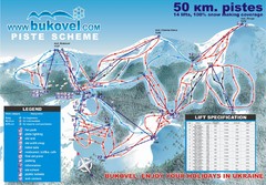
Bukovel Ski Resort Map
Map of Bukovel's slopes, lifts and resort
454 miles away

Bács-Bodrog vármegye Map
454 miles away

Montenegro Coast Map
Panoramic map of the coast of Montenegro on the Adriatic Sea.
455 miles away

Bácstopolya Map
455 miles away

Ukraine Places of Interest Map
Overview map of Ukraine. Shows places of interest. Inset map shows administrative and territorial...
455 miles away
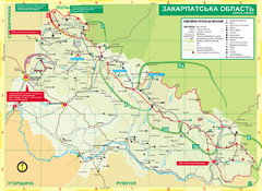
Transcarpathia Hiking Trail Map
Map of the Transcarpathia Hiking Trail (THT) in Ukraine. Trail runs through the territory of...
456 miles away
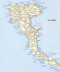
Corfu Guide Map
458 miles away
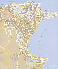
Corfu Town Map
Tourist map of town of Corfu (Kerkyra) on the island of Corfu, Greece.
458 miles away
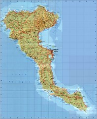
Corfu Tourist Map
Tourist map of island of Corfu, Greece. Shows roads and points of interest.
458 miles away
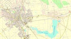
Szabadka és környéke Map
460 miles away
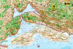
Kotor Bay Tourist Map
Tourist Map of Bay of Kotor, Montenegro.
461 miles away

Bács Map
461 miles away
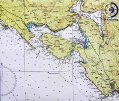
Bay of Boka Map
461 miles away
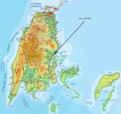
Lefkada Tourist Map
Tourist map of island of Lefkada, Greece.
461 miles away
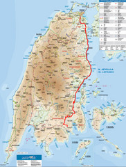
Lefkada Tourist Map
Tourist map of Ionian island of Lefkada, Greece. Shows points of interest. Also shows island of...
461 miles away
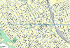
Szabadka belváros Map
463 miles away
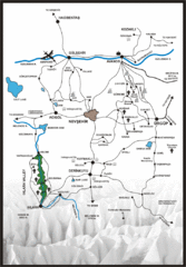
Tourist map of Cappadocia
Map displaying the Anatolian extraordinary landscape of Cappadocia.
464 miles away

Bácskossuthfalva Map
464 miles away
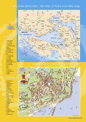
Boka Kotorska Bay and Herceg Novi Tourist Map
Tourist map of the bay of Boka Kotorska and old town Herceg Novi. In Croatian and English.
465 miles away
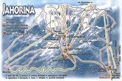
Jahorina Ski Trail Map
Trail map from Jahorina.
466 miles away
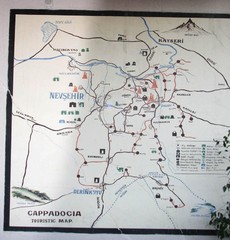
Nevsehir Tourist Map
Photo of Cappadocia tourist Map at the Nevsehir, Turkey Dedeman Hotel
468 miles away

Bajmok Map
469 miles away
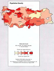
Turkey Population Density Map
Map of Turkey's population density
470 miles away
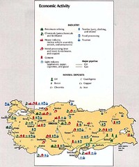
Turkey Economic Activity Map
Map of Turkey's economic activity
470 miles away

Turkey Fules and Minerals map
470 miles away
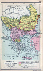
Balkan Peninsula Historical Map
Border changes around Turkey in Europe from 1856 to 1878.
470 miles away
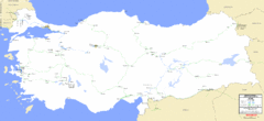
Turkey Railways Map
Network map, current and disused railways in Turkey as of 3/2005
470 miles away
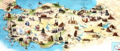
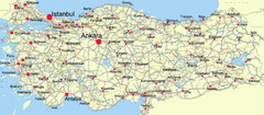
Turkey Tourist Map
Overview map of Turkey with drawings for major tourist attractions and structures.
470 miles away
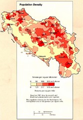
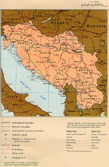
Yugoslavian Population Map
This map clearly marks Yugoslavia's distribution of its population.
472 miles away
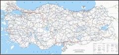
Turkey Major Highways Map
474 miles away
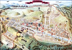
Sarajevo Survival Map 1992-1996
From creator famainternational.com: " Sarajevo Survival Map 92-96 is the ultimate visual...
475 miles away
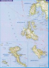
Ionian Islands Map
Overview map of the Greek Ionian Islands including Lefkada, Kefalonia, Zakynthos, Corfu, and Paxo...
478 miles away

