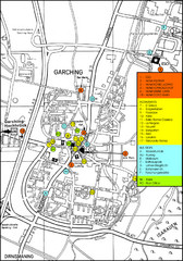
Garching Map
Map of Garching, a suburb to the north of Munich, with hotels, restaurants and bus stops marked.
256 miles away

Temerin Map
256 miles away
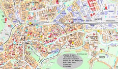
Ljubljana City Map
City map of Ljubljana, Slovenia. Shows some points of interest.
256 miles away
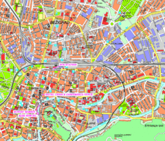
Ljubljana Tourist Map
Tourist map of central Ljubljana, Slovenia.
257 miles away
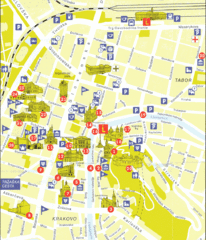
Ljubljana Slovenia Tourist Map
Tourist Map of Ljubljana Slovenia showing sites and roads of the city.
257 miles away
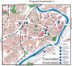
Traunstein Map
Street map of Traunstein
258 miles away
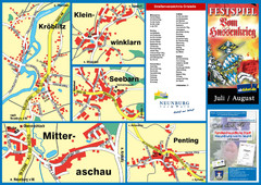
Neunburg vorm Wald District Map
Tourist street map of districts of Neunburg
258 miles away
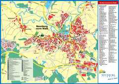
Neunburg vorm Wald Map
Tourist street map of Neunburg vorm Wald
258 miles away
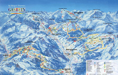
Gastein Ski Trail Map
Ski trail map of the Gastein Valley in Austria. Shows lift systems from Bad Gastein, Bad...
258 miles away

Slavonski Brod Tourist Map
Map of Slavonski Brod, Croatia showing streets, hotels, restaurants and tourist attractions.
258 miles away
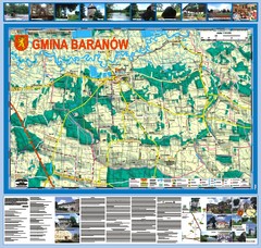
Baranow count wall map, PL Map
Baranow commune in Pulawy county, PL 3D big size wall map, surrounded by photos from Baranow area...
258 miles away
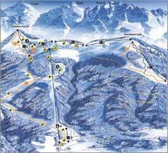
Arnoldstein—Dreiländereck Ski Trail Map
Trail map from Arnoldstein—Dreiländereck, which provides downhill skiing. It has 8 lifts. This...
259 miles away
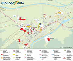
Kranjska Gora town map
Blurb from town website: The Zgornjesavska Valley is one of the most breathtaking alpine valleys...
259 miles away
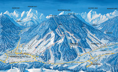
Kranjska Gora Ski Trail Map
Ski trail map of Kranjska Gora ski area.
259 miles away
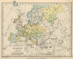
Europe 15th Century Colbeck Map
Europe during the 15th Century
260 miles away
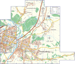
Frankenberg Map
Street map of Frankenberg and surrounding region
263 miles away
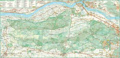
Kampinoski National Park Map
Kampinoski National Park
263 miles away
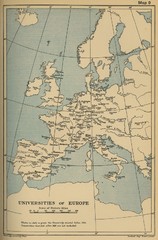
Universities of Europe Historical Map
264 miles away
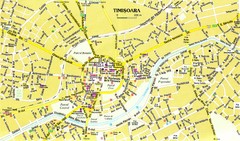
Timisoara Tourist Map
Tourist map of central TimiÅŸoara, Romania. Shows points of interest.
264 miles away
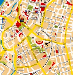
Chemnitz Center Map
Street map of Chemnitz center
264 miles away
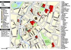
Chemnitz Tourist Map
Tourist map of Chemnitz city center
264 miles away
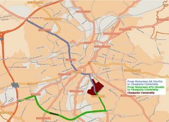
Chemnitz University Location Map
Location of Chemnitz University
264 miles away
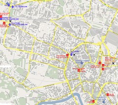
Warsaw, Poland Tourist Map
265 miles away
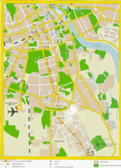
Warsaw, Poland Tourist Map
265 miles away
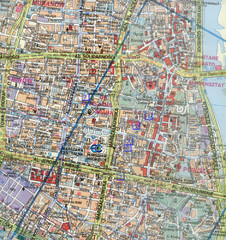
Warsaw, Poland Tourist Map
265 miles away
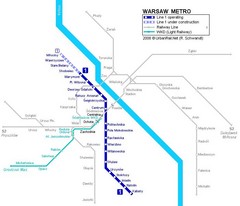
Warsaw Metro Map
265 miles away
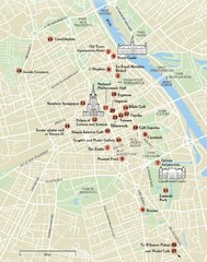
Warsaw Tourist Map
City map of Warsaw, Poland showing tourist sites, parks and major roads.
265 miles away
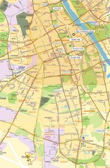
Warsaw University Map
Map of Warsaw University and surrounding area.
265 miles away
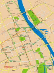
Central Warsaw Tourist Map
Warsaw, Poland Tourist Map showing roads, mass transit routes, and parks.
265 miles away
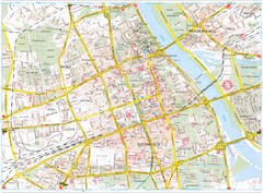
Warsaw Tourist Map
Tourist map of central Warsaw, Poland. Shows points of interest.
266 miles away
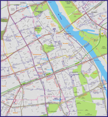
Warsaw City with Bus Routes Map
266 miles away
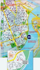
Novi Sad City Map
City map of central Novi Sad, Serbia. Bus route to a conference drawn on top of scanned map.
266 miles away
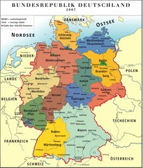
Deutschland Map
266 miles away
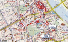
Warsaw Tourist Map
Tourist map of central Warsaw, Poland near University of Warsaw. Shows points of interest.
266 miles away
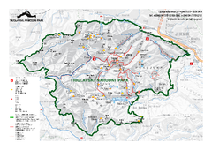
Triglav National Park Map
Triglav National Park is the only Slovenian national park. The park was named after Triglav, the...
267 miles away
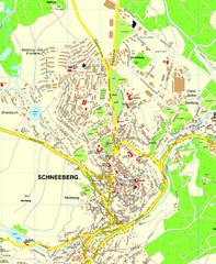
Schneeberg Map
Street map of city of Schneeberg
268 miles away
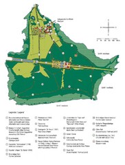
Chiemsee Island Germany Tourist Map
Tourist map of the island showing all the tourist sites.
269 miles away
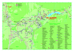
St. Ulrich am Pillersee Map
Village map of St. Ulrich am Pillersee, Austria
269 miles away

