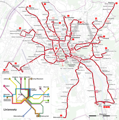
Salzburg Trolleybus Map
241 miles away
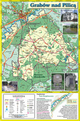
Grabow nad Pilica commune map
Grabow nad Pilica commune map Ed. 2006
241 miles away
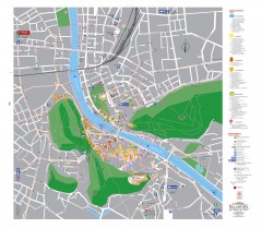
Salzburg Tourist Map
Tourist map of Salzburg, Austria. In German.
242 miles away
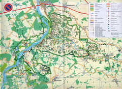
Kazimierski Landscape Park Map
Part of one of main ecological corridors in Europe enabling the birds to nest and migrate.
242 miles away
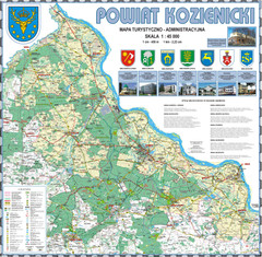
Kozienice_County_wall_map Map
Kozienice County big size wall map Covers all 7 communes: Kozienice, Garbatka-Letnisko, Grabow nad...
242 miles away
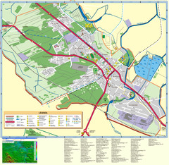
Kocienice_City_Plan-POLAND Map
Plan of City of Kozienice, PL
242 miles away
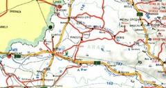
Arad Map
242 miles away
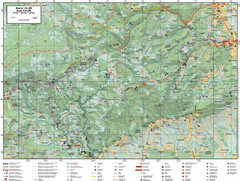
Samobor Region Cycling Route Map
Cycling route map for region west of Samobor, Croatia. Shows all routes in km
242 miles away
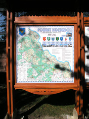
Kozienice_County_Poland_Streetmap.jpg Map
Street Map of Kozienice_County_Poland_Streetmap.jpg is added here because of the interesting wooden...
242 miles away
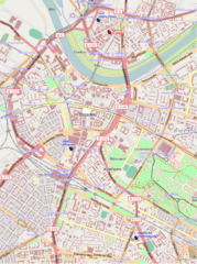
Dresden, Germany Tourist Map
Hotels in Dresden, Germany
243 miles away
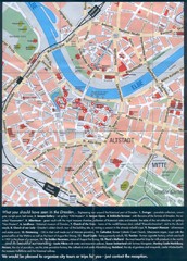
Dresden Tourist Map
Tourist map of center of Dresden, Germany. Shows major tourist attractions.
243 miles away
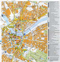
Drezden Center Map
243 miles away
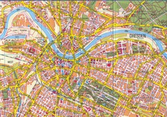
Drezden Map
243 miles away
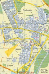
Freilassing Map
Street map of Freilassing
244 miles away
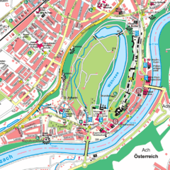
Burghausen Tourist Map
Tourist street map of Burghausen
244 miles away
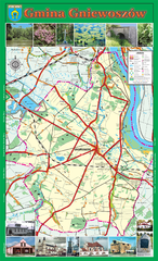
GNIEWOSZOW commune map, PL Map
Gniewoszow commune map Ed. 2007
244 miles away
Óbecse Map
245 miles away
Sieciechow commune street map, PL Map
Sieciechow commune - street map Ed. 2007 Size 2000 x 1000 mm Type: administratie and touristic map
245 miles away
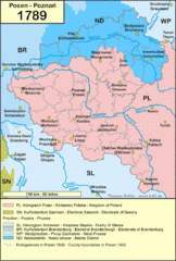
1789 Poland Map
Polish kingdoms and districts in 1789
245 miles away
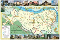
Sieciechow, Poland, Mazovia Map
Sieciechow commune map, Mazovia, PL
246 miles away
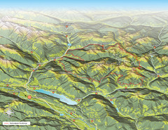
Nockberge National Park Map
Outline map of Nockberge National Park, Austria in the summer. Shows surrounding towns.
247 miles away
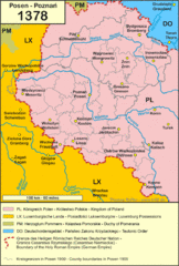
1378 Posen Map
248 miles away
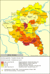
Posen Population Map
248 miles away
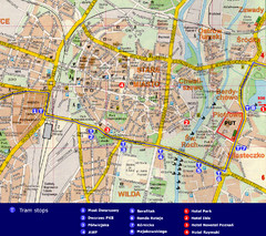
Poznan City Map
City map of Poznan with Tram stops and hotels
248 miles away
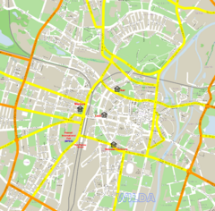
Poznan Street Map
Street map of Poznan, Poland.
248 miles away
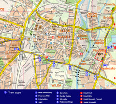
Poznan Tourist Map
Tourist map of central Poznan, Poland. Shows tram stops, hotels, and other points of interest.
248 miles away
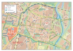
Poznan City Map
City map of center of Poznan, Poland. Shows bus and tram routes.
248 miles away
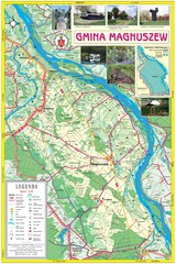
Magnuszew Commyne - Touristic map
Magnuszew commune - touristic, folded map.
248 miles away

Bács Map
249 miles away
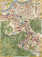
Karlovy Vary Czech Republic Tourist Map
Tourist map of Karlovy Vary, Czech Republic. Shows businesses, buildings of historical interest and...
249 miles away

Bácsföldvár Map
251 miles away
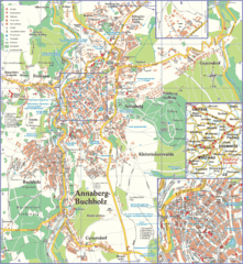
Annaberg-Buchholz Tourist Map
Tourist map of Annaberg-Buchholz region
253 miles away
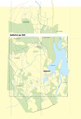
Naßlettel Map
255 miles away
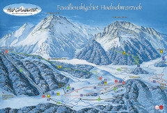
Berchtesgadener Land Ski Trail Map
Trail map from Berchtesgadener Land.
255 miles away
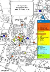
Map of the city of Garching, Germany
General visitor information including the locations of restaurants, hotels, bus stops and more.
255 miles away
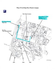
Garching Max-Planck Campus Map
Map of the Max-Planch Campus in Garching, Germany. Includes information on Accommodation and...
255 miles away

