Danube River Basin by Maps Illustrated Map
Map from Diplomat magazine from an article on the economic region based on the Danube Basin
199 miles away
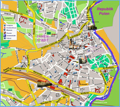
Goerlitz Tourist Map
Tourist street map of Goerlitz
207 miles away
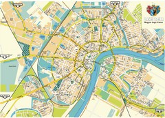
Szeged Map
Map of central Szeged, Hungary
207 miles away
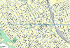
Szabadka belváros Map
208 miles away
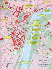
Szeged Tourist Map
Tourist map of central Szeged, Hungary. Shows points of interest.
208 miles away
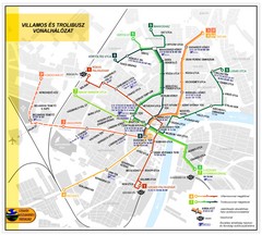
Szeged Public Transportation Map (Hungarian)
208 miles away
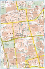
Lódź Tourist Map
Tourist map of central Lódź, Poland. Shows points of interest.
208 miles away
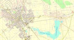
Szabadka és környéke Map
209 miles away
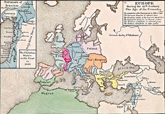
Old Map of Europe - 12th century
209 miles away
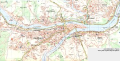
Passau Map
City map of Passau and surrounding area
210 miles away
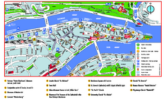
Passau Tourist Map
Tourist map of Passau, Germany. Shows points of interest. In English.
210 miles away
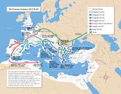
Germanic Invasions Map 378-439
Shows the breakdown of the Roman frontier in the late 4th and early 5th centuries.
210 miles away

Bajmok Map
212 miles away
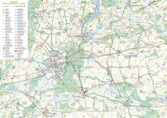
mapa rowerowa okolice leszna Map
214 miles away
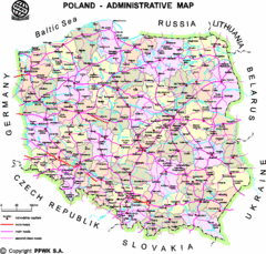
Poland Map
Map of Poland that includes all freeways, cities, districts and surrounding countries.
214 miles away
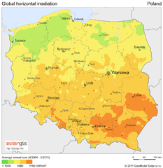
Solar Radiation Map of Poland
Solar Radiation Map Based on high resolution Solar Radiation Database: SolarGIS. On the Solar Map...
215 miles away
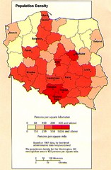
Poland Population Density Map
Map of Poland's population density
215 miles away
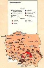
Poland Economic Activity Map
Map of Poland's economic activity
215 miles away

Poland Map
Map of Poland showing major roads, railroads, cities and boundaries.
215 miles away
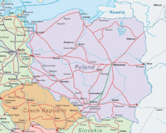
Interrail Routes in Central Europe Map
Map shows railway routes for Poland, Germany, Czech Republic and Slovakia.
215 miles away

Poland Country Map
CIA Atlas of Eastern Europe - PCL Map Collection, University of Texas at Austin.
215 miles away
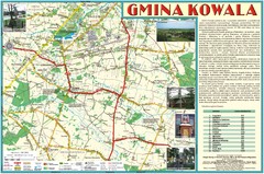
Kowala_Mazovia_poland.jpg Map
Map of Kowala_Mazovia_poland.jpg is a Kowala commune map, created with use of GlobalMapper and...
215 miles away
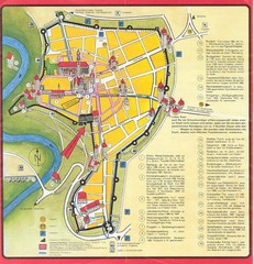
Rothenburg Tourist Map
Tourist map of town of Rothenburg
217 miles away
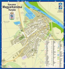
Kanizsa City Map
City map of Kanjiza, Serbia. Shows businesses.
217 miles away
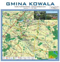
Kowala Commune - near Radom, PL Map
Kowala-Stepocina Commune - the administrative and touristic wall map, scala 1:12500, with 3D effect...
218 miles away
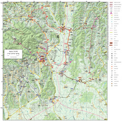
Zagreb County Cycling Route Map
Shows a cycling route in Zagreb County, Croatia. From the Roman “Magna Vie” near Komin...
218 miles away
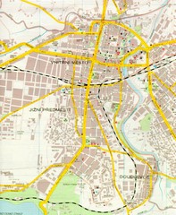
Plzen City Map
City map of Plzen, Czech Republic. Scanned.
218 miles away
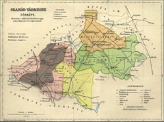
Csanád vármegye Map
218 miles away

Bácskossuthfalva Map
220 miles away
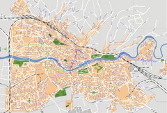
Oradea Tourist Map
Tourist map of Oradea, Romania.
221 miles away
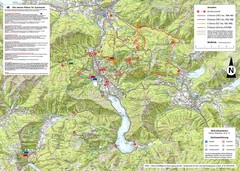
Central Austria Hiking Map
Large map of hiking and emergency services.
221 miles away
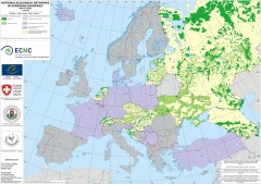
National Ecological Networks of European...
Shows core areas and ecological corridors in European countries with Ecological Network plans. By...
223 miles away
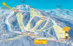
Arber Ski Trail Map
Trail map from Arber.
223 miles away
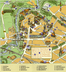
Bautzen Tourist Map
Tourist map of Bautzen town center
225 miles away
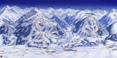
Planai-Hochwurzen Ski Trail Map
Trail map from Schladming.
226 miles away

Bácstopolya Map
226 miles away
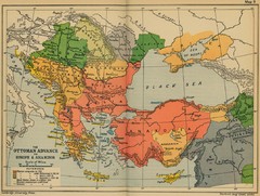
The Ottoman Advance of Europe and Asia Minor Map
226 miles away


