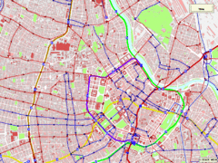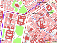
vienna public transport Map
90 miles away
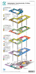
Vienna University of Technology Building Map
Building map of the Institute of Software Technology and Interactive Systems at the Vienna...
90 miles away
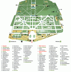
Schonbrunn Palace map
From Wikipedia: Schonbrunn Palace (German: Schloss Schonbrunn) in Vienna is one of the most...
93 miles away
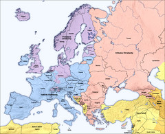
Traditional European Religious Majorities by...
Shows the traditional religious majorities by region in Europe.
99 miles away
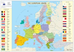
European Union Member States Map
Shows all member states and years joined. Also shows candidate states.
100 miles away
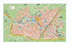
Baden City Map
City map of Baden, Austria. Shows sites of Sommer-Eurovision Sports, to take place in Baden from...
103 miles away
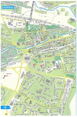
Poprad Tourist Map
Tourist map of Poprad, Slovakia. Shows points of interest.
103 miles away
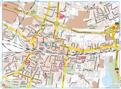
Katowice Tourist Map
Tourist map of central Katowice, Poland. Shows points of interest.
104 miles away
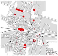
Kattowitz Tourist Map
Tourist map of Kattowitz, Poland. Shows points of interest.
104 miles away
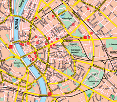
Budapest Street Map
Street map of central Budapest, Hungary.
107 miles away
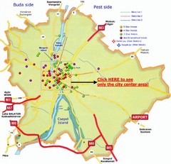
Budapest Hotel Map
107 miles away
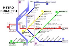
Budapest Metro Map
107 miles away
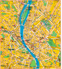
Budapest Tourist Map
107 miles away
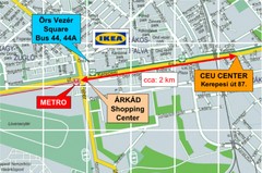
Local Budapest Tourist Map
Stores, main streets and locations in Central Budapest
107 miles away
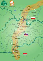
Amber Trail Budapest-Krakow Map
Amber Trail map showing the trail from Budapest to Krakow where you will see several heritage sites.
107 miles away
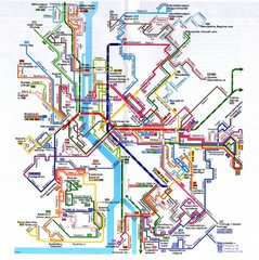
Budapest Public Transportation Map
107 miles away
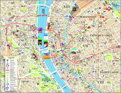
Budapest Tourist Map
Tourist map of central Budapest, Hungary. Shows theaters, museums, post offices, churches, and...
107 miles away
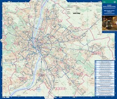
Budapest Night Bus Routes Map
Map of night bus routes in Budapest, Hungary
107 miles away
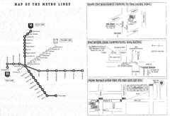
Central European University Metro and Bus Line Map
107 miles away
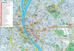
Budapest Hotel Map
Tourist map of Budapest, Hungary. Shows all hotels.
108 miles away
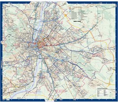
Budapest Public Transit map
108 miles away
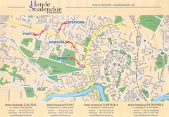
Cracow City Map
City map of Cracow with hotels
117 miles away
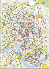
Krakow City Center Map
117 miles away
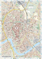
Krakow City Map
City map of central Krakow, Poland.
118 miles away
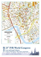
Krakow Map
Map of the city of Krakow. Includes streets, buildings, hotels, and parks.
118 miles away
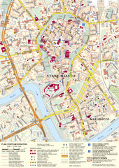
Krakow Tourist Map
Tourist map of central Krakow, Poland. Shows tourist routes and site of historic interest.
118 miles away
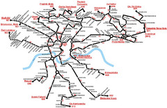
Krakow Bus Routes Map
118 miles away
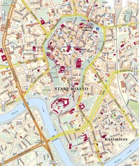
Krakow Tourist Map
118 miles away
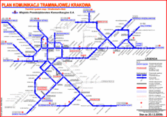
Cracow Tramlink Map (Polish)
118 miles away
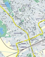
Székesfehérvár City Map
City Map of Székesfehérvár
119 miles away
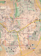
Veszprem City Map
City map of Veszprem, Hungary. Scanned.
125 miles away
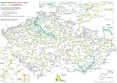
Elevation Railway Map of Czech Republic
Elevation of railways and main stations in Czech republic. Blue numbers show elevation of stations...
126 miles away
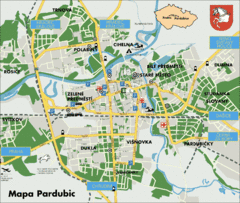
Pardubice Tourist Map
Tourist map of Pardubice, Czech Republic
129 miles away
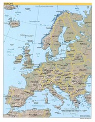
Europe relief Map
Map of Europe showing mountains, cities, countries and borders
129 miles away
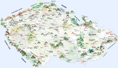
Czech Republic Castle map
Castle map of the Czech Republic
131 miles away
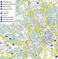
Czech Republic Tourist Map
Czech Republic Tourist Map. Includes roads, landmarks and street names.
131 miles away
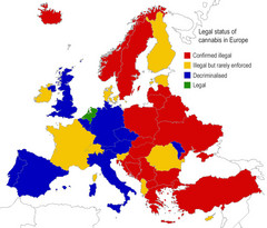
Legal Status of Cannabis in Europe Map
Shows legal status of marijuana in each European country.
132 miles away

